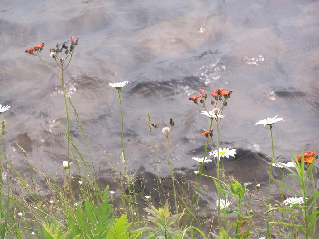
Wildflowers Along the Lake


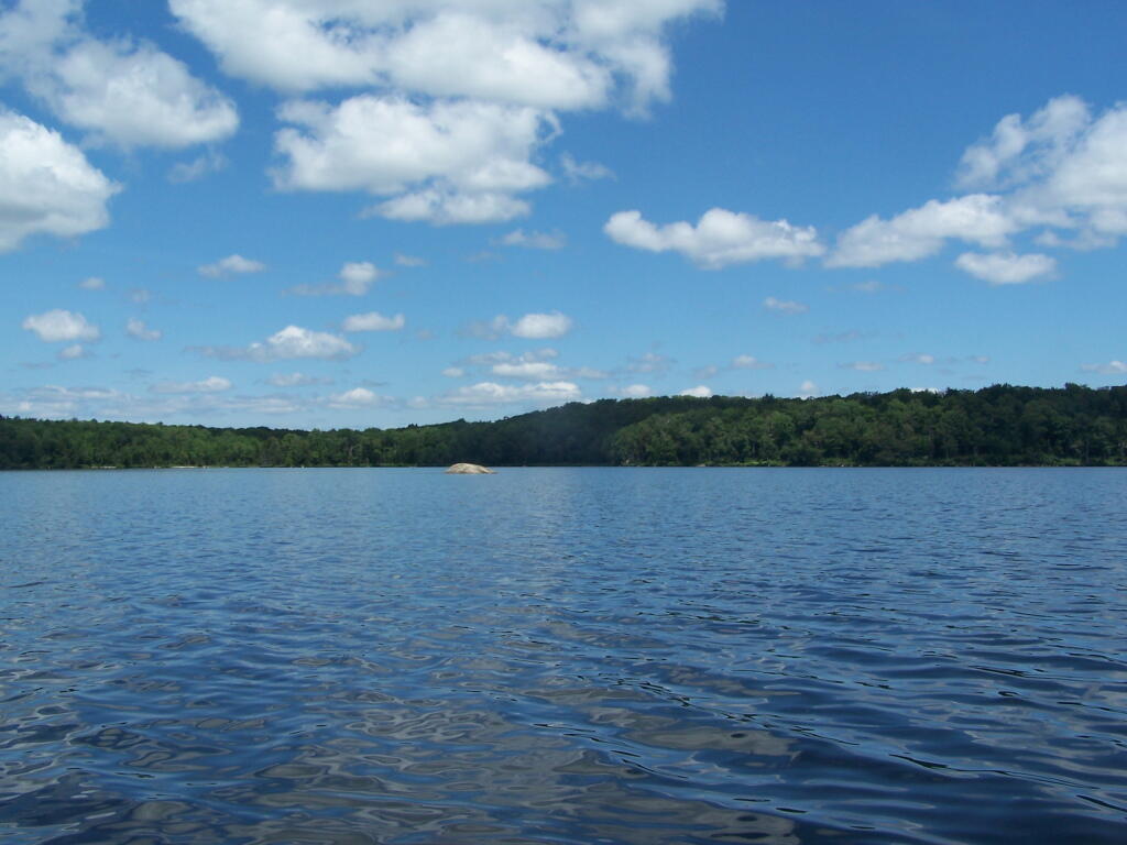
While it's not clear from the picture, the object on the left is actually an island, or maybe more properly, a mountain, surrounded by water by the the Woodhull Lake Dam.
Monday June 27, 2011 — Woodhull Lake Reservior — Bear Lake 🗺 — Remsen Falls Trail 🗺 — Woodhull Lake 🗺 — Woodhull Mountain 🗺— PDF with All Maps 📚

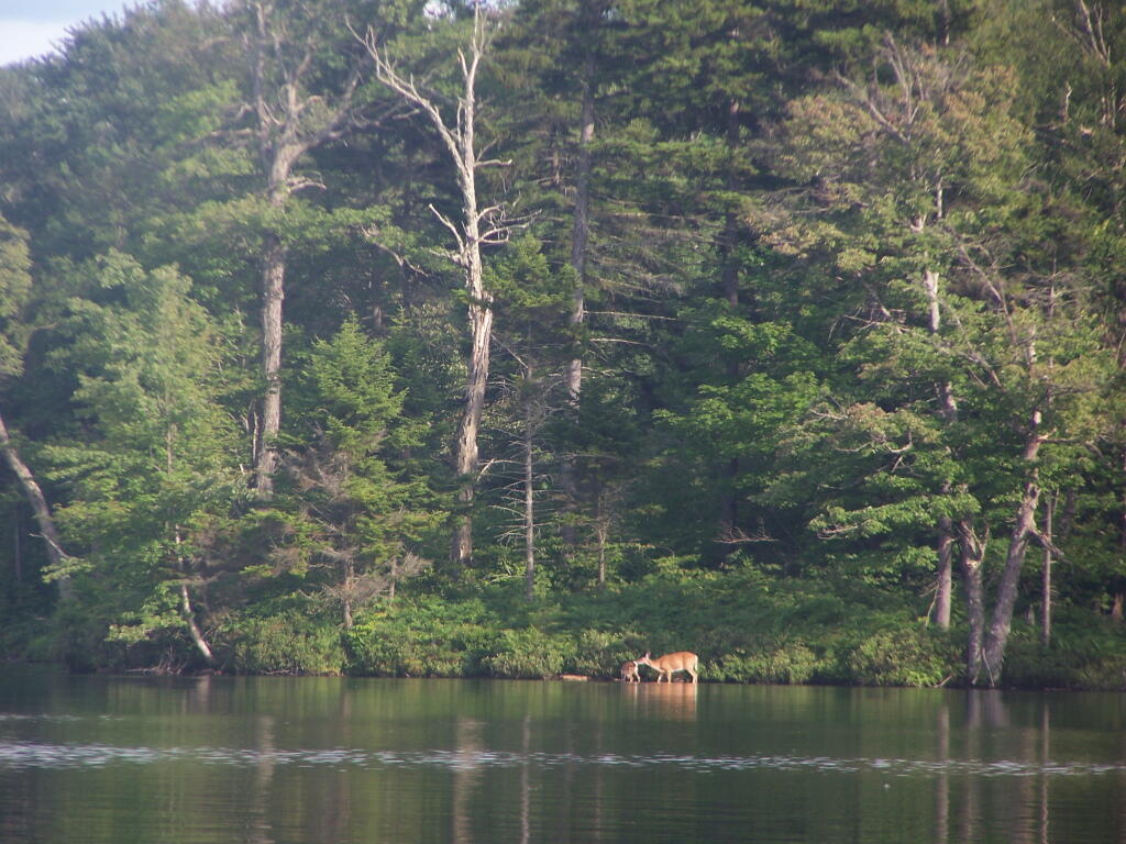

Woodhull Lake is man-made, and in many places is relatively shallow.
Monday June 27, 2011 — Woodhull Lake Reservior — Bear Lake 🗺 — Remsen Falls Trail 🗺 — Woodhull Lake 🗺 — Woodhull Mountain 🗺— PDF with All Maps 📚