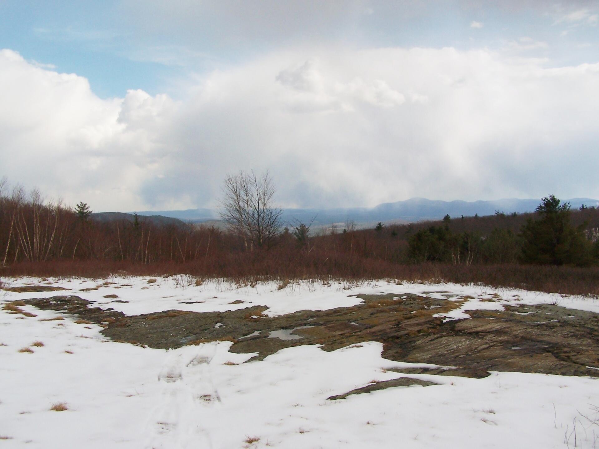
South from Harvey Mountain 🖼️
Download a High Resolution JPEG Image of the South from Harvey Mountain or an Adobe Acrobat Printable PDF of the South from Harvey Mountain.
South from Harvey Mountain ...
Taken on Saturday April 2, 2011 at Harvey Mountain State Forest.

More about Harvey Mountain State Forest...
Harvey Mountain State Forest are managed for multiple uses, including timber production, watershed protection, wildlife habitat and recreation. Recreational opportunities include hiking, biking, picnicking, horseback riding (except on foot trails and snowmobile/ski trails when snow covered), camping, snowmobiling, cross-country skiing, hunting, fishing, trapping, wildlife observation and photography.
Harvey Mountain State Forest also has a lean-to along the trail, as well as a large, unique blueberry patch at the summit of the mountain.
http://www.dec.ny.gov/lands/66460.html


No Comments
Names of peaks seen in this photo? Hiked Harvey Mountain 1st time Sunday. Found your site searching for names of peaks seen when I stood on the bench. Wonderful pages, Andy. Thank you.