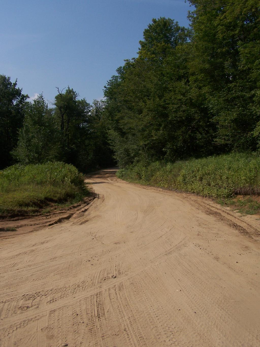
Old Military Road 🖼️
Download a JPEG Image of the Old Military Road.
Old Military Road ...
Taken on Sunday August 1, 2010 at Perkins Clearing and Speculator Tree Farm Conservation Easement Lands.

More about Perkins Clearing and Speculator Tree Farm Conservation Easement Lands...
The Perkins Clearing/Speculator Tree Farm Conservation Easement Lands span 40,000 acres near Speculator, divided into the 14,332-acre Perkins Clearing Tract and the 21,648-acre Speculator Tree Farm Tract. Access is allowed with limitations due to private ownership, active logging, and leased cabins. Public recreation is permitted within special guidelines -- camping only at designated sites, certain trails and roads may be closed for logging -- look for signs that designate use.
Download the PDF Map Pack with All Maps from Perkins Clearing and Speculator Tree Farm Conservation Easement Lands.


No Comments
I noticed on the Nat Geo map that there is a gate on the military road at Perkins Clearing. Planning a loop hike around Cedar, Pillsbury and Mud lakes in October. Is this gate open year round and is the military road passable to Pillsbury Mtn. trail head with a car?
I don’t recall there being a gate on Old Military Road, but there is one on Jessup River Road on both ends when it comes to NY 30. This gate is open from June 1 – December 1. Jessup River Road is in good shape, Old Military Road has some wash out in parts, but it should be accessible with due care. The DEC has good maps of this area. https://www.dec.ny.gov/lands/49562.html
Thanks Mate! Sent you an FB message.