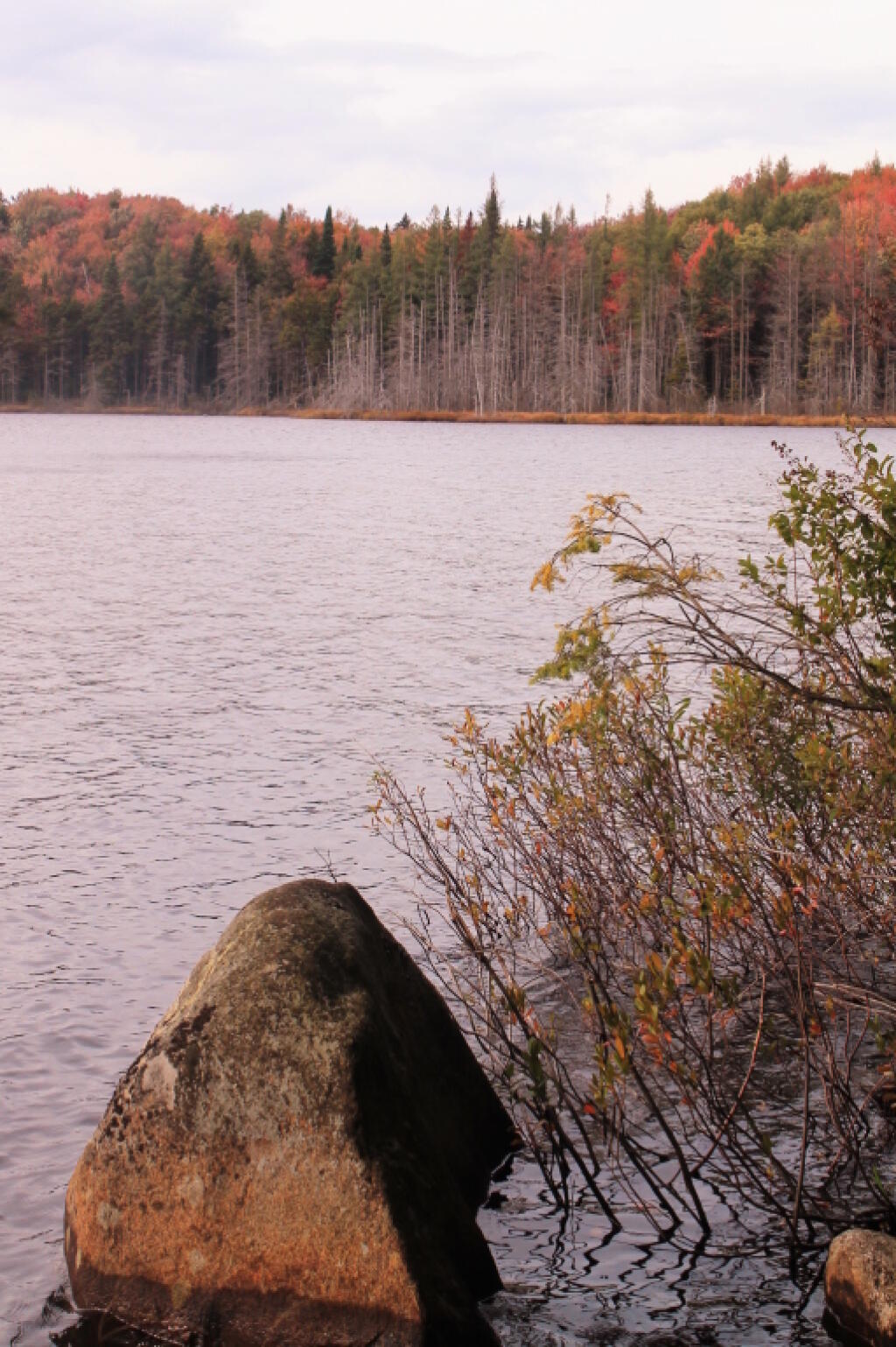
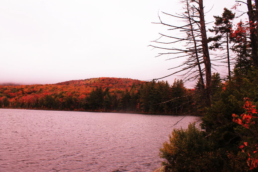
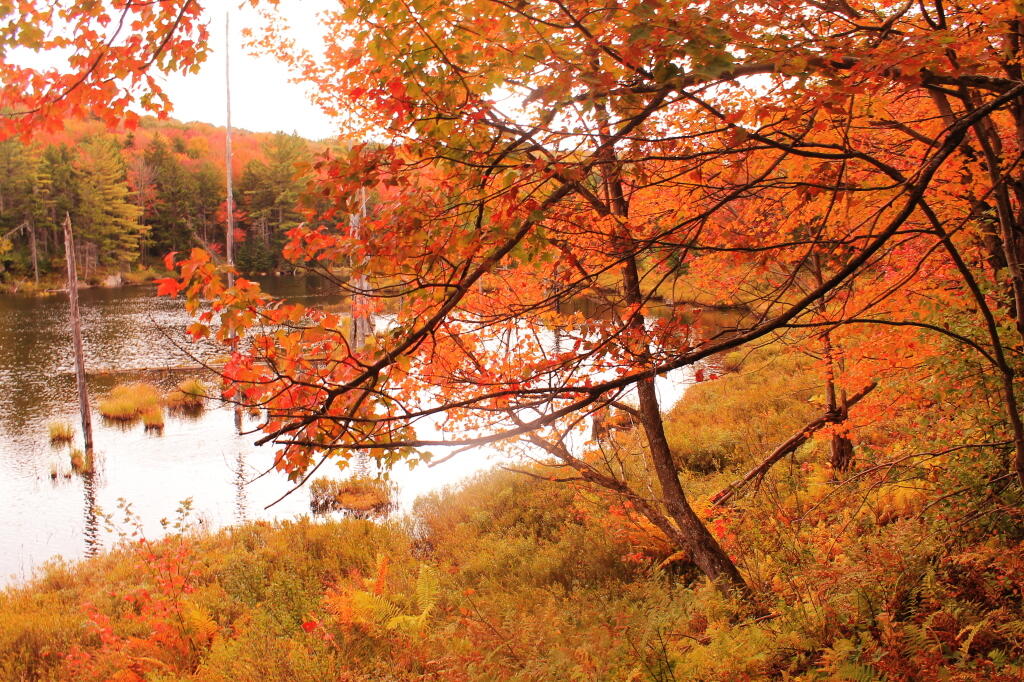
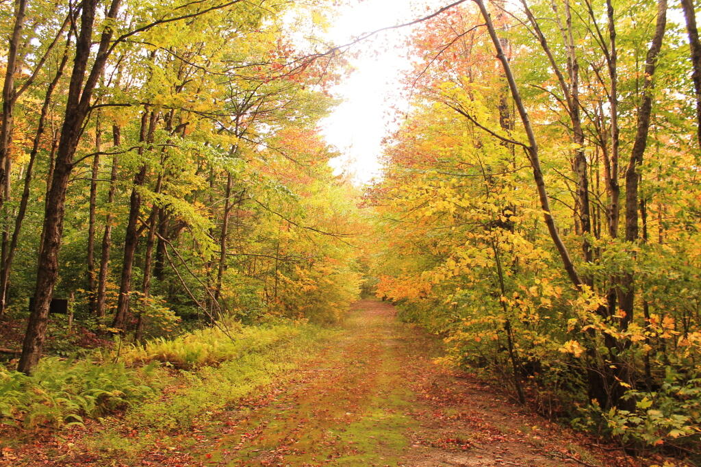
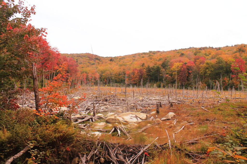
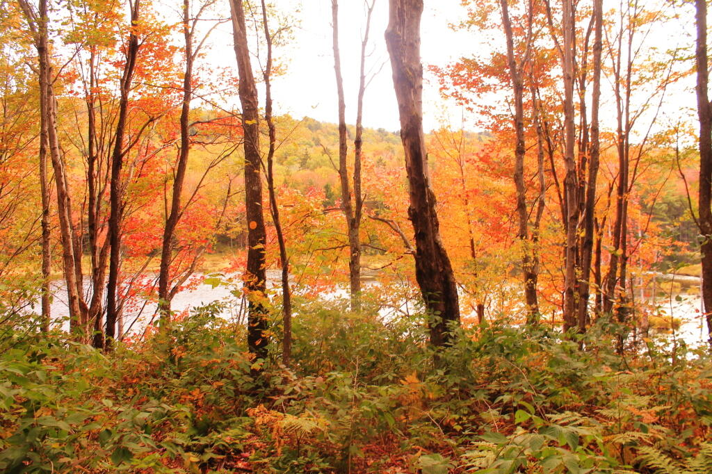
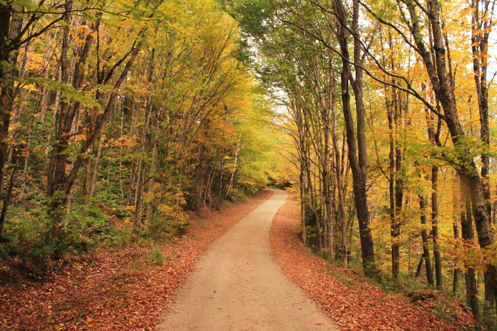
Muskrat Pond In Fall 🖼️
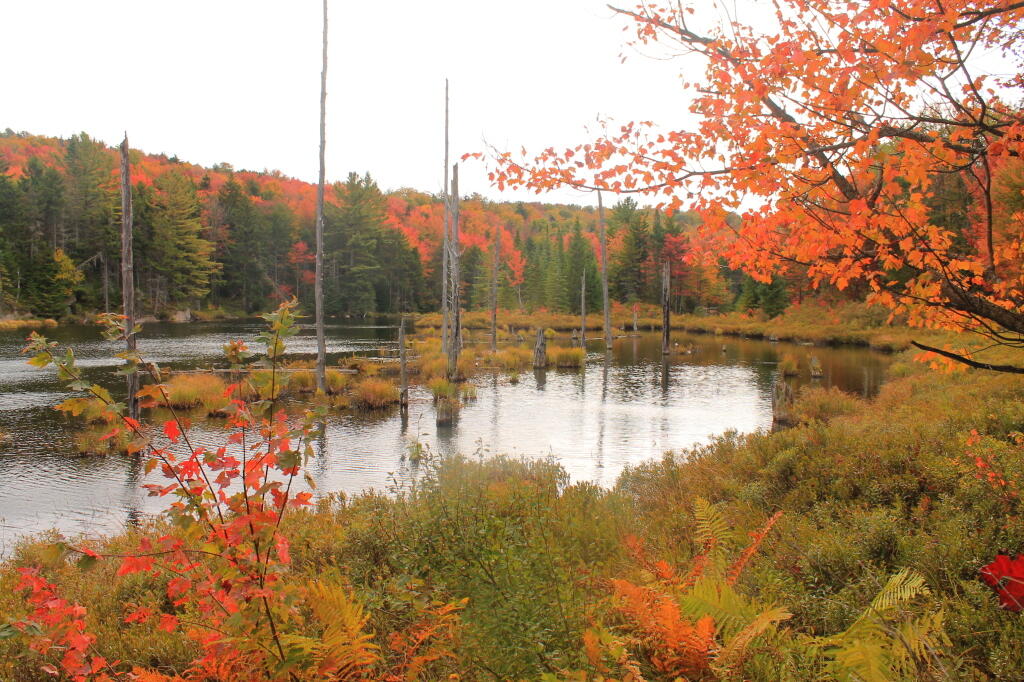
Download a JPEG Image of the Muskrat Pond In Fall.
Muskrat Pond In Fall ...
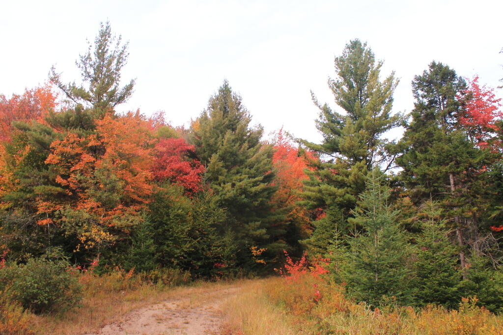
Taken on Thursday September 26, 2013 at Indian Lake.

More about Indian Lake...
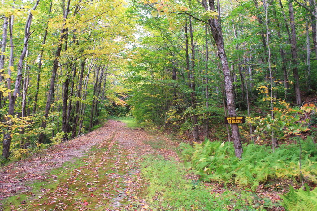
Indian Lake (82 acres) is located at the end of the recently closed Indian Lake Road. It's now a 2.5 mile hike back to lake, due to the road closure.
It was a productive fishery that became fishless due to acid deposition. The lake is becoming less acidic in recent years, but still has trouble sustaining fish, with a ph of 5.3.