Indian Lake 📍

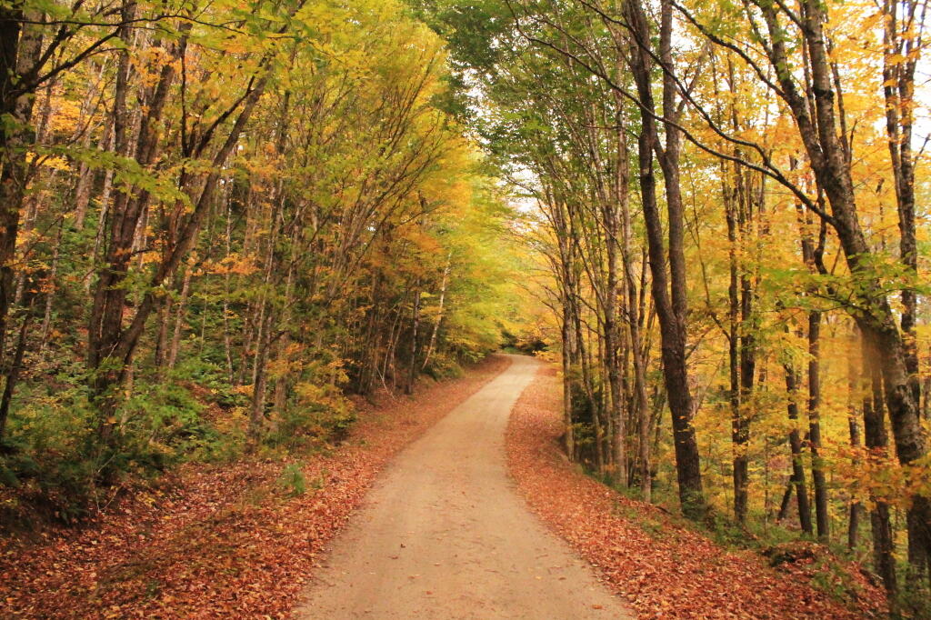
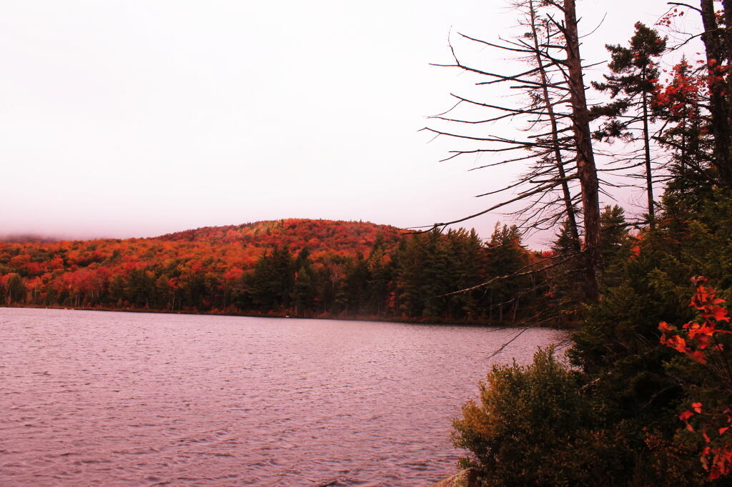
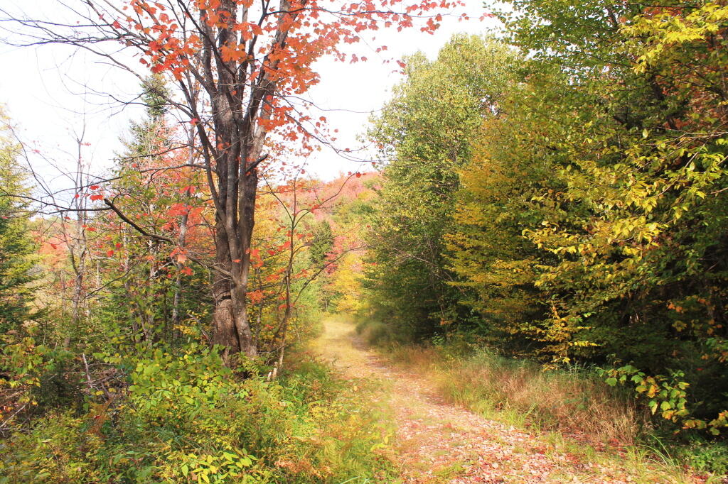
Indian Lake (82 acres) is located at the end of the recently closed Indian Lake Road. It’s now a 2.5 mile hike back to lake, due to the road closure.

It was a productive fishery that became fishless due to acid deposition. The lake is becoming less acidic in recent years, but still has trouble sustaining fish, with a ph of 5.3.

🗺️ Maps 🖼️ Photos
Map: Belfry Mountain Firetower

Indian Lake

This map shows the Indian Lake Trail from Squaw Lake, past Muskrat Lake to Indian Lake at Moose River Plains. The old Indian Lake Road terminates about a 1/4 mile before Squaw Lake pursuant to a compromised implemented under the demands of the wilderness activists.
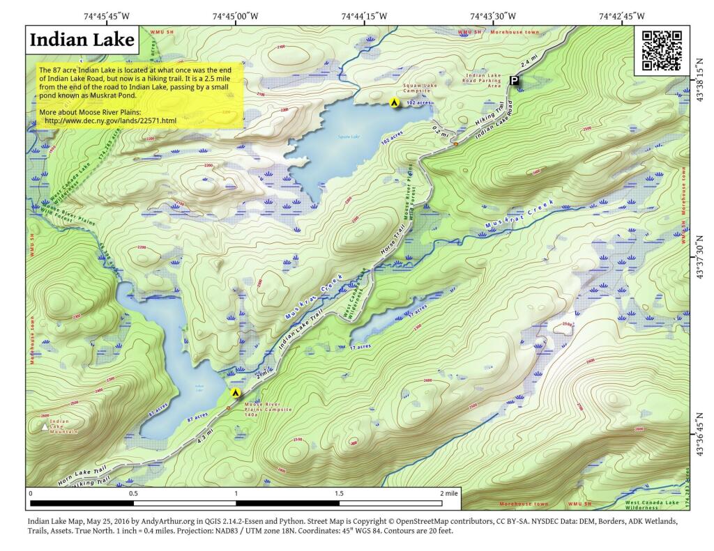
 Indian Lake

Map: Ohisa State Forest
Map: Battery Diagram
SVGZ Graphic: Most Similiar Land Cover to Albany County
Map: Shindagin Hollow State Forest Ortho