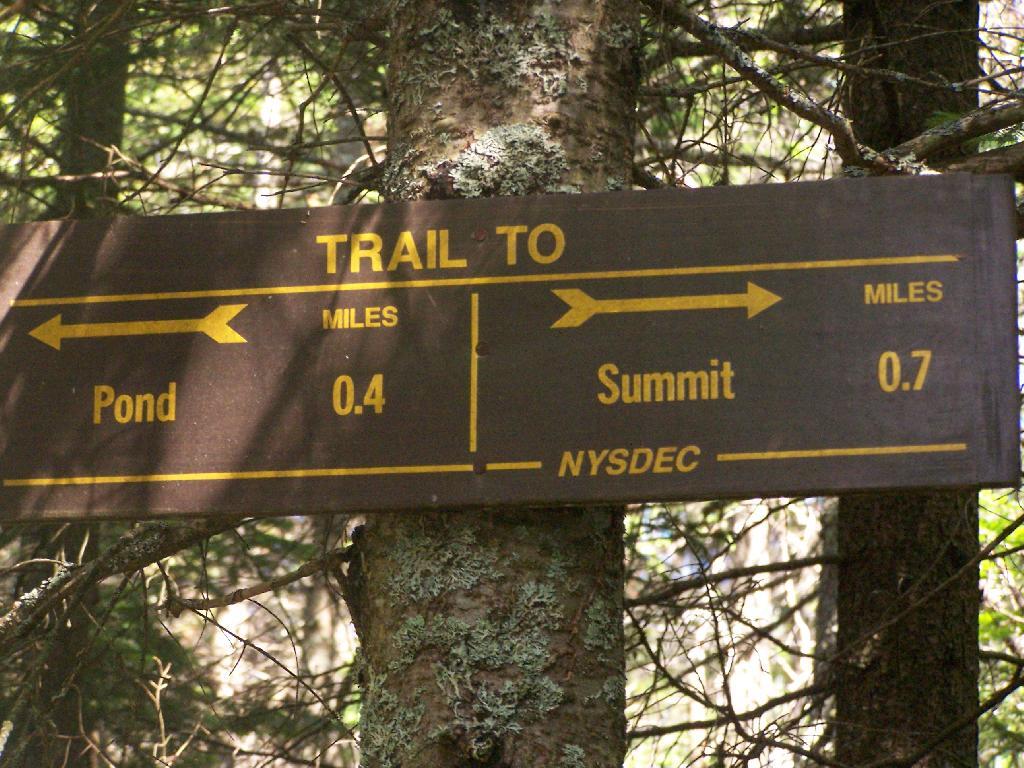
Trail Splits 🖼️
Download a JPEG Image of the Trail Splits.
Trail Splits ...
You can choose from here to go up the rest of the way to the summit or jump directly to Crain Mountain Pond. This route is better then the alternative route from the parking lot to Crain Mountain Road, which has steeper slopes (not that this route is flat), and longer.
Taken on Sunday July 5, 2009 at Crane Mountain.

More about Crane Mountain...
Crane Mountain is in the Central Adirondacks in Wilcox Lake Wild Forest near Wevertown in Warren County. There are over five miles of marked hiking trails on the 3254 foot mountain. There are many spectacular views from the open areas on the mountain, making this a very popular hike. There is an elevation gain of over 1300 feet. There are very steep sections on this short hike, but this tough hike is worth the view.
http://www.cnyhiking.com/CraneMountain.htm
http://www.adirondack.net/business/crane-mountain-11204/


