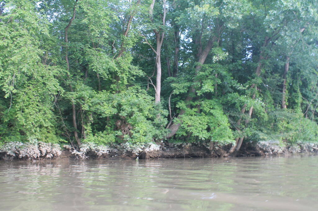
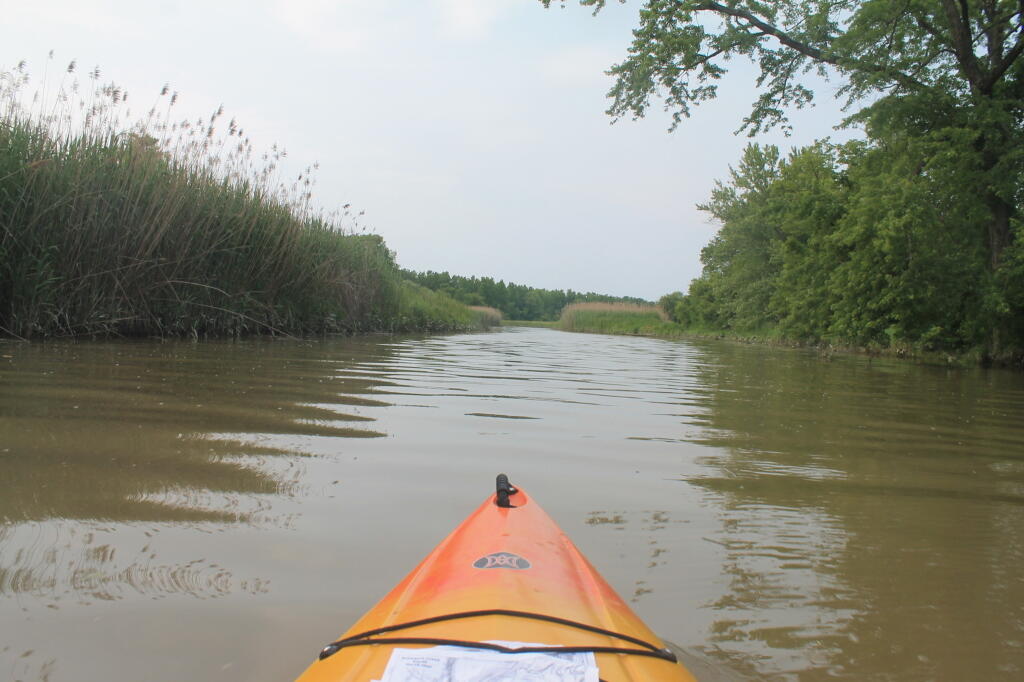
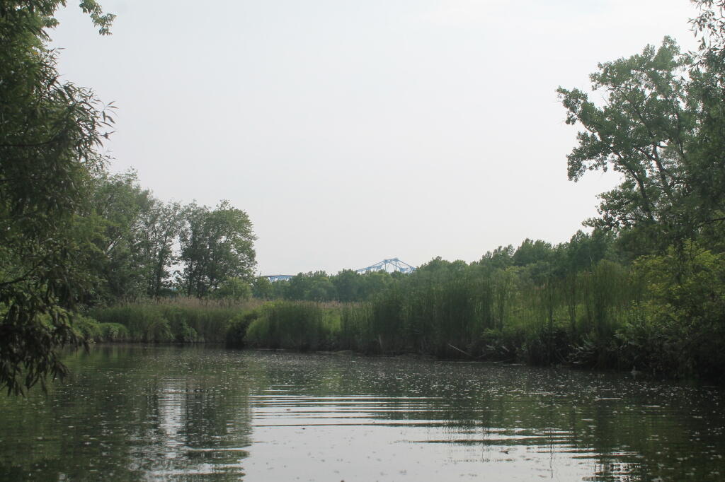
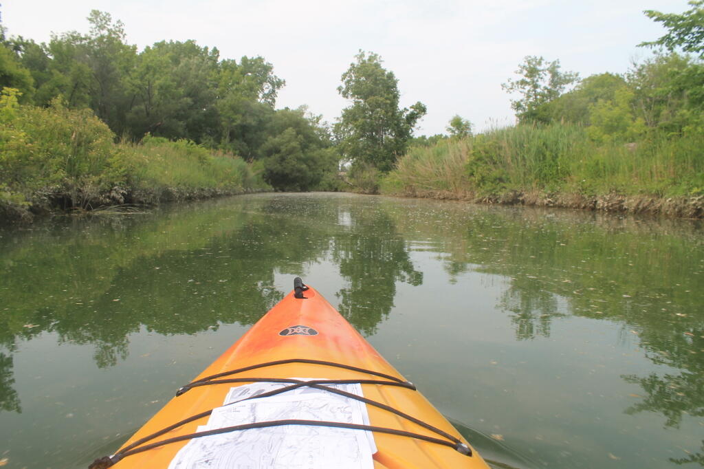
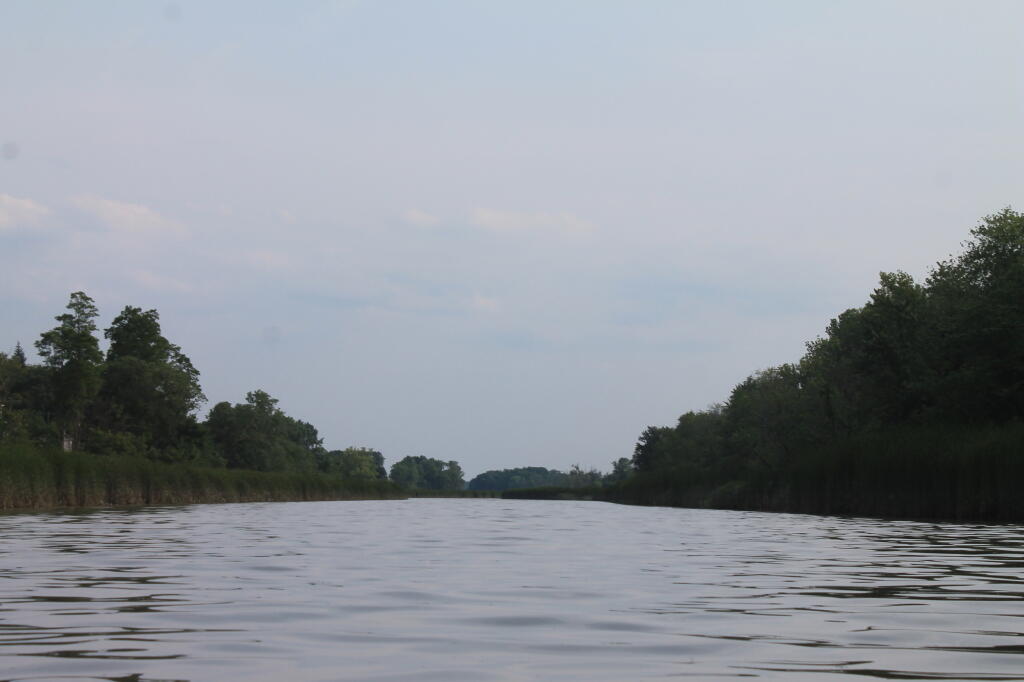
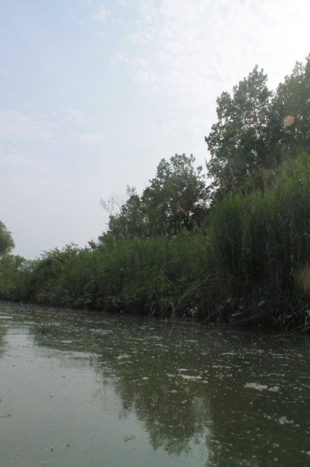
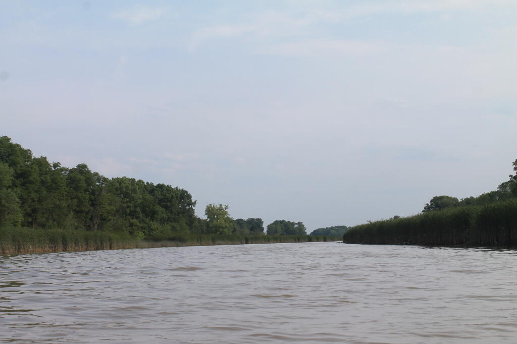
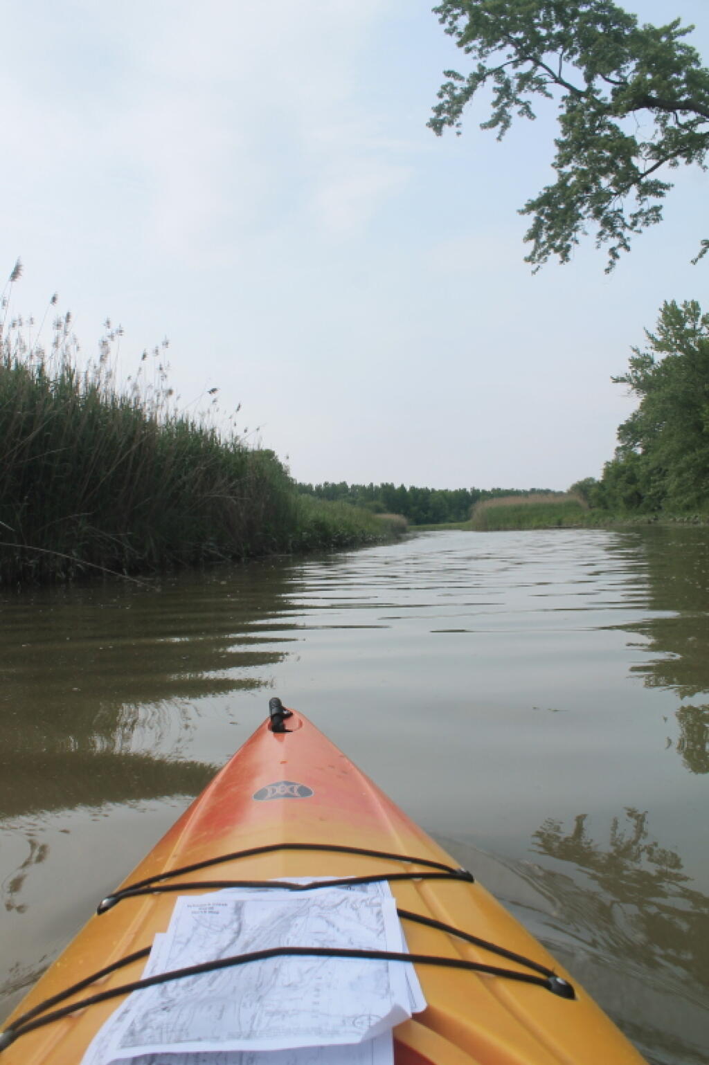
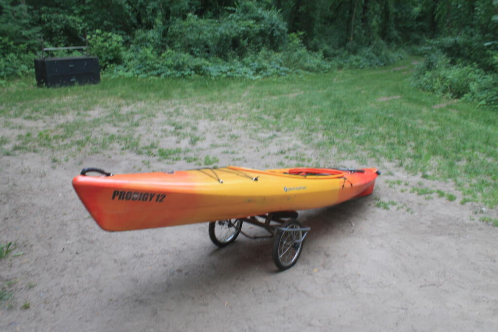
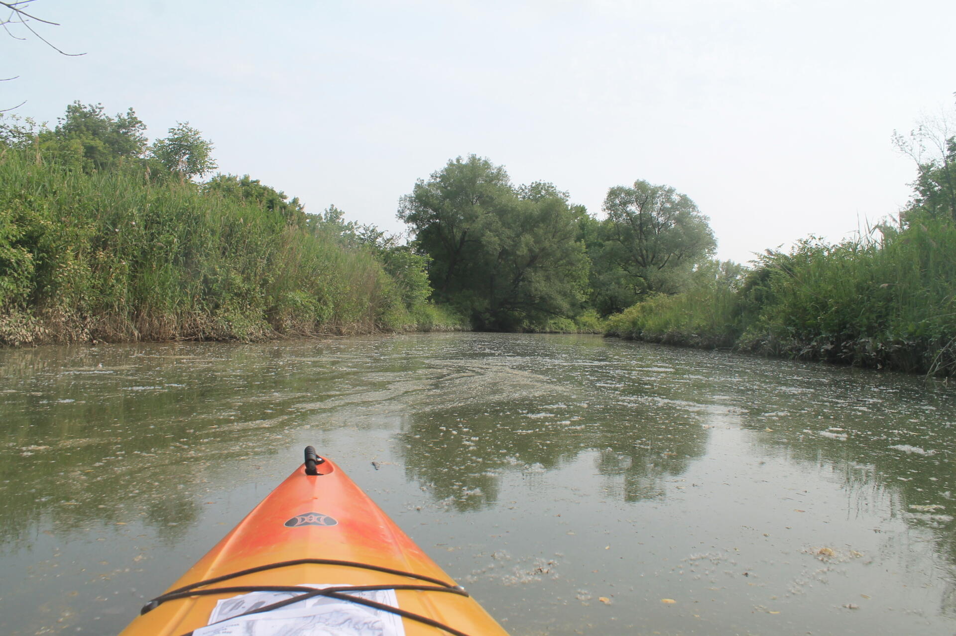
Paddling through the Algea 🖼️
Download a High Resolution JPEG Image of the Paddling through the Algea or an Adobe Acrobat Printable PDF of the Paddling through the Algea.
Paddling through the Algea ...
Taken on Saturday June 22, 2013 at Schodack Creek.

More about Schodack Creek...
Offering paddling for several miles along the Hudson River, area turns to mud-flats in low tide, and a muddy brown that is paddle-able in high tide.