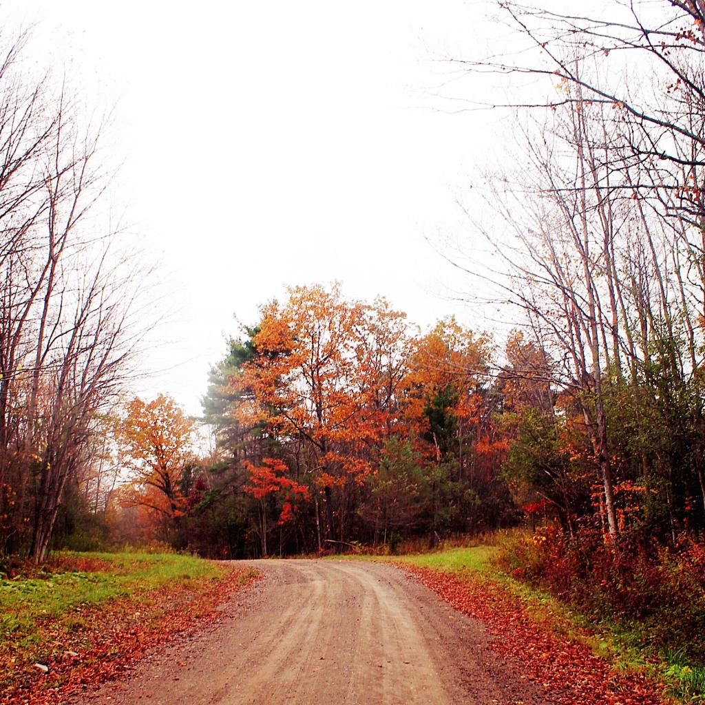
Worse thing about wilderness camping is learning about people’s deaths when you leave the wilderness ⚰️
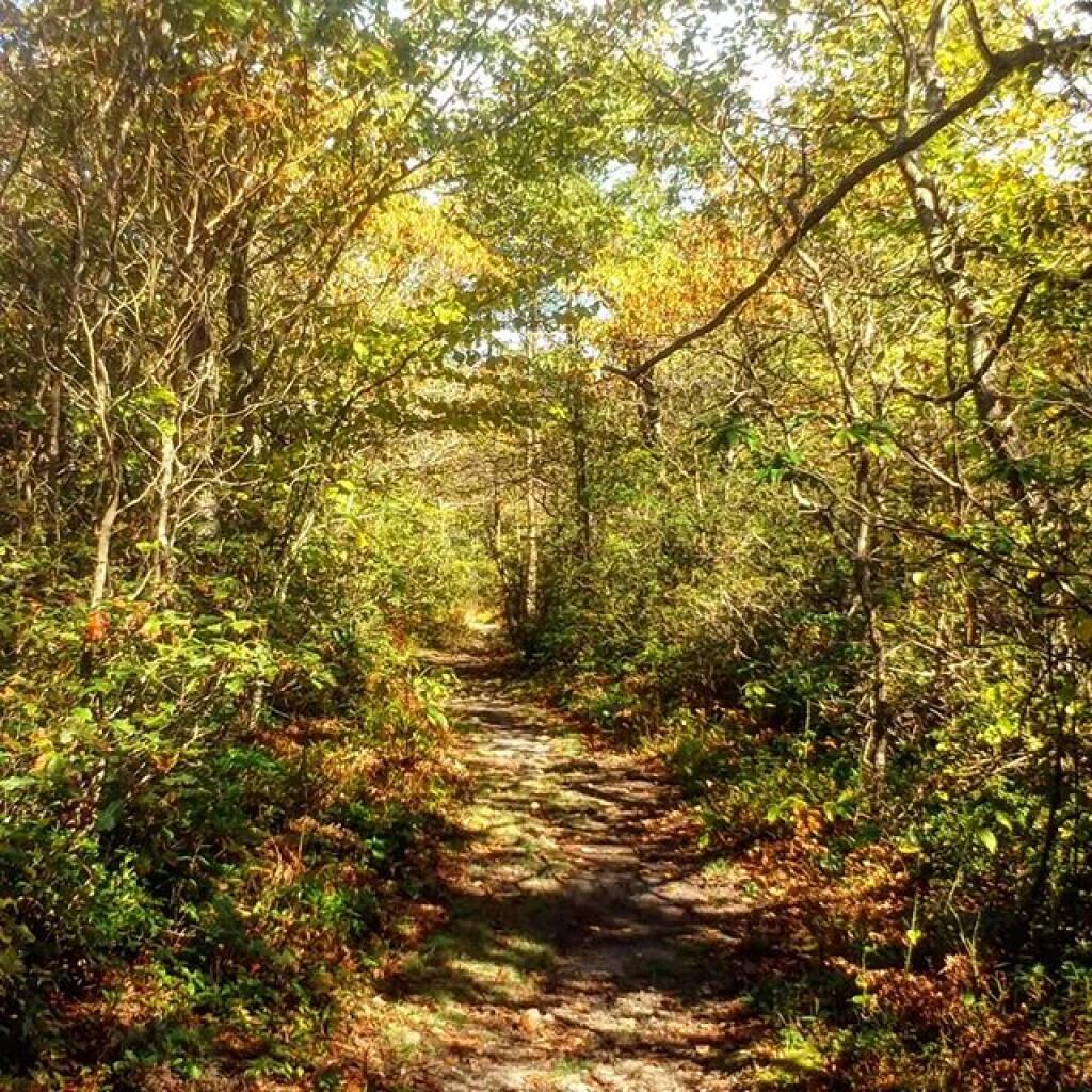
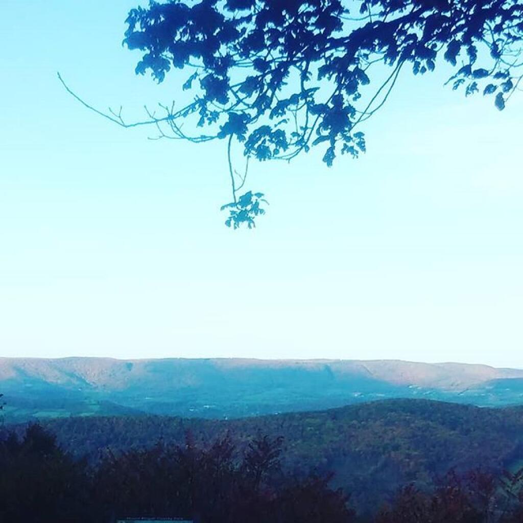
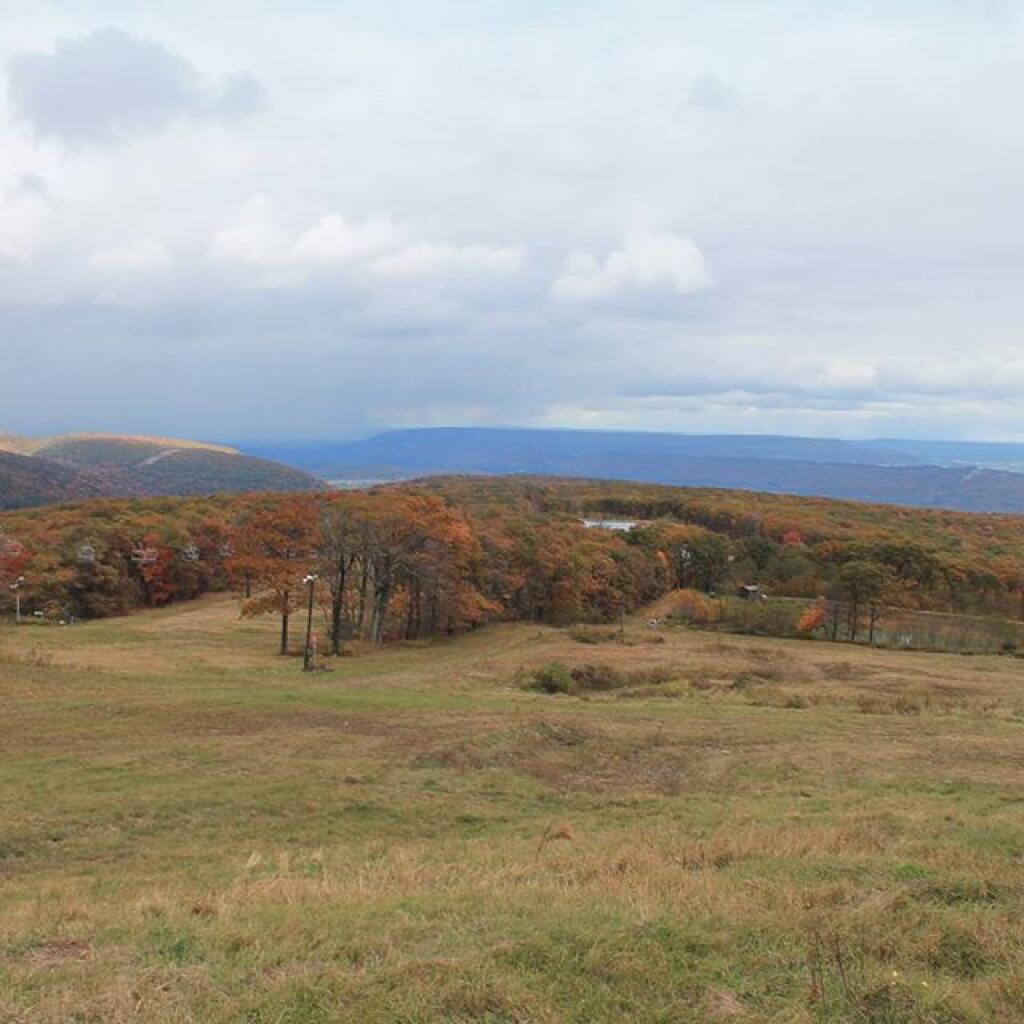
I do a fair amount of wilderness camping these days in places without cell service. In recent years since my radio broke, I don’t even keep up with the news from the wilderness. Calls, emails, texts about a friend or a love one’s hospitalization or passing go unanswered.
You don’t know how many times I’ve left the wilderness only to find texts and voicemail on such topic – often in a tone of like how didn’t you know – it happened five days ago. Yet the wilderness doesn’t share such secrets of urban society with me until I return to the series of beeps and chimes as my phone returns into cell service area. It’s tragic to find out days late in such a way but so is the nature of being disconnected from urban society in the wilderness.