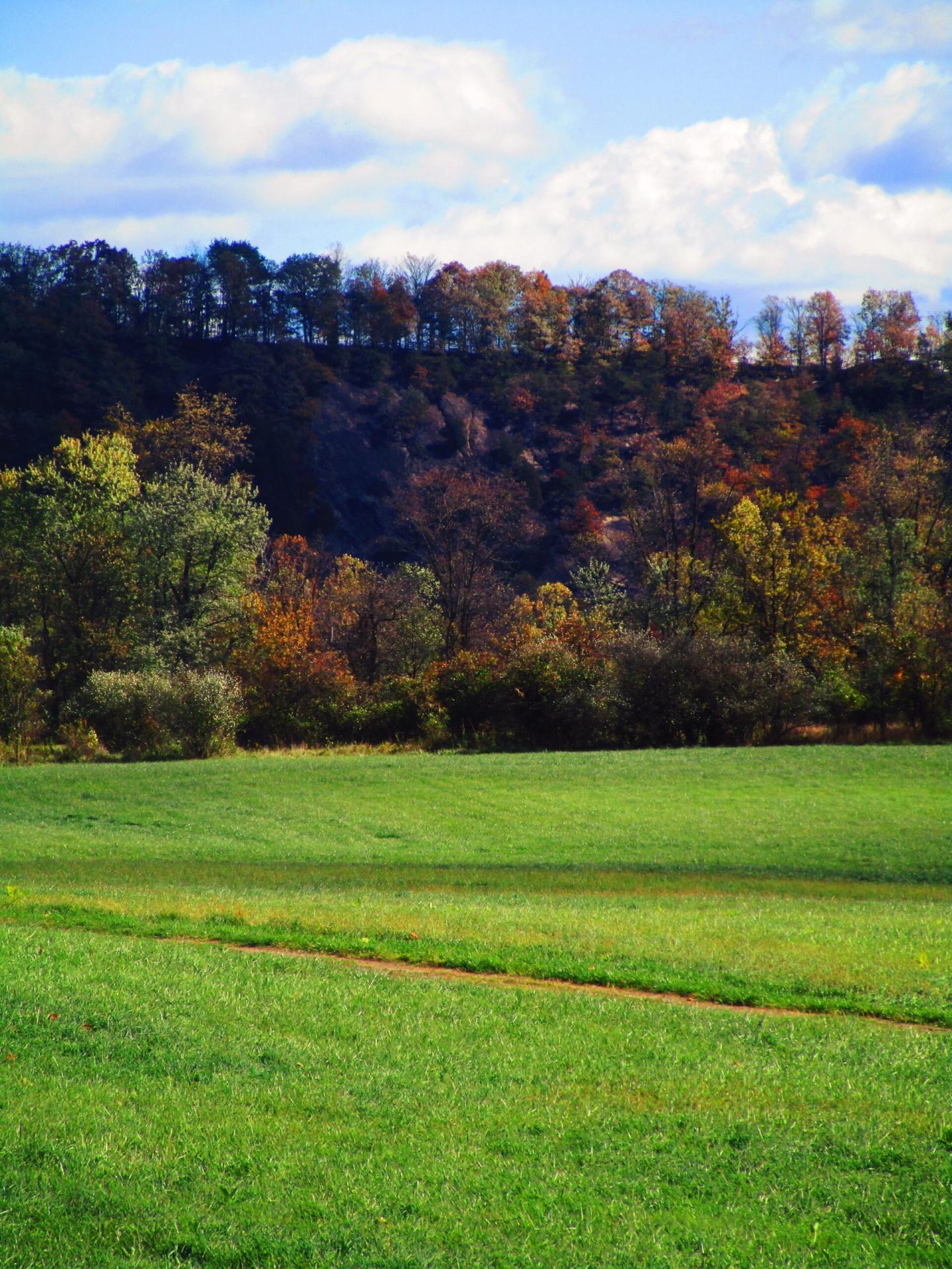
Cliff Along the Potomac 🖼️
Download a High Resolution JPEG Image of the Cliff Along the Potomac or an Adobe Acrobat Printable PDF of the Cliff Along the Potomac.
Cliff Along the Potomac ...
I was trying to figure out if the steep cliffs here were from GOB piles from coal mining but I think it's just where the Potomac River has worn against the steep cliffs over the years.
Taken on Sunday October 22, 2023 at C&O Canal Towpath.
More about C&O Canal Towpath...
The C&O Canal Towpath is a rugged 184.5-mile trail that follows the course of the C&O Canal. This trail allows people to stroll, jog, or cycle between Georgetown and Cumberland, Maryland. Initially constructed for the mules that towed canal boats along the waterway, it has evolved into a well-liked recreational path for modern-day outdoor enthusiasts.


No Comments
Hi Andy, long time reader…first time replier. I’m not exactly sure where you took the picture of the cliff above the Potomac River, but I suspect it is part of the ‘Atlantic Seaboard Fall Line, …, a 900-mile escarpment where the Piedmont and Atlantic coastal plain meet in the eastern United States.’ I think it runs from New York to Alabama and has had an interesting impact on the founding and development of America. Dozens of interesting (once great big and small industrial) cities formed along it. Check out this Wikipedia article…if you’re into this type of info…
Enjoy your blog posts and map info! Please keep up the great work.
Cheers,
Bob
https://en.wikipedia.org/wiki/Atlantic_Seaboard_Fall_Line
Interesting! Thanks for sharing. I will take a look.