Along Old Partridge Run Road 🖼️
Download a High Resolution JPEG Image of the Along Old Partridge Run Road or an Adobe Acrobat Printable PDF of the Along Old Partridge Run Road.
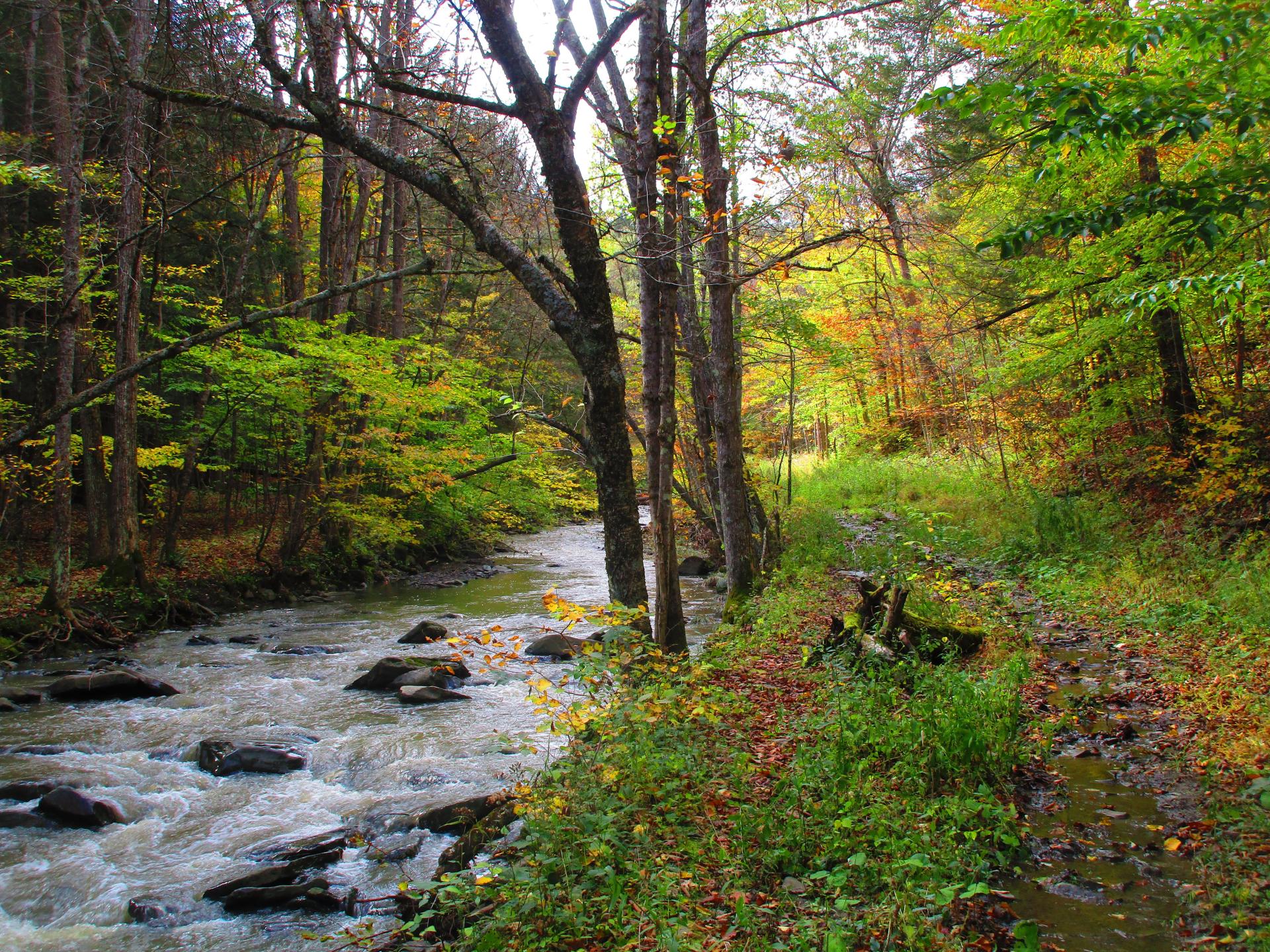
Along Old Partridge Run Road ...
Hard to imagine a little over a decade ago you could drive this road, and indeed I spent many a nice summer afternoon parked along this road, reading with my feet in the creek. Now you can walk it or as I did today, ride a mountain bike on it, which probably isn't legal because it's no longer a road but I doubt anyone cares.
Taken on Monday October 9, 2023 at Partridge Run Game Management Area.

More about Partridge Run Game Management Area...
Partridge Run Wildlife Management Area (WMA) consists of about 4500 acres of upland and wetland habitat in Albany County. It is located in the Town of Berne. The majority of the current WMA was transferred to the New York State in 1962 by the federal government. The WMA can be access from County Rt. 13, County Rt. 6 and a number of town roads. Numerous parking areas are located throughout the WMA. This parcel of public land affords multiple uses for outdoor recreation including hunting, trapping, fishing, birding, hiking, snowmobiling, skiing, and horseback riding.
http://www.dec.ny.gov/outdoor/86068.html


