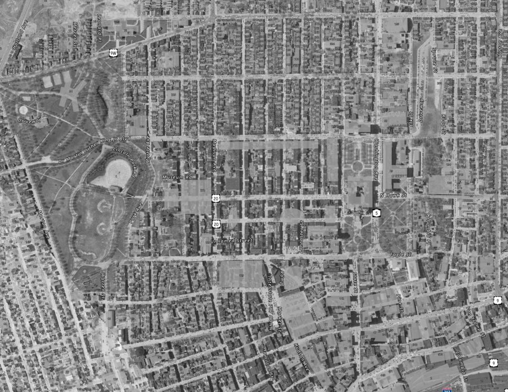
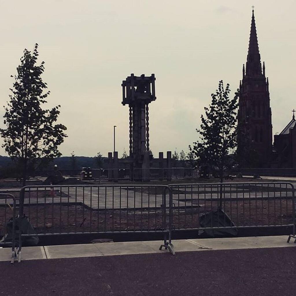
Empire State Plaza vs State Office Campus, a size comparison 🗺️
Helpful Hint: While I suggest you look on blog for a downloadable PDF Map, you should be able to print or save this map by clicking the print button on the map above.
Data Sources
Road Trip to Coal Country by Nate Matthews - You can download the KMZ File used in creation of this map.
NY Aerial (2020) - High-resolution aerial photography from NYSGIS, photos taken with leaves off in spring time between the years 2016-2020. NYSGIS. WMS Service: https://orthos.its.ny.gov/ArcGIS/services/wms/Latest/MapServer/WMSServer, Layer: 0,1,2,3
3DEP Elevation Hillshade. LIDAR and legacy USGS DRG Topo Derived hillshades used as a background. DEM - WMS Service: https://elevation.nationalmap.gov/arcgis/services/3DEPElevation/ImageServer/WMSServer, Layer: 3DEPElevation:Hillshade Gray
Full List of WMS and ArcMap Services - CSV Spreadsheet with all web map services currently used on the blog.
More about Empire State Plaza...
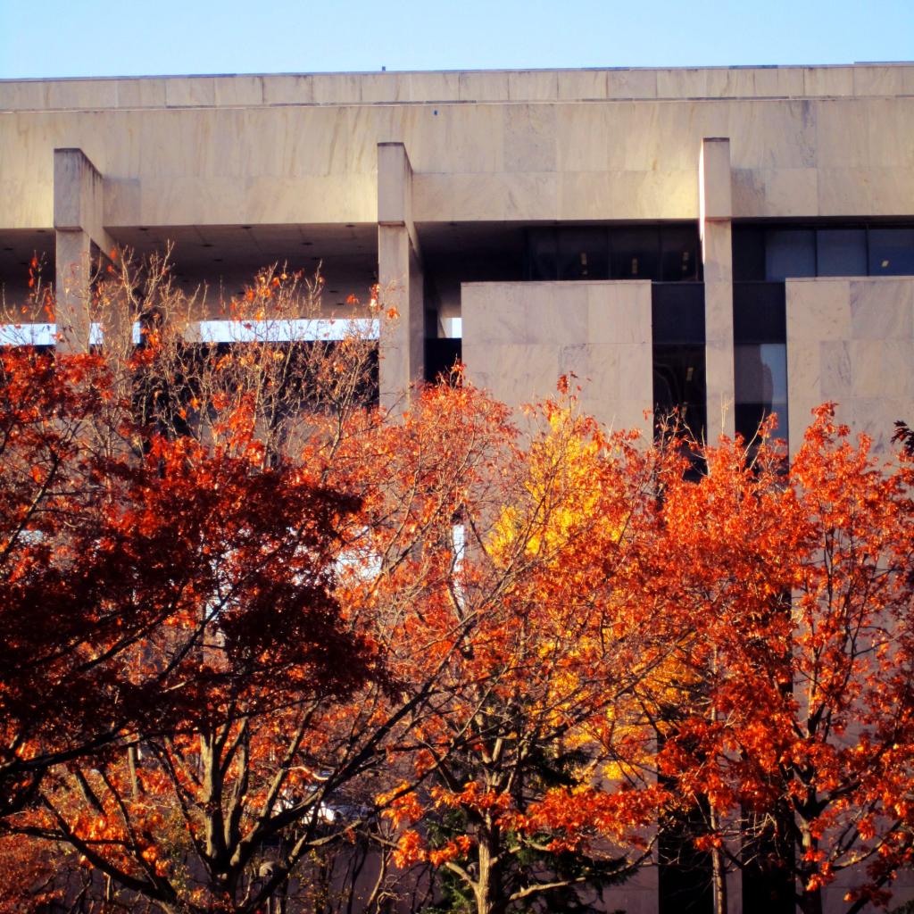
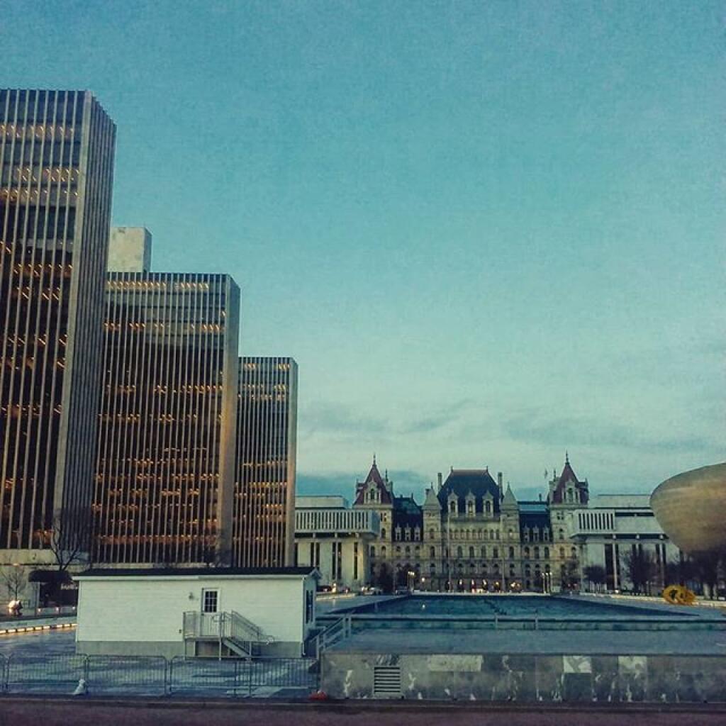
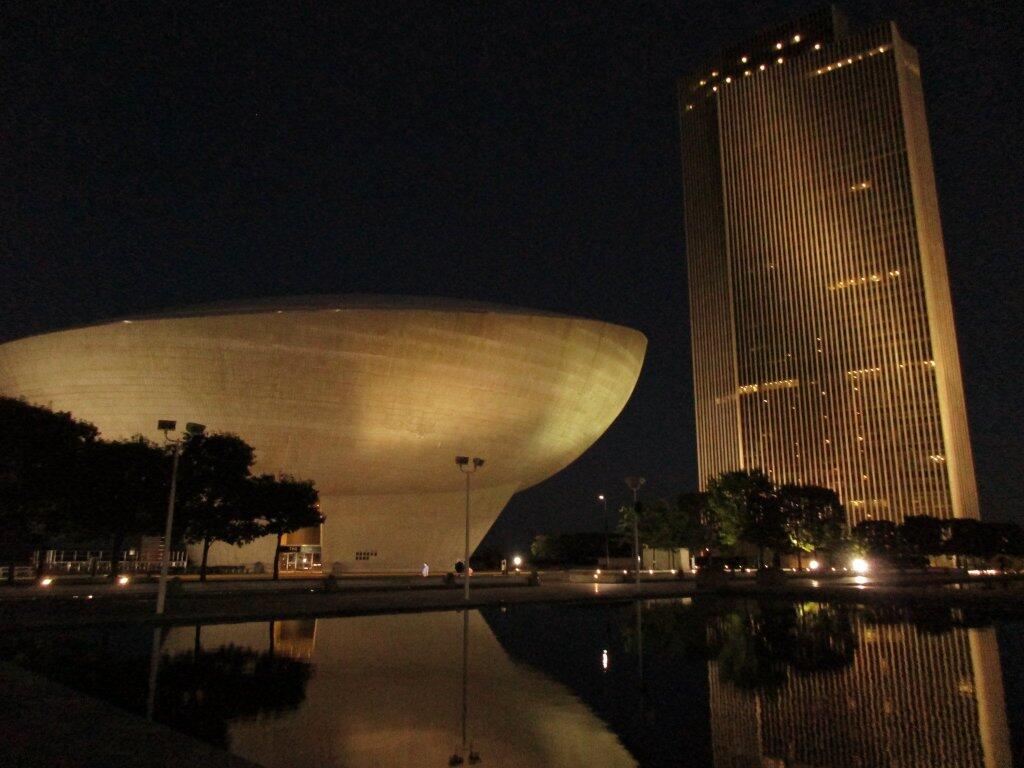
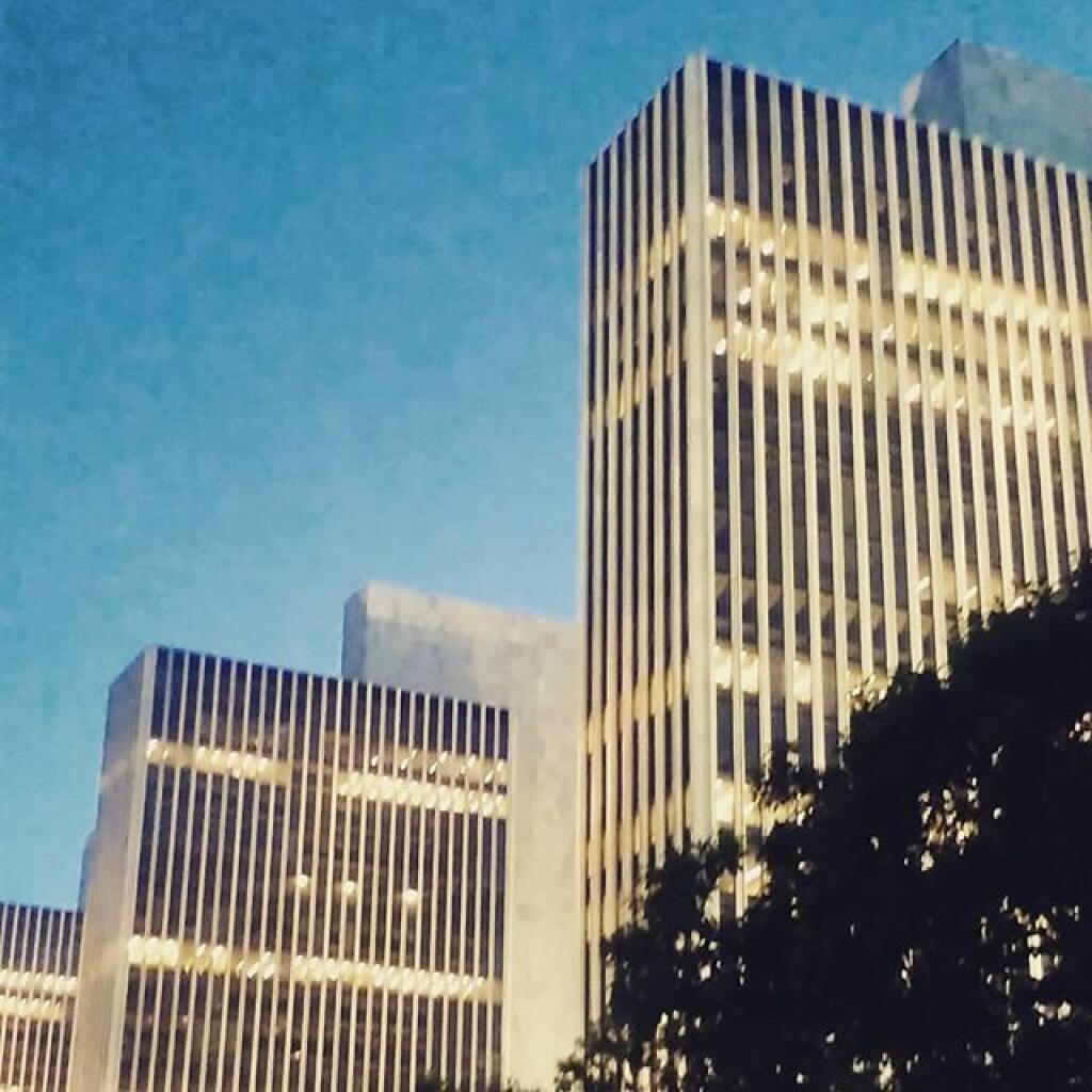
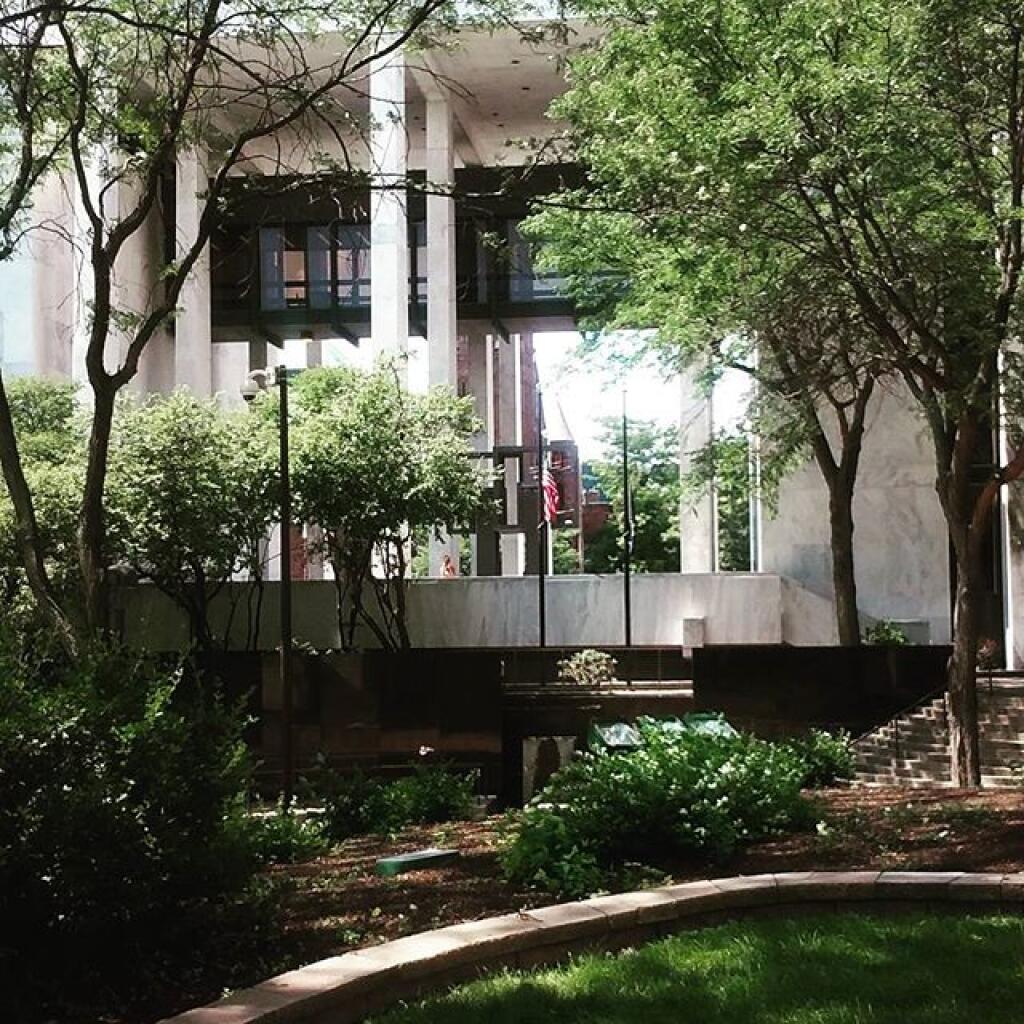
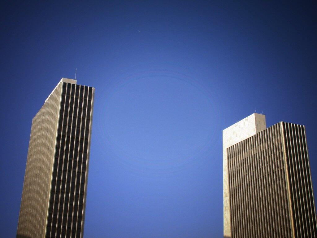
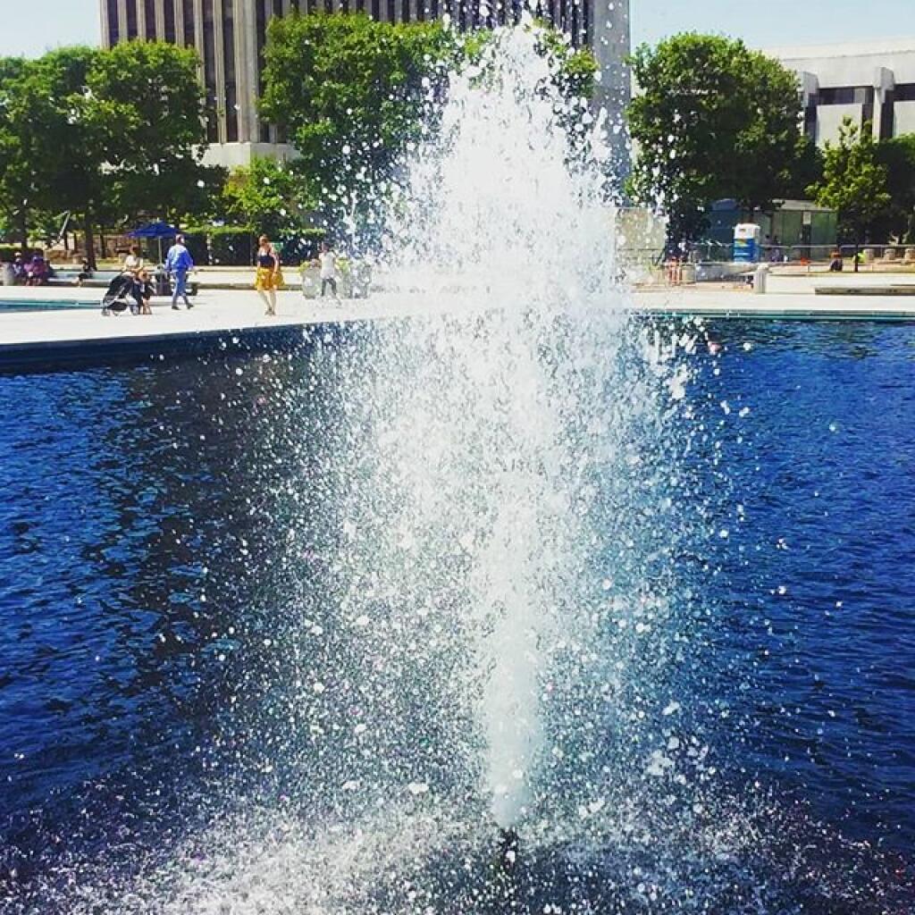
The Governor Nelson A. Rockefeller Empire State Plaza is a unique architectural masterpiece which houses 11,000 New York employees in a complex of ten buildings. The Plaza offers a world-class modern art collection, New York State's Museum, Library and Archives, a distinctive performing arts center, convention center and more. It serves as a monument to the diversity and significance of New York, and also as a testament to Governor Nelson A. Rockefeller, whose determination and vision brought about its creation.