Dewey Loefell Landfill 🗺️
About Dewey Loefell Landfill ....
The Dewey Loeffel Landfill Superfund site is located in Rensselaer County, New York. In the 1950s and 1960s, site was used as a disposal facility for more than 46,000 tons of industrial hazardous wastes, including solvents, waste oils, polychlorinated biphenyls (PCBs), scrap materials, sludges and solids.
The Dewey Loeffel Landfill Site includes the inactive hazardous waste disposal area, a/k/a the landfill, and all areas to which contamination has migrated including groundwater, soil, sediment and surface water bodies. The approximately 19-acre waste disposal area is located four miles northeast of the Village of Nassau, within a low-lying area between two wooded hills. Formerly, the site was used as a dump for hazardous waste generated by several companies including General Electric (GE), Bendix Corporation (now Honeywell) and Schenectady Chemicals (now SI Group). The waste materials were dumped into a lagoon area, oil pit and drum burial area.
The New York State Department of Environmental Conservation (NYSDEC) has estimated that between 1952 and 1968 a total of 46,320 tons of waste materials were disposed at the landfill. The waste materials included industrial solvents, waste oils, polychlorinated biphenyls (PCBs), scrap materials, sludges and solids.

Helpful Hint: While I suggest you look on blog for a downloadable PDF Map, you should be able to print or save this map by clicking the print button on the map above.
Data Sources
Road Trip to Coal Country by Nate Matthews - You can download the KMZ File used in creation of this map.
NY Aerial (2020) - High-resolution aerial photography from NYSGIS, photos taken with leaves off in spring time between the years 2016-2020. NYSGIS. WMS Service: https://orthos.its.ny.gov/ArcGIS/services/wms/Latest/MapServer/WMSServer, Layer: 0,1,2,3
3DEP Elevation Hillshade. LIDAR and legacy USGS DRG Topo Derived hillshades used as a background. DEM - WMS Service: https://elevation.nationalmap.gov/arcgis/services/3DEPElevation/ImageServer/WMSServer, Layer: 3DEPElevation:Hillshade Gray
Full List of WMS and ArcMap Services - CSV Spreadsheet with all web map services currently used on the blog.
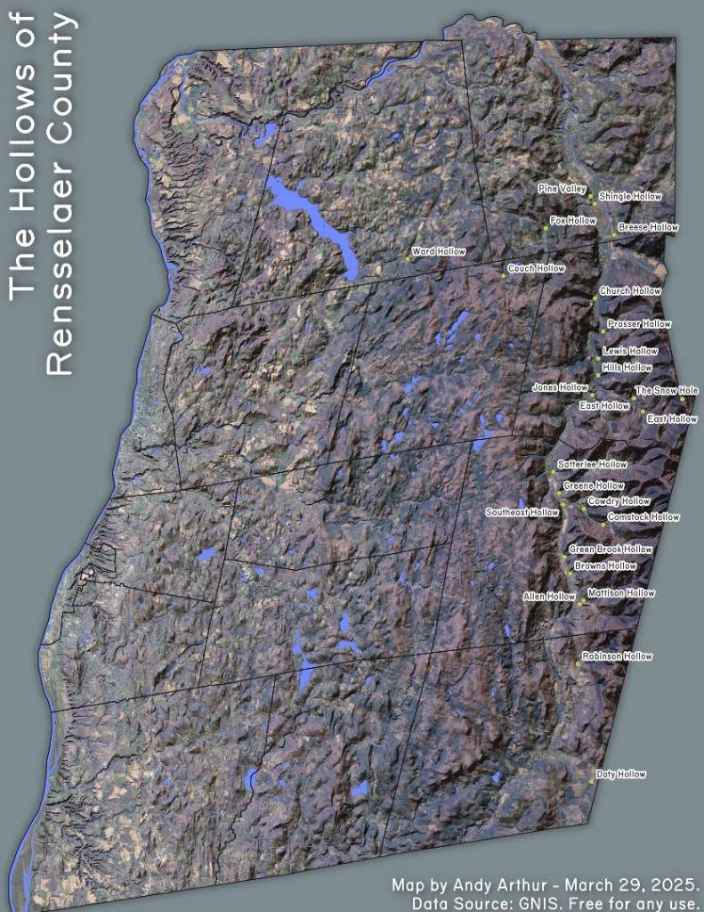
More about Rensselear County...
Rensselaer County is a county in the U.S. state of New York. As of the 2010 census, the population was 159,429. Its county seat is Troy. It is part of the Albany-Schenectady-Troy Metropolitan Statistical Area.
Rensselaer County is in the eastern part of New York State. The eastern boundary of Rensselaer County runs along the New York–Vermont and New York–Massachusetts borders.
The terrain runs from level and flat near the Hudson and then rises into the Rensselaer Plateau around Poestenkill and Sand Lake, then to the Taconic Mountains along the Massachusetts state line.
The highest point is Berlin Mountain, 2,818 feet (859 m) above sea level, in the town of Berlin. The lowest point is sea level at the Hudson.
The Hoosic River, a tributary of the Hudson River, is in the north part of the county.
http://en.wikipedia.org/wiki/Rensselaer_County,_New_York