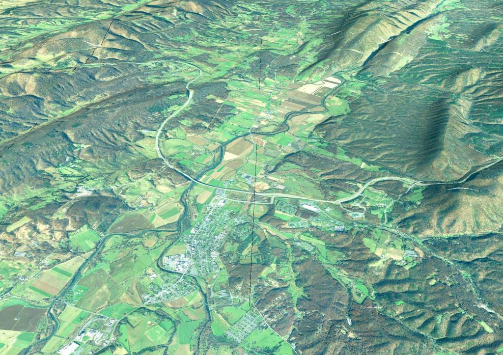
Terrain Map: Moorefield, West Virginia
Download a High Resolution JPEG Image of the Terrain Moorefield, West Virginia or an Adobe Acrobat Printable PDF of the Terrain Moorefield, West Virginia.
About Moorefield, West Virginia ....
Corridor "H" is the highway prominently shown in the center. It is an elevated highway through the valley. Pilgrim's Pride slaughterhouse is seen in the lower left corner, they process birds grown at farms along the Sweedlin Valley and some of the other agricultural areas in valleys. The river in the center is the Potomac River.
More about Moorefield, WV...
Moorefield is a town in Hardy County, West Virginia, USA. Moorefield is the county seat of Hardy County. It was originally chartered in 1777 and named for Conrad Moore, who owned the land upon which the town was laid out.
https://en.wikipedia.org/wiki/Moorefield,_West_Virginia
Maps and Interactives
Pilgrims Pride Chicken 🐔 Plant
Moorefield, West Virginia
Moorefield WV
... photos, maps and other content from from Moorefield, WV.
