Partridge Run WMA And SF Tree Cover
About Partridge Run WMA And SF Tree Cover ....
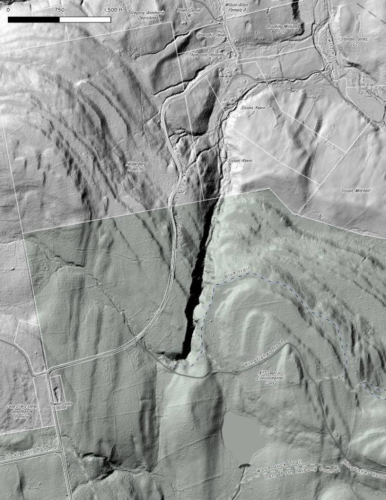
The DEC has mapping of tree cover on state forests across the state. This detailed shows what types of trees are most prominent in each part of the state forest at Partridge Run WMA and State Forest. This is handy for planning out a hunting trip up there.
Data Source: NYS GIS Clearinghouse - NYS Dept. of Environmental Conservation (DEC) - DEC State Land Forest Stands. https://gis.ny.gov/gisdata/inventories/details.cfm?DSID=1356
Helpful Hint: While I suggest you look on blog for a downloadable PDF Map, you should be able to print or save this map by clicking the print button on the map above.
Data Sources
Partridge Run WMA And SF Tree Cover - You can download the KMZ File used in creation of this map.
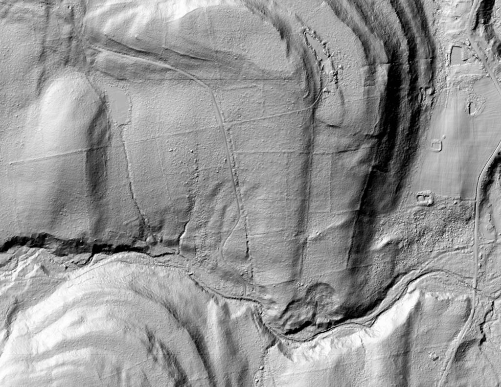
3DEP Elevation Hillshade. LIDAR and legacy USGS DRG Topo Derived hillshades used as a background. DEM - WMS Service: https://elevation.nationalmap.gov/arcgis/services/3DEPElevation/ImageServer/WMSServer, Layer: 3DEPElevation:Hillshade Gray
Full List of WMS and ArcMap Services - CSV Spreadsheet with all web map services currently used on the blog.
More about Partridge Run Game Management Area...
Partridge Run Wildlife Management Area (WMA) consists of about 4500 acres of upland and wetland habitat in Albany County. It is located in the Town of Berne. The majority of the current WMA was transferred to the New York State in 1962 by the federal government. The WMA can be access from County Rt. 13, County Rt. 6 and a number of town roads. Numerous parking areas are located throughout the WMA. This parcel of public land affords multiple uses for outdoor recreation including hunting, trapping, fishing, birding, hiking, snowmobiling, skiing, and horseback riding.
http://www.dec.ny.gov/outdoor/86068.html