Cross Bronx Expressway in Tremont
Robert Moses' expressway blasted through one of the most dense urban areas in America, with a photo taken at a part of the day, likely a weekend, when traffic was light.

Robert Moses' expressway blasted through one of the most dense urban areas in America, with a photo taken at a part of the day, likely a weekend, when traffic was light.
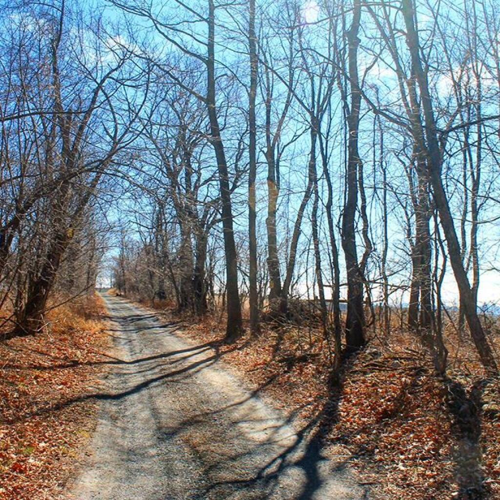
I always find driving the part of the Thruway around Illion to be the most fascinating. It's an interesting mix of geologies as you rise from the end of the Mohawk Valley into the Onieda Lake plains - the mucky farm country with many a swamp and arces of fertile black dirt.

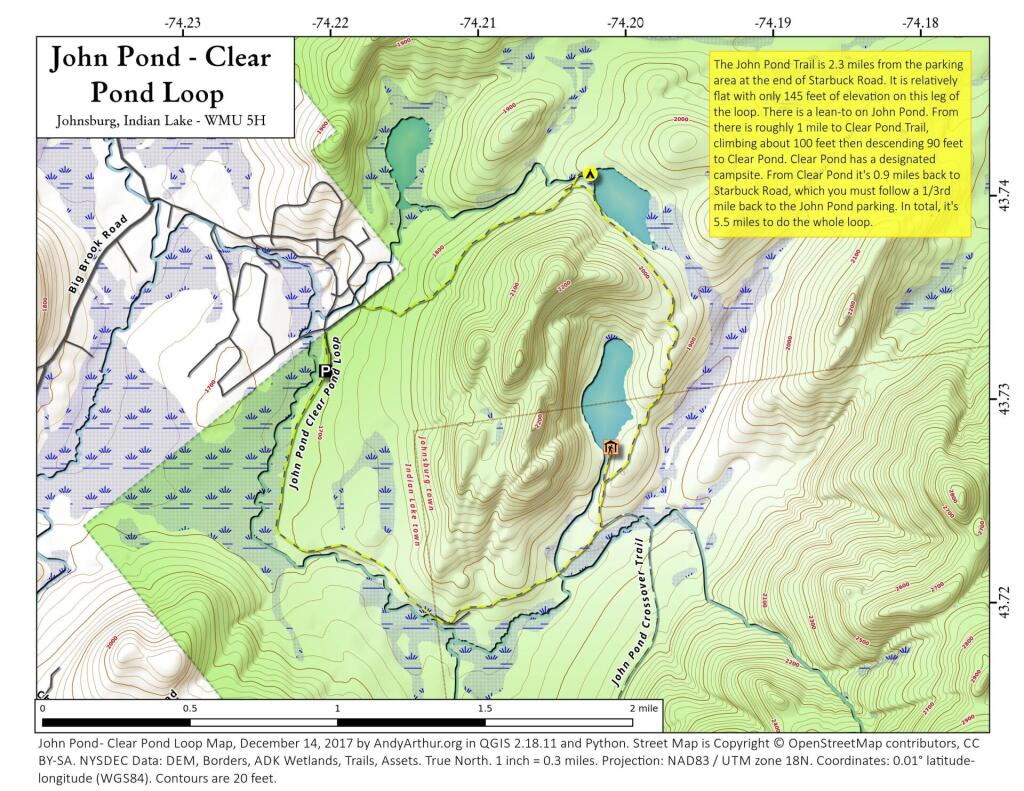
John Pond Trail extends 2.3 miles and ascends 145 feet from the John Pond trailhead to John Pond and a lean-to on the pond. The pond provides a scenic view of the small unnamed mountain that wraps around its shore. Clear Pond Trail extends 0.9 mile from the Clear Pond trailhead to the north end of Clear Pond. The trailhead can be accessed from the John Pond trailhead parking area by walking .35 mile on Starbuck Road. The trail climbs 330 feet for first 0.8 mile from the parking area before descending 90 feet to the pond. John Pond Crossover extends 3.4 miles from the John Pond Trail - 0.4 mile from John Pond - to the West Puffer Pond Trail - 1.5 miles from the King's Flow trailhead. Traveling from the John Pond Trail the trail ascends 365 feet and then descends 100 feet before reaching the West Puffer Pond Trail.