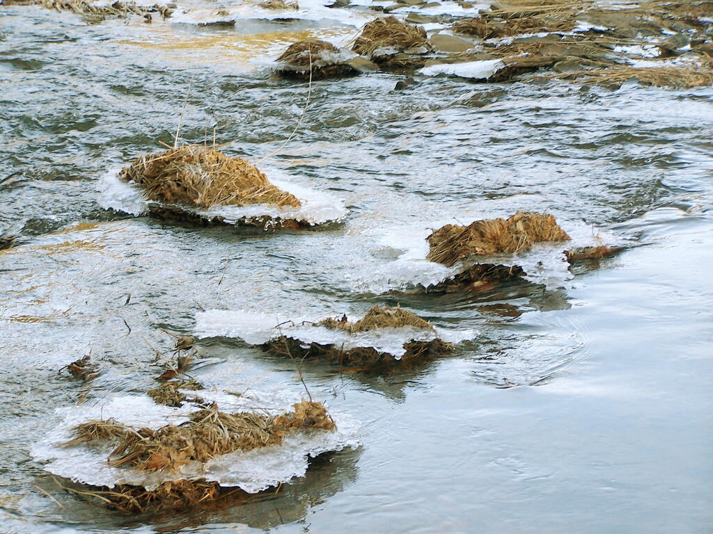
Thawing Ice



I often think of myself as extremely mentally ill for contradicting the conventional wisdom that is not necessarily applicable for my situation. Conventional wisdom, while widespread, is often wrong. Just like the A.I. is often wrong.
When I explain my perspective to the A.I. I am told that my observation for my particular view is “spot-on”. And I mean, can A.I. be wrong, except when I point out to the A.I. that is wrong, and then it reconsiders it’s answer and spits out one I’m more agreeable to.

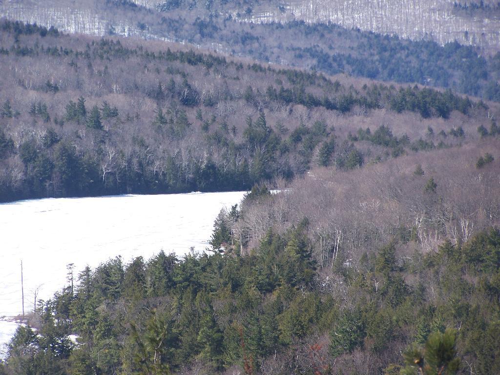

Critical Environmental Areas (CEAs) are areas in the state which have been designated by a local or state agency to recognize a specific geographical area with one or more of the following characteristics:
A feature that is a benefit or threat to human health;
An exceptional or unique natural setting;
An exceptional or unique social, historic, archaeological, recreational, or educational value; or
An inherent ecological, geological, or hydrological sensitivity to change that maybe adversely affected by any physical disturbance.A CEA designation serves to alert project sponsors to the agency's concern for the resources or dangers contained within the CEA. Once a CEA has been designated, potential impacts on the characteristics of that CEA become relevant areas of concern that warrant specific, articulated consideration in determining the significance of any Type I or Unlisted actions that may affect the CEA. https://www.dec.ny.gov/permits/6184.html
