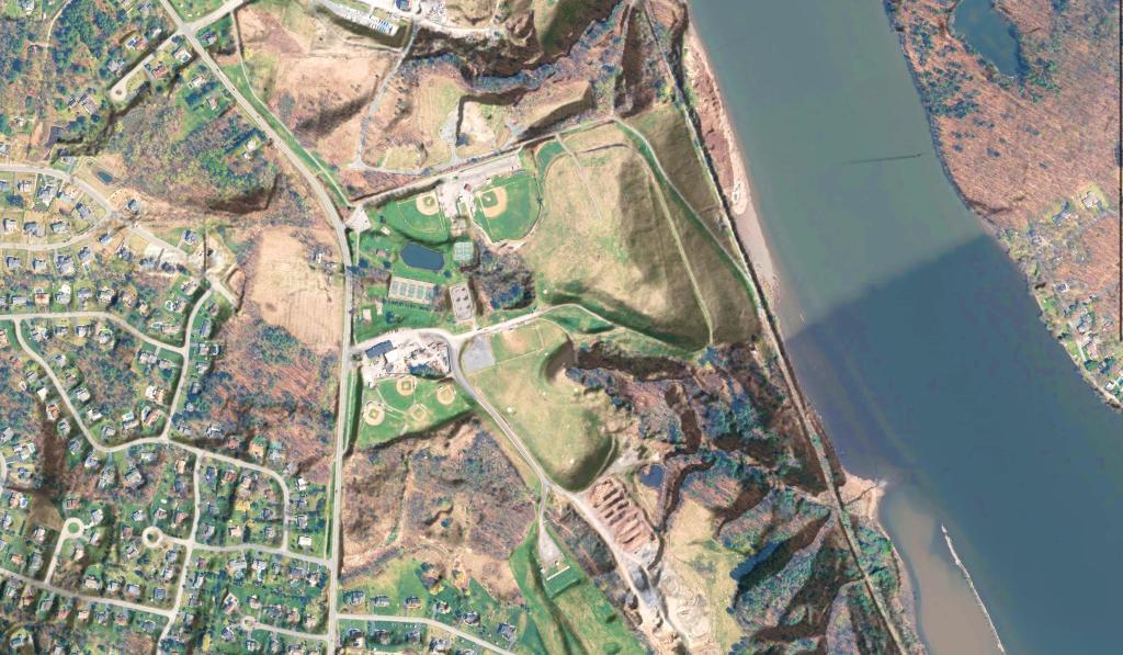
Blatnick Park – Niskayuna Landfill
An orthophoto overlaid by LiDAR digital elevation data.

An orthophoto overlaid by LiDAR digital elevation data.
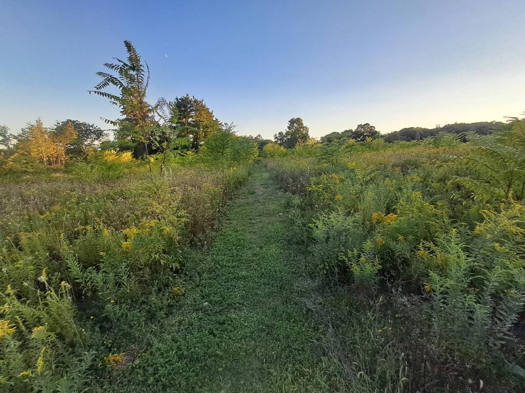
Looking north into the Grand Canyon from Leonard Harrison State Park.
Monday November 8, 2010 — Tioga State Forest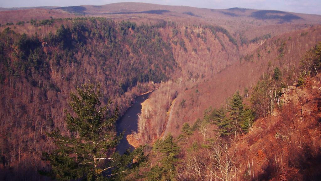

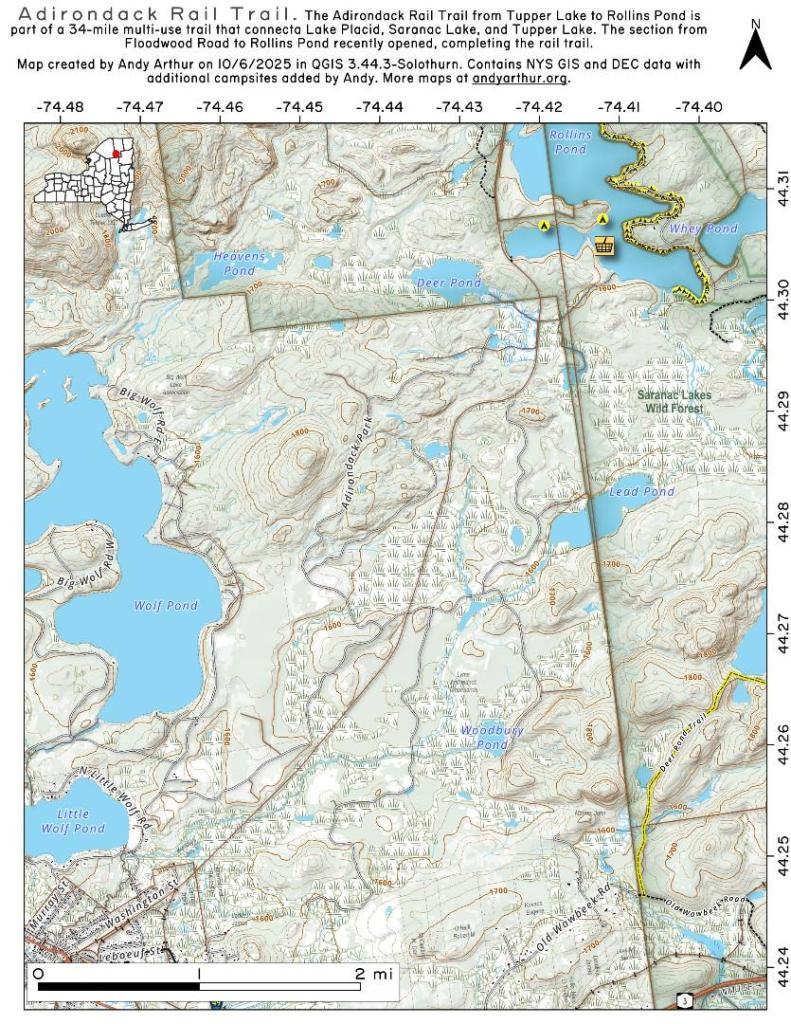
I was working on a map of Fire Fall State Forest and was curious if there was any old roads through the state forest found on the old topographic maps. Doesn't look that way, so I'm not missing anything obvious on the map, though maybe I could find some using LiDAR data.

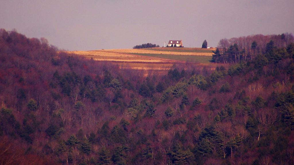
I love this image. This house must have awesome views of the sunsetting over the canyon. As seen from the West Rim of the Grand Canyon.
Monday November 8, 2010 — Tioga State Forest