![Untitled [Expires October 30 2024]](https://i0.wp.com/andyarthur.org//data/photo_014730_large.jpg?fit=1024%2C1024&ssl=1)

Cumberland Notch
The notch gets quite narrow but they manage to get a rail line, a tow path and road in there, and some businesses in wider parts of the notch.
Sunday October 22, 2023 — Great Allegheny Passage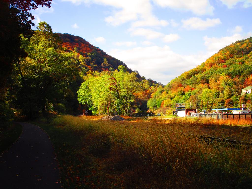

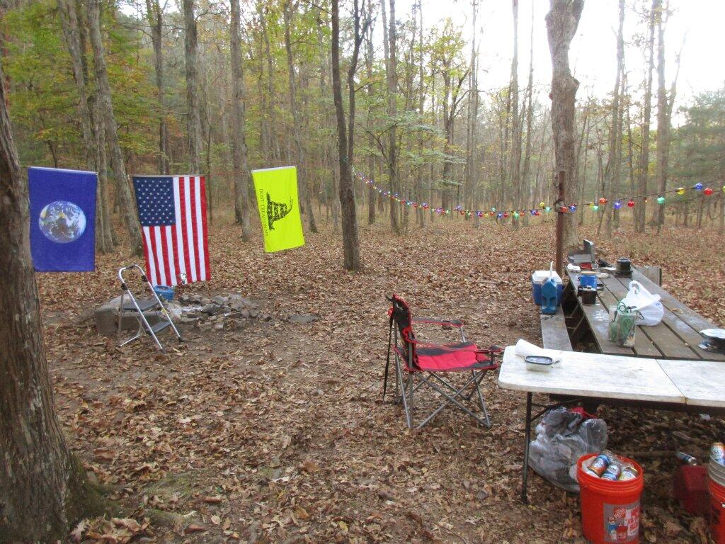
Camping At Camp Run

Still An Evil
Some people I know think government is a force of good. But I’m not sure I agree. I think government may be necessary, and evil sometimes required, but still an evil. We should do everything in our power to shrink our government.

Bemus Point Bridge
A ferry connecting Bemus Point and Stow was founded in 1811 by Thomas Bemus. The original ferry was a raft built by Thomas, and had to be poled across the lake.[5] Today, a cable-drawn ferry exists in its place and is operated by the Sea Lion Project. Until the nearby bridge (now part of I-86) opened October 30, 1982, the Bemus-Stow Ferry was the only way to cross Chautauqua Lake. When closed for the winter months, motorists had to travel northwest to Mayville, or southeast to Jamestown to reach Stow. Either way was a 19-mile (31 km) round trip. Local residents often purchased a seasonal pass to use the ferry, commuting to Lakewood, Sherman, or other areas west of the lake. https://en.wikipedia.org/wiki/Bemus_Point,_New_York
