Descending Sunset Rock 🖼️
Download a JPEG Image of the Descending Sunset Rock.
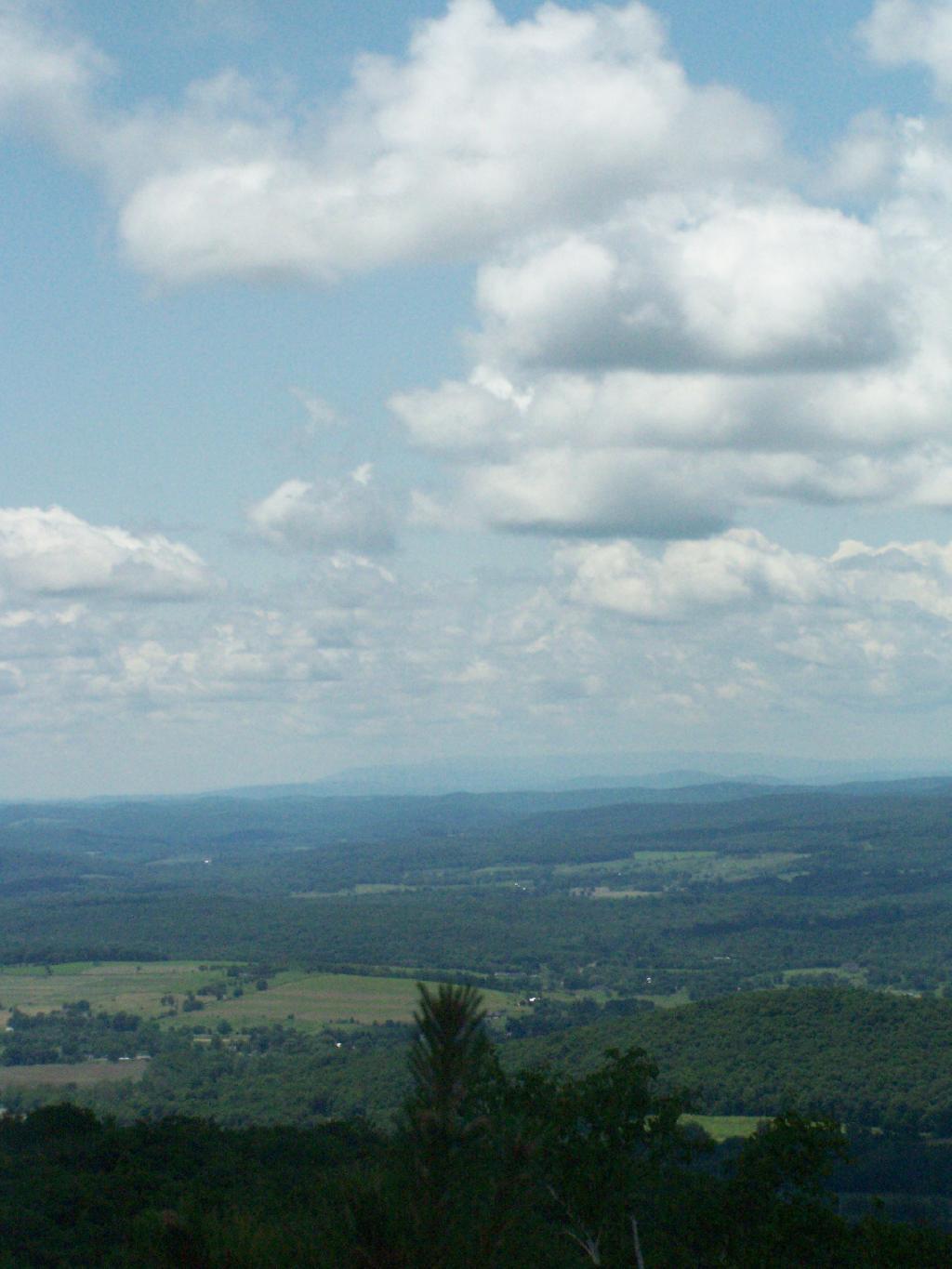
Descending Sunset Rock ...
If you take the main South Taconic trail up or down from Sunset Rock, it's a much easier hike then Cedar Creek, especially when it was as flooded as it was during my hike.
Taken on Sunday June 14, 2009 at Bash Bish Falls.

More about Bash Bish Falls...
Bash Bish Falls might be the most spectacular waterfall in the state Massachusetts. It's literally located on the state line of NY and MA in Mt. Washington, MA. (It's a thirty second drive up from Taconic State Forrest which is in Copake Falls, NY.)
http://berkshirehiking.com/hikes/bash_bish.html


