Day: April 3, 2021💾
📽️ Videos
Municipal Population Density – New York State
I've added a new feature to my blog mapping software that allows me to link a CSV to an ArcMap Feature server such as the Census Bureau. This will be very helpful when full-count Census Bureau is available and I want to make maps of block-level population data or other things that would benefit from the speed of only loading the features currently on the screen.
Map Key: Purple, 100 pop/sq mi, Blue 200 pop/sq mi, Green 300 pop/sq mi, Yellow 400 pop/sq mi, Orange 500 pop/sq mi, Red 600 pop/sq mi.

Driveway to Firetower
Looks like a farm driveway, but it's state owned. (Farmland around it is privately owned).
Friday April 5, 2013 — Berry Hill Firetower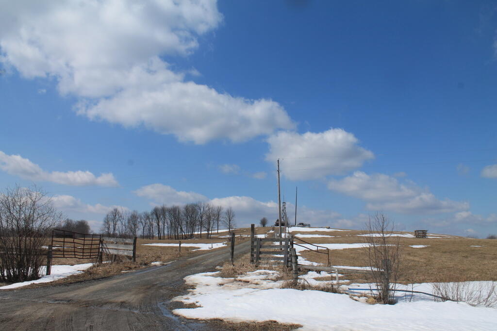

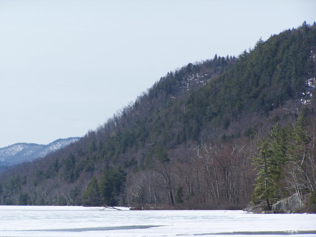
Unamed Mountain
Along the edge of 13th Lake.
Friday April 22, 2011 — Thirteenth Lake — Thirteenth Lake 🗺