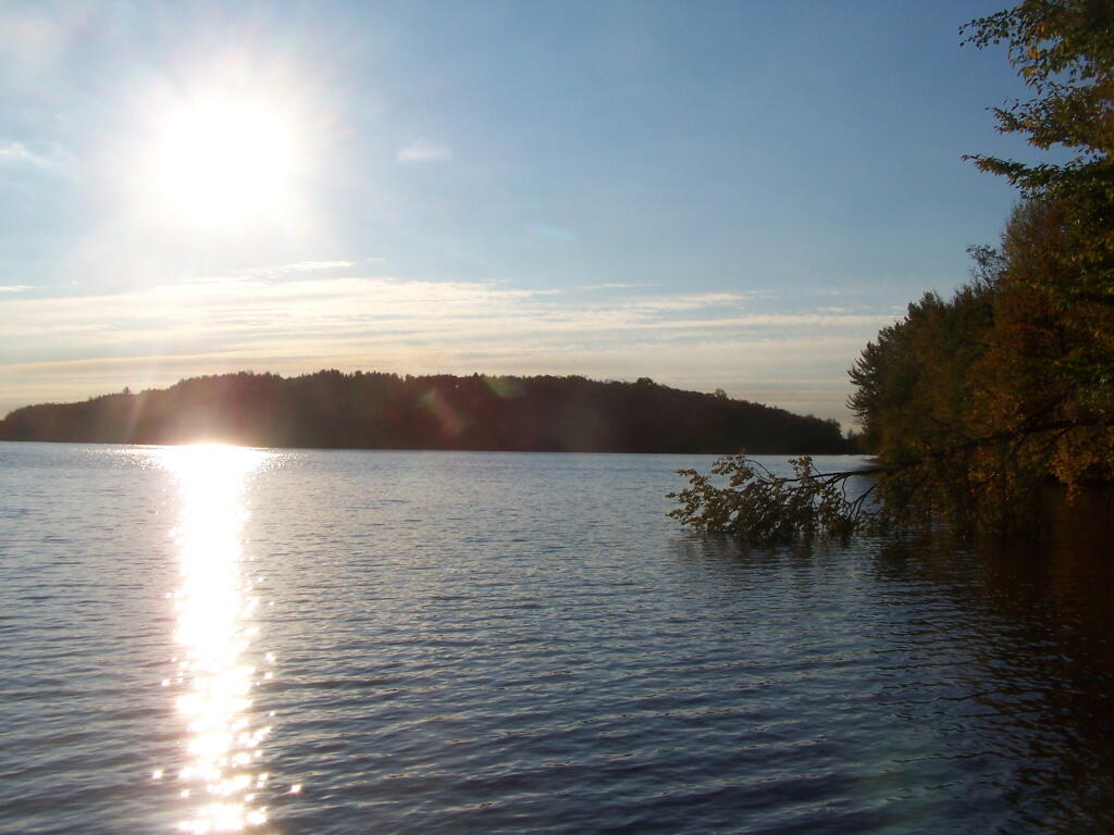

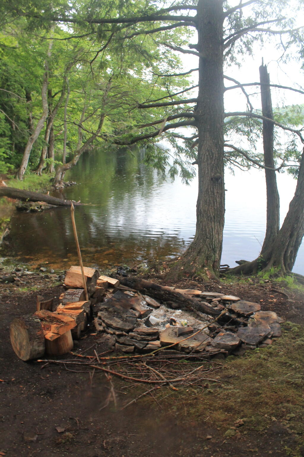
Campsite Along Reservior

Salmon River Reservoir Campsite Locations
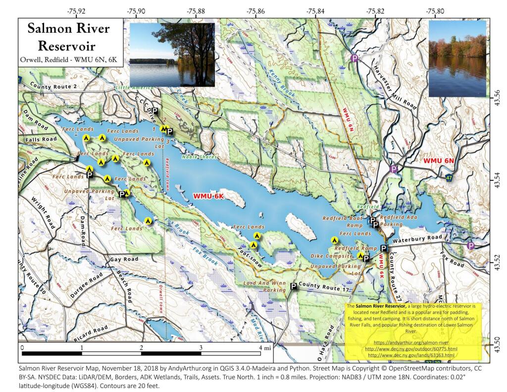
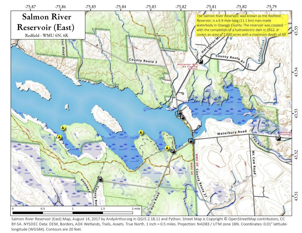
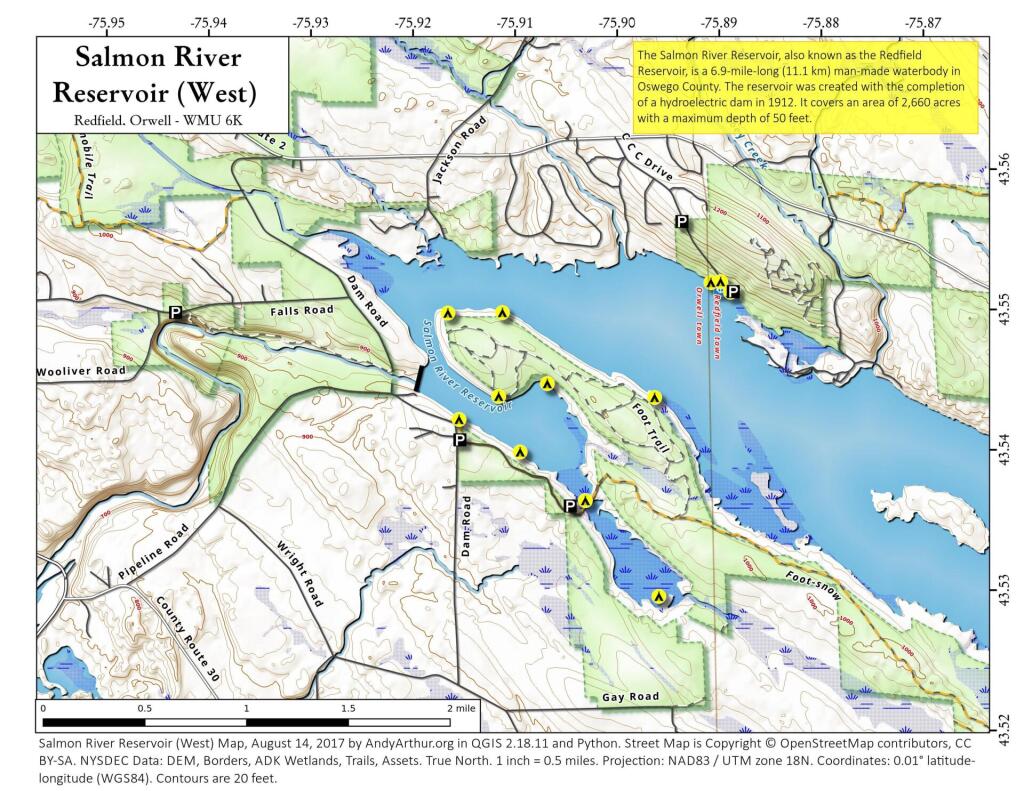
Here are the GPS locations of the Salmon River Reservoir Campsites in Redfield along with several helpful maps for your use.
| Salmon River Reservoir Campsite GPS Locations | ||
| Campsite | Lat | Lng |
|---|---|---|
| Campsite 1 | 43.53097 | -75.82869 |
| Campsite 2 | 43.53100 | -75.82971 |
| Campsite 3 | 43.53223 | -75.83265 |
| Campsite 4 | 43.55103 | -75.88862 |
| Campsite 5 | 43.55178 | -75.88961 |
| Campsite 6 | 43.55171 | -75.89056 |
| Campsite 7 | 43.54176 | -75.91508 |
| Campsite 8 | 43.53949 | -75.90907 |
| Campsite 9 | 43.53607 | -75.90262 |
| Campsite 10 | 43.52930 | -75.89532 |
| Campsite 11 | 43.53739 | -75.90127 |
| Campsite 12 | 43.54438 | -75.90648 |
| Campsite 13 | 43.54343 | -75.91123 |
| Campsite 14 | 43.54933 | -75.91629 |
| Campsite 15 | 43.54933 | -75.91629 |
| Campsite 16 | 43.54941 | -75.91095 |
| Campsite 17 | 43.54510 | -75.89988 |
| Campsite 18 | 43.54347 | -75.89596 |
| Campsite 19 | 43.52375 | -75.85997 |
| Campsite 20 | 43.52601 | -75.85884 |
| Campsite 21 | 43.52632 | -75.84958 |
| Campsite 22 | 43.52510 | -75.83292 |
| Campsite 23 | 43.52139 | -75.82418 |
| Campsite 24 | 43.52465 | -75.82570 |
| Andy Arthur, 7.31.25 | ||
Salmon River Reservoir Camping Opportunities – Maps and Coordinates
Here is a map and coordinates list for the Salmon River Reservoir Campsites. Scroll down for printable Adobe PDF maps.
| Campsite | Latitude | Longitude |
|---|---|---|
|
Campsite 1
|
43.5309742920692
| -75.8286869256684 |
|
Campsite 2
|
43.5309992915826
|
-75.8297119265923
|
|
Campsite 3
|
43.5322302917437
|
-75.8326449252156
|
|
Campsite 4
|
43.551032398543
|
-75.8886238418359
|
|
Campsite 5
|
43.55177656419
|
-75.8896116338177
|
|
Campsite 6
|
43.5517061750734
|
-75.8905568903452
|
|
Campsite 7
|
43.541756677656
|
-75.9150815169557
|
|
Campsite 8
|
43.5394887698881
|
-75.9090654604258
|
|
Campsite 9
|
43.5360696244194
|
-75.902624135171
|
|
Campsite 10
|
43.5293055917744
|
-75.8953235118337
|
|
Campsite 11
|
43.5373862456009
|
-75.9012726107273
|
|
Campsite 12
|
43.5443809396893
|
-75.9064767993171
|
|
Campsite 13
|
43.5434303332432
|
-75.911225839972
|
|
Campsite 14
|
43.5493296300542
|
-75.9162896181872
|
|
Campsite 15
|
43.5493296300542
|
-75.9162896181872
|
|
Campsite 16
|
43.5494103882571
|
-75.9109502761858
|
|
Campsite 17
|
43.5451002917625
|
-75.8998779023845
|
|
Campsite 18
|
43.5434744124482
|
-75.8959544885348
|
|
Campsite 19
|
43.5237542467868
|
-75.859969258665
|
|
Campsite 20
|
43.5260120162344
|
-75.8588356278734
|
|
Campsite 21
|
43.5263250117288
|
-75.849574714577
|
|
Campsite 22
|
43.5250993776627
|
-75.8329156554249
|
|
Campsite 23
|
43.5213924995858
|
-75.8241771774025
|
|
Campsite 24
|
43.5246466269299
|
-75.8256976582404
|
|
Easement Site 1
|
43.5268720918897
|
-75.8437903809071
|
|
Easement Site 2
|
43.5301618787494
|
-75.8491361432998
|
|
Easement Site 3
|
43.535081215355
|
-75.8643611448784
|
|
Easement Site 4
|
43.5335274180135
|
-75.865935146283
|
|
Easement Site 5
|
43.5367460658778
|
-75.8714414686836
|
Printable PDF Maps of Salmon River Reservoir