
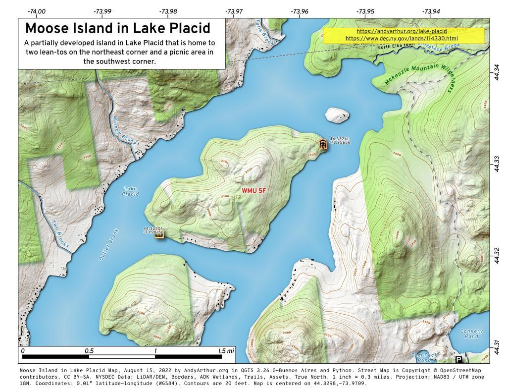

Moose Island in Lake Placid
This interactive map shows Moose Island in Lake Placid along with Lean-Tos and Picnic Area.
Moose Island Lean-Tos (northeast): 44.33241, -73.95656
Moose Island Picnic Area (southwest): 44.32301, -73.98156
Note: Most of the southern shore of this island is developed, private cabins and properties.

South West from High Point – Wide Screen
