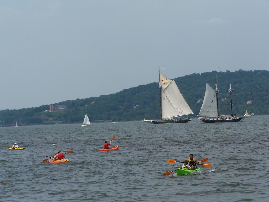
More Boats on River

This is the another example of the beautiful sunset that occurred on Friday night as the clouds cleared out for beautiful weather on Sunday.
Sunday June 15, 2008 — Clearwater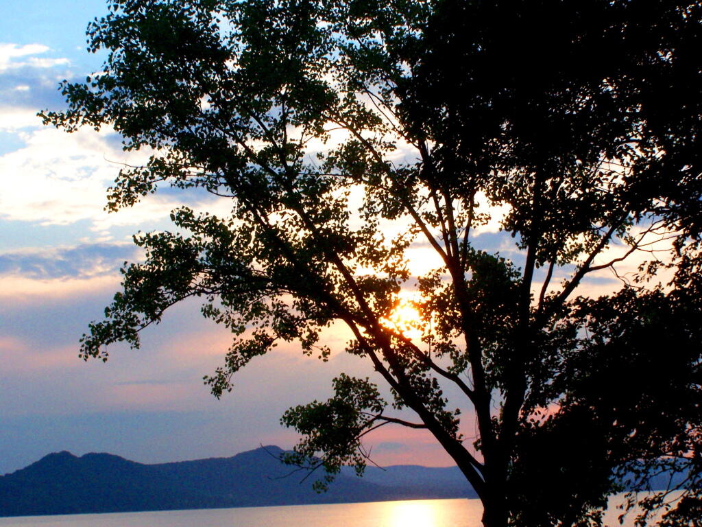

The beautiful sunset down by the Hudson River off of Croton-on-Hudson that I watched during the first day of the Clearwater Festival.
Sunday June 15, 2008 — Clearwater

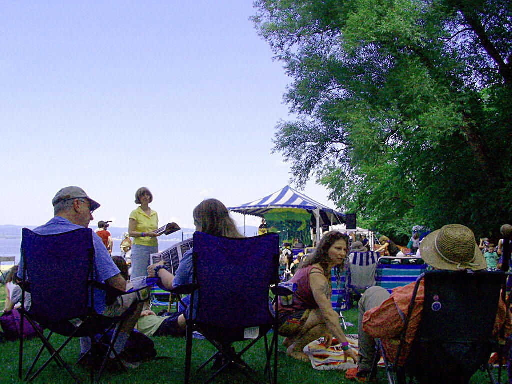
That probably was the toughest decision for all festival goers who had many a choice of good music to listen throughout the festival.
Sunday June 15, 2008 — Clearwater