Goodrich Corners
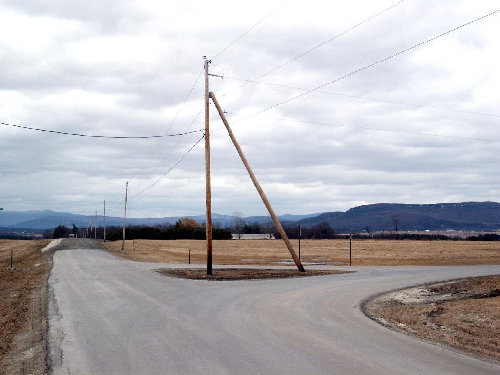
It's an interesting triangle with a telephone between it, with the Green Mountains in the background.
Sunday March 26, 2006 — Addison County, VT

It's an interesting triangle with a telephone between it, with the Green Mountains in the background.
Sunday March 26, 2006 — Addison County, VT

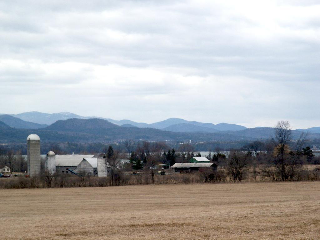
In the distance is the Green Mountains.
Sunday March 26, 2006 — Addison County, VT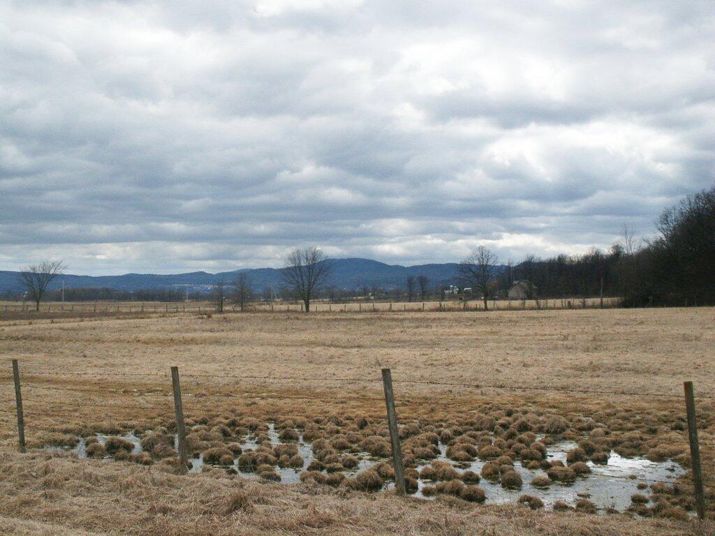

And flat lands around Addison County Vermont and Panton.
Sunday March 26, 2006 — Addison County, VT

Goodrich Corner Road turns sharply as it approaches the Dead Creek area -- a swampy area in between the flat farm lands of Addison County..
Sunday March 26, 2006 — Addison County, VT

Exploring the back roads of Vermont near Goodrich Corners and West Addison. In the background is Lake Champlain and the Adirondack Mountains and lands around Westport.
Sunday March 26, 2006 — Addison County, VT