Fort Seybert
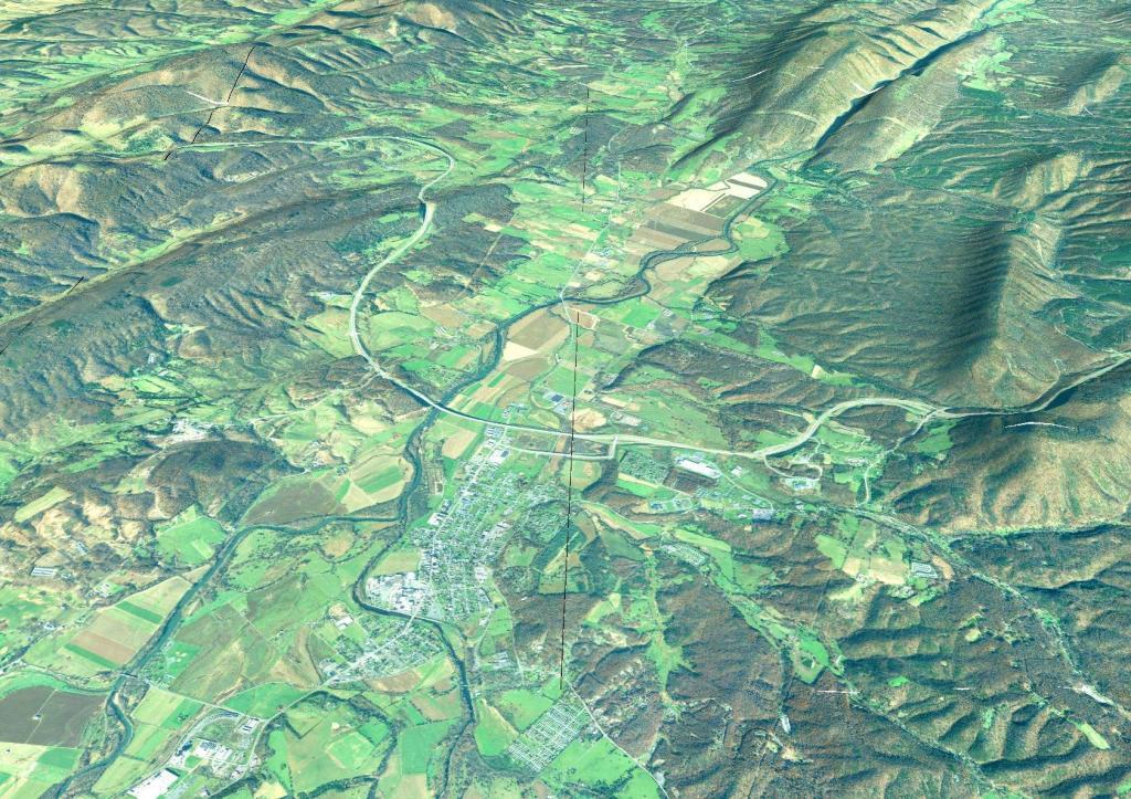
Good farmland is relatively uncommon in Northern West Virginia. But there is an exception around the valley in Fort Seybert.
Good farmland is relatively uncommon in Northern West Virginia. But there is an exception around the valley in Fort Seybert.

Right now there is a 15 mile gap between Wardensville WV and Strasburg VA where Interstate 66 and Interstate 81 run. Completion of this gap - long delayed by a lack of funds for Virginia will bring many more cars to Thomas WV and the high country and may forever change the region. I am kind of glad that I've been there a few times before the region will be forever changed by the tourist.


A little ways north of Seneca Rocks. Some nice farm country north of Seneca Rocks, mostly beef production here in this deep valley.

This map shows the original routing of the 1929 Point Pleasant Bridge.
