
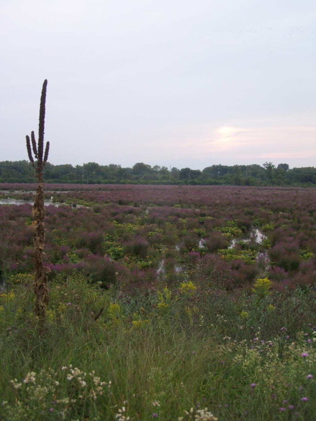
Utica Marsh 📍

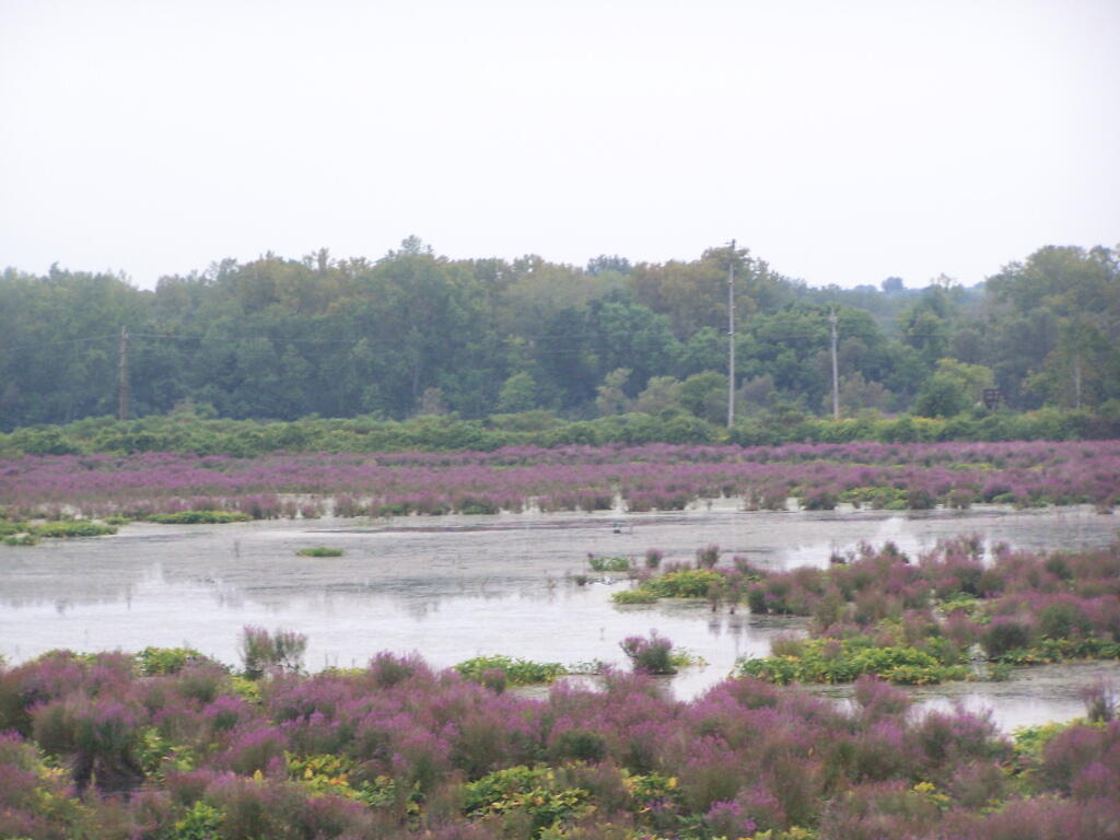
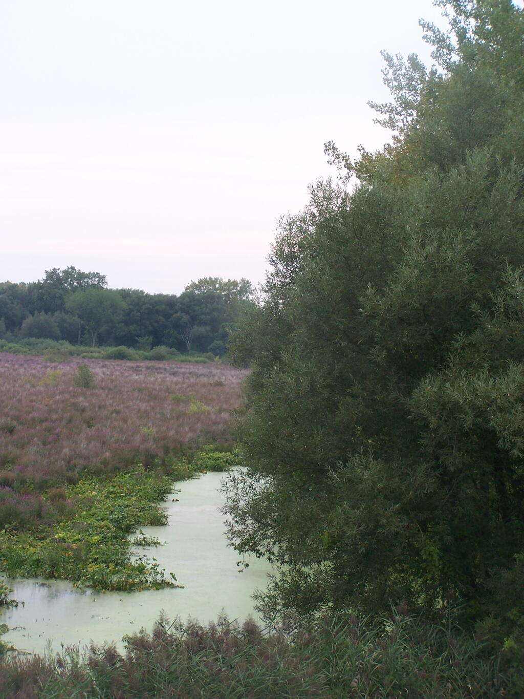
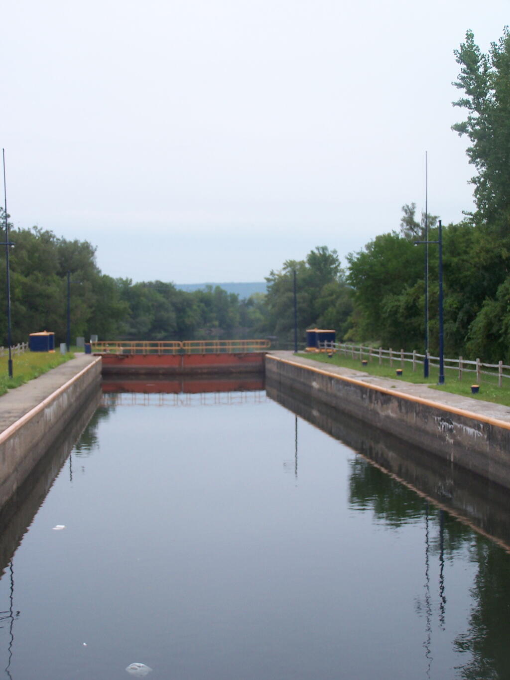
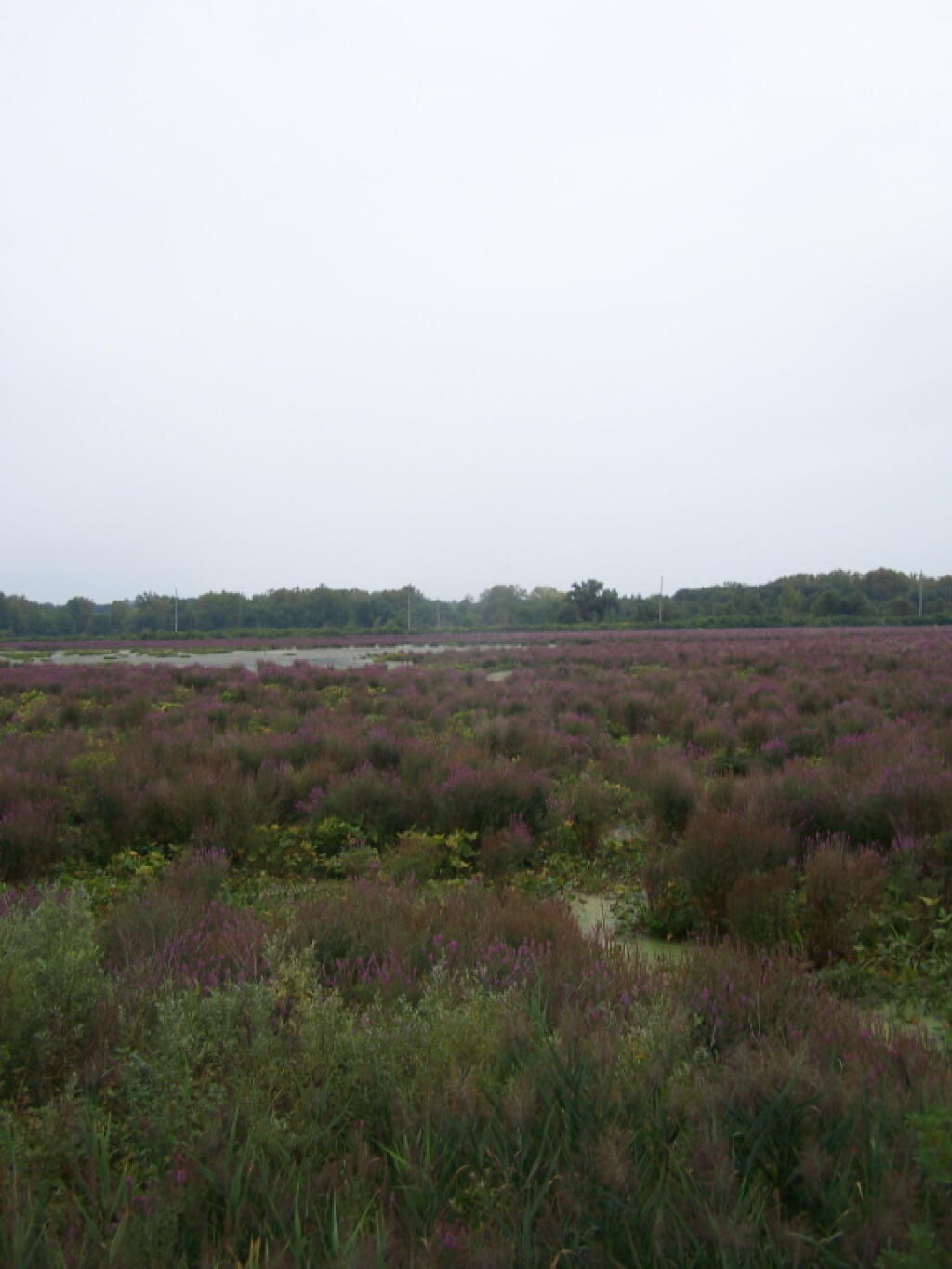
In the late 1970’s, the City of Utica awarded DEC 50 acres of river flood plain with the condition that the state begin buying additional land here and managing this wetland area. Now the WMA contains 213 acres, has 2 observation towers, one viewing platform with a ramp and hardened trail, several trails complete with boardwalks over the wet areas, water control dikes, parking areas, a pavilion and car top boat launch site on the Mohawk River. A large parking lot and boat ramp are located on the Barge Canal just off the north west corner of the WMA and a bike trail passes along the marsh and barge canal on the north.

http://www.dec.ny.gov/outdoor/9323.html

🗺️ Maps 🖼️ Photos
Map: Bartman Trail
Map: Mountain House Trail and North Mountain
SVGZ Graphic: Trains with Hazardous Materials That Derailed in 2022
Thematic Map: Troy vs Manhattan - A Size Comparison