It’s just messed up that the Latitude is the Y axis, longitude is the X axis, but most of the time you write Latitude (Y), Longitude (X) — but Y does not come before X in the alphabet unless you are a Little Endian and think Z is the first letter in the alphabet.
State Lands 📍
📽️ Videos
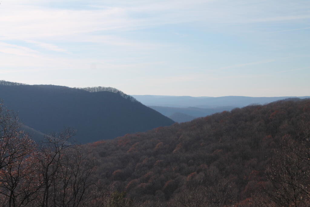
There are 2.1 Million Acres of State Forest in Pennsylvania.
There are 2.1 million acres of state forest in Pennsylvania, not including the Allegheny National Forest and various state parks. The largest state forest is Sproul State Forest, followed by Susquehannock State Forest and Elk State Forest.
| State Forest | Acres |
|---|---|
| Sproul | 305,442 |
| Susquehannock | 260,110 |
| Elk | 199,966 |
| Bald Eagle | 193,393 |
| Moshannon | 190,031 |
| Tioga | 161,890 |
| Tiadaghton | 146,538 |
| Loyalsock | 114,550 |
| Tuscarora | 96,025 |
| Rothrock | 95,975 |
| Michaux | 85,502 |
| Delaware | 83,020 |
| Buchanan | 69,672 |
| Forbes | 58,519 |
| Lackawanna | 29,603 |
| Weiser | 28,058 |
| Gallitzin | 24,370 |
| Clear Creek | 16,126 |
| Cornplanter | 1,491 |
| William Penn | 807 |
DEC State Land Websites
This interactive map has a dot for each state land parcel. When you click on it you will see a balloon at contains the address to the associated DEC state land website. Kind of a nice quick reference to state lands across the state.
Data Source: NYSDEC State Lands Shapefile, Center Points.