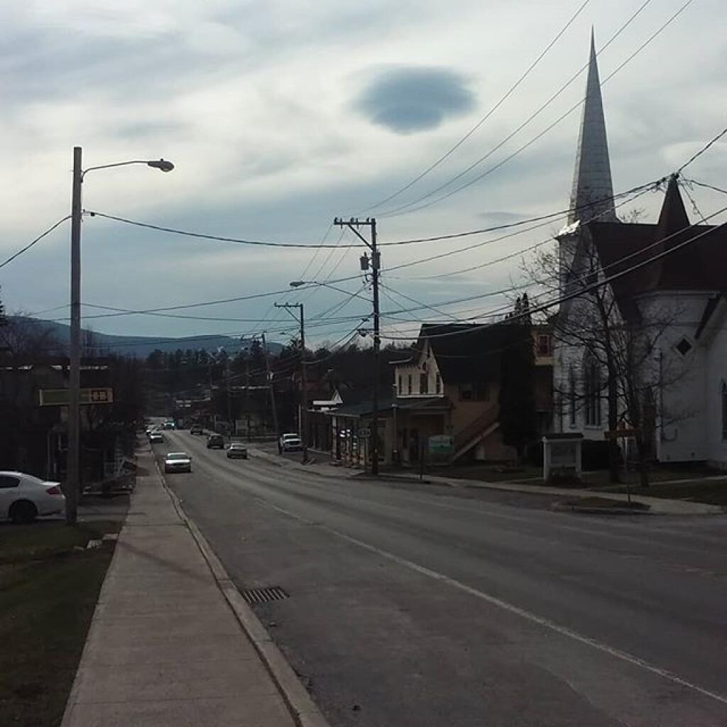
Places 📍
Center Square Neighborhood of Albany vs Thruway-Northway Interchange (Size Comparison)
This gives you an idea of the scale of the Thruway-Northway Interchange in Colonie compared to Center Square Neighborhood in Albany. These aerial photos are the exact same scale.
Building Shadow Analysis Program
Earlier this week I wrote a small PHP script for analysis of the shadow cast by buildings on the surrounding landscape. To obtain sun position and altitude, it relies on SunCalc PHP which must be included in the script. It goes throughout the year, churning out how much of a shadow a building will produce each hour, in feet and direction. Additionally, the script will calculate the maximum point the shadow will be cast as a set of coordinates.
<?php
// The current values entered into this script currently are for the Empire Plaza.
$latitude = 42.64915;
$longitude = -73.75950;
$height = 610;
$start = strtotime("January 1, 2020 12 AM");
$end = strtotime("December 31, 2020 11 PM");
include("suncalc.php");
// Compass as a Reference
$compass = array(
'north', 'north-northeast', 'northeast',
'east-northeast', 'east', 'east-southeast',
'southeast', 'south-southeast', 'south',
'south-southwest', 'southwest',
'west-southwest', 'west', 'west-northwest',
'northwest', 'north-northwest');
function newPos($lat, $lng, $dist, $dir) {
// Earth Radius in KM
$R = 6378.14;
// distance in feet to KM
$d = (($dist * 0.3048) / 1000);
// Degree to Radian
$lat1 = $lat * (M_PI/180);
$lng1 = $lng * (M_PI/180);
$brng = $dir * (M_PI/180);
// Really Complicated Math (TM) that works based on the HAVERSINE formula from
// https://stackoverflow.com/questions/7222382/get-lat-long-given-current-point-distance-and-bearing
$lat2 = asin(sin($lat1)*cos($d/$R) + cos($lat1)*sin($d/$R)*cos($brng));
$lng2 = $lng1 + atan2(sin($brng)*sin($d/$R)*cos($lat1),cos($d/$R)-sin($lat1)*sin($lat2));
# back to degrees
$lat2 = $lat2 * (180/M_PI);
$lng2 = $lng2 * (180/M_PI);
return "$lat2,$lng2";
}
$output = "Month,Day,Hour,Sun Angle,Sun Position,Sun Pos Name,Shadow Length,Shadow Direction,Shadow Dir Name,Orginal Lat, Original Lng, Maximum Shadow Lat, Maximum Shadow Lng\n";
for ($time = $start; $time &lt; $end; $time += 60*60) { // get sun position for time $timeObj = new DateTime(); $timeObj-&gt;setTimestamp($time);
$sc = new AurorasLive\SunCalc($timeObj, $latitude, $longitude);
$sunPos = $sc-&gt;getSunPosition($timeObj);
// don't include any time when sun is below the horizon
if ($sunPos-&gt;altitude*(180/M_PI) &lt; 0) continue; // add month, day, hour $output .= date('n,j,G,',$time); // get sun altitude $output .= $sunPos-&gt;altitude*(180/M_PI).',';
// get sun position
$output .= 180+$sunPos-&gt;azimuth*(180/M_PI).',';
$output .= $compass[round((180+$sunPos-&gt;azimuth*(180/M_PI))/ 22.5) % 16].',';
// shadow length
$output .= $height/tan(deg2rad($sunPos-&gt;altitude*(180/M_PI))).',';
// shadow direction
$shadowDir = $sunPos-&gt;azimuth*(180/M_PI) + 360;
if ($shadowDir &gt; 360) $shadowDir -= 360;
$output .= $shadowDir.',';
$output .= $compass[round($shadowDir/ 22.5) % 16].',';
// building latitude and longitude
$output .= "$latitude, $longitude,";
// maximum extent of shadow
$output .= newPos($latitude, $longitude, $height/tan(deg2rad($sunPos-&gt;altitude*(180/M_PI))), $shadowDir).",";
$output .= "\n";
}
echo $output;
Here is an example output:
Month,Day,Hour,Sun Angle,Sun Position,Sun Pos Name,Shadow Length,Shadow Direction,Shadow Dir Name,Orginal Lat, Original Lng, Maximum Shadow Lat, Maximum Shadow Lng 1,1,8,4.370562595888,127.16997476055,southeast,7981.2630997694,307.16997476055,northwest,42.64915, -73.7595,42.662350867593,-73.783180446551, 1,1,9,12.464234785715,138.47001937172,southeast,2759.6833421566,318.47001937172,northwest,42.64915, -73.7595,42.654806428356,-73.766311948646, 1,1,10,18.826346377511,151.18871989968,south-southeast,1789.1660233981,331.18871989968,north-northwest,42.64915, -73.7595,42.653442385927,-73.762710054908, 1,1,11,22.92597731207,165.29270254371,south-southeast,1442.2476816852,345.29270254371,north-northwest,42.64915, -73.7595,42.652969571748,-73.76086316453, 1,1,12,24.317973645092,180.27827074558,south,1349.8710413416,0.27827074557518,north,42.64915, -73.7595,42.652845989302,-73.7594755931, 1,1,13,22.827705402895,195.24737437252,south-southwest,1449.1706789769,15.247374372522,north-northeast,42.64915, -73.7595,42.652978239559,-73.758081165062, 1,1,14,18.641667869753,209.31025239405,south-southwest,1808.2272087538,29.310252394054,north-northeast,42.64915, -73.7595,42.653467170112,-73.756204500047, 1,1,15,12.211118961179,221.98033545934,southwest,2818.7133569306,41.980335459338,northeast,42.64915, -73.7595,42.654887013398,-73.752480800429, 1,1,16,4.0670753820534,233.23837174035,southwest,8579.0650125467,53.238371740354,northeast,42.64915, -73.7595,42.663205632648,-73.733908619093, 1,2,8,4.3645441749857,127.03353849744,southeast,7992.3115188513,307.03353849744,northwest,42.64915, -73.7595,42.662327567958,-73.783255965565, 1,2,9,12.476443037614,138.33095911417,southeast,2756.8958218911,318.33095911417,northwest,42.64915, -73.7595,42.654788550435,-73.766323694576, 1,2,10,18.860737296743,151.04916237459,south-southeast,1785.6561891219,331.04916237459,north-northwest,42.64915, -73.7595,42.653428213262,-73.762717935368, 1,2,11,22.985140372821,165.15894624042,south-southeast,1438.1068136859,345.15894624042,north-northwest,42.64915, -73.7595,42.652956261035,-73.760871335783, 1,2,12,24.401639825801,180.15947237405,south,1344.6352402431,0.15947237405339,north,42.64915, -73.7595,42.652831682677,-73.759486067027, 1,2,13,22.932215921968,195.15131682951,south-southwest,1441.810083379,15.151316829514,north-northeast,42.64915, -73.7595,42.652960530629,-73.7580970562, 1,2,14,18.761308368827,209.23956034287,south-southwest,1795.8375075952,29.239560342872,north-northeast,42.64915, -73.7595,42.653440556697,-73.756234277101, 1,2,15,12.340240887742,221.93268535805,southwest,2788.302504508,41.932685358049,northeast,42.64915, -73.7595,42.654829364851,-73.752562956502, 1,2,16,4.2013827926665,233.20922777897,southwest,8303.8756666826,53.209227778967,northeast,42.64915, -73.7595,42.662764126188,-73.734739101558,
Percent of Land Forested – New York State Counties in 2021
A New York State take on a popular map that has been found on the inter-webs lately.
NPR
Some of the nation's leading defense lawyers have been trying to wrap their heads around what they consider abnormal behavior by the U.S. Department of Justice over the past year.
Now, they're debuting a tool to help track criminal cases that appear to involve irregular charging practices, including aggressive legal theories and possible political retribution against President Trump's foes.
"We created the Case Tracker because you cannot defend against an enemy you cannot see," said Steven Salky, a lawyer in the Washington, D.C., area who oversees the project. "The Tracker is intended to spotlight for the next several years the unusual cases being prosecuted by the Department of Justice."
The new database includes the federal cases against Sean Charles Dunn, who threw a sub sandwich at a federal immigration officer, and Jacob Samuel Winkler, a homeless man accused of directing a laser pointer toward the Marine One presidential helicopter. Juries in Washington, D.C., acquitted both men. Nekima Levy Armstrong holds up her fist after speaking at an anti-ICE rally for Martin Luther King Jr. on Jan. 19 in St. Paul, Minn. National Anti-ICE protest at Minnesota church leads to 3 arrests but no charges for a journalist
The tracker, sponsored by the National Association of Criminal Defense Lawyers (NACDL), also monitors cases where government charges of resisting federal law enforcement have been undercut by videos and eyewitness accounts from protesters.


