

Wisdom of a quarter mile between campsites
As I’ve grown older, I’ve come to realize that beauty of the state’s policy of keeping dispersed and wilderness campsites at least a 1/4 mile apart.
While that leads to fewer camping opportunities in popular locations, it also means a truer wilderness experience where other campers will not be disturbed by talking, music, chopping wood or other human noise, smoke from other fires or other privacy issues.
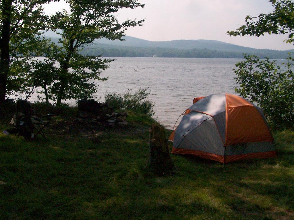
I enjoy having my space while camping and having nobody else in sight or sound while in the wilderness.
NYS Leantos
Interactive map showing all of the lean-tos in New York State as of May 2026.

Building the Perfect Squirrel Proof Bird Feeder
Squirrels were stealing my bird seed so I solved the problem with mechanical engineering :)
