Contours
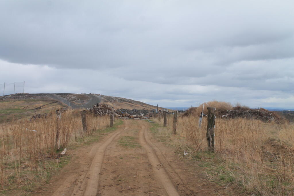
Looking up at the closed Greater Albany Landfill at about 385 feet elevation to the top of the Rapp Road Landfill which is about 45 feet or 5 stories higher.
Saturday February 15, 2020 — The GAL

Looking up at the closed Greater Albany Landfill at about 385 feet elevation to the top of the Rapp Road Landfill which is about 45 feet or 5 stories higher.
Saturday February 15, 2020 — The GAL

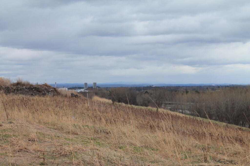

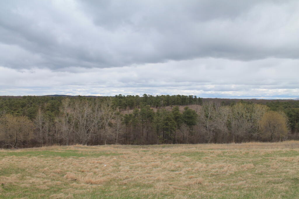
Looking at the hilly terrian atop the Greater Albany Landfill.
Saturday February 15, 2020 — The GAL

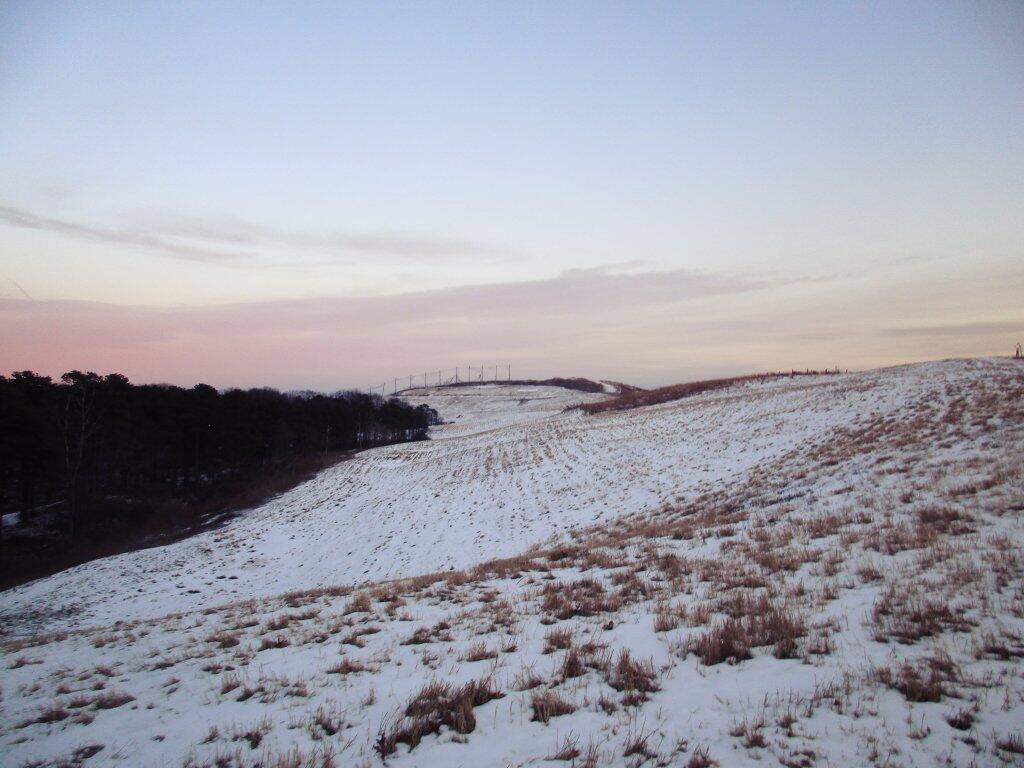
On the sides is the test plantations, with the newer landfill in the distance. The new landfill is almost 100 ft higher than the old one.
Sunday April 27, 2014 — The GAL