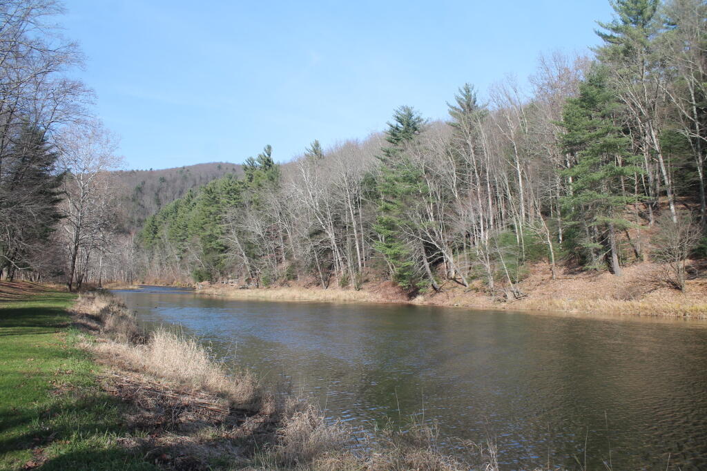
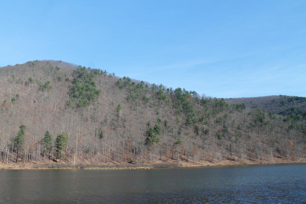
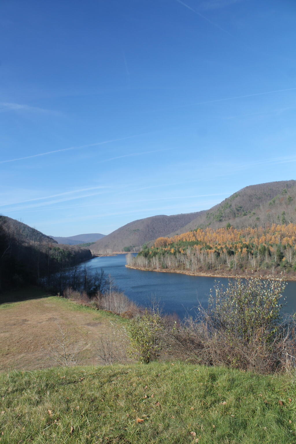
Sinnemahoning State Park 📍

Sinnemahoning State Park is a 1,910-acre (773 ha) Pennsylvania state park in Grove Township, Cameron County and Wharton Township, Potter County, Pennsylvania in the United States. The park is surrounded by Elk State Forest and is mountainous with deep valleys.

The park is home to elk and bald eagle. Sinnemahoning State Park is on Pennsylvania Route 872, eight miles (13 km) north of the village of Sinnamahoning. In 1958, the park opened under the direction of the Pennsylvania Bureau of Forestry: it became a Pennsylvania State Park in 1962.

http://www.dcnr.state.pa.us/stateparks/findapark/sinnemahoning/index.htm

🖼️ Photos
Terrain Map: Proposed Exit 25 Interchange with Interstate 88
Map: Green Mnt NF Forest Road 74 Camping

Sinnemahoning Reservoir

The George Stevenson Dam backs up the First Branch of the Sinnemahoning River for flood control purposes. A nice state park is located along the shoreline, nestled in the mountains.

Monday November 10, 2014 — Sinnemahoning State Park
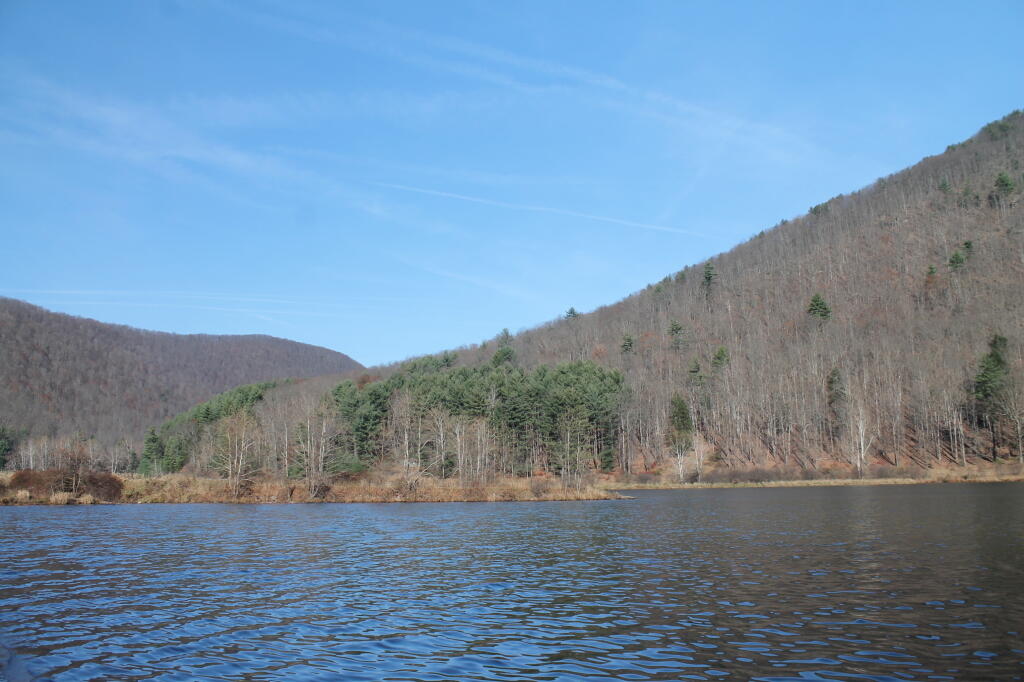
Map: Floodwood Mountain Trail
Terrain Map: Waterbury Gap
Thematic Map: The fertile lands of the Black River Valley are Surounded by Tug Hill and Adirondacks