Schodack Creek 📍

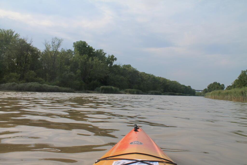
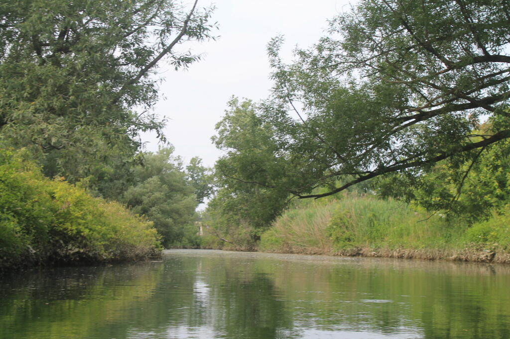
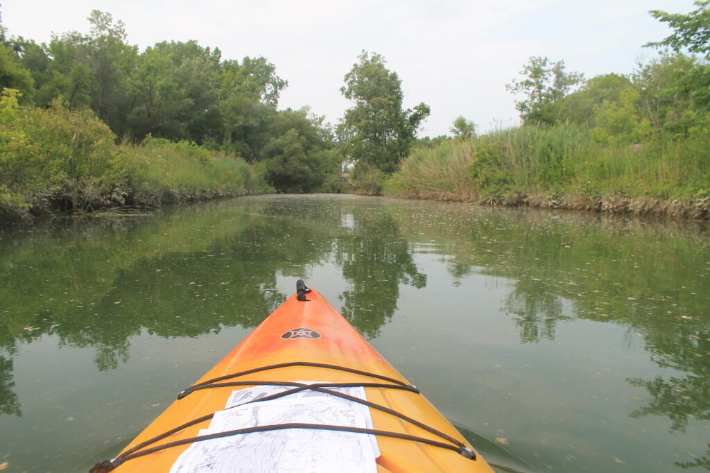
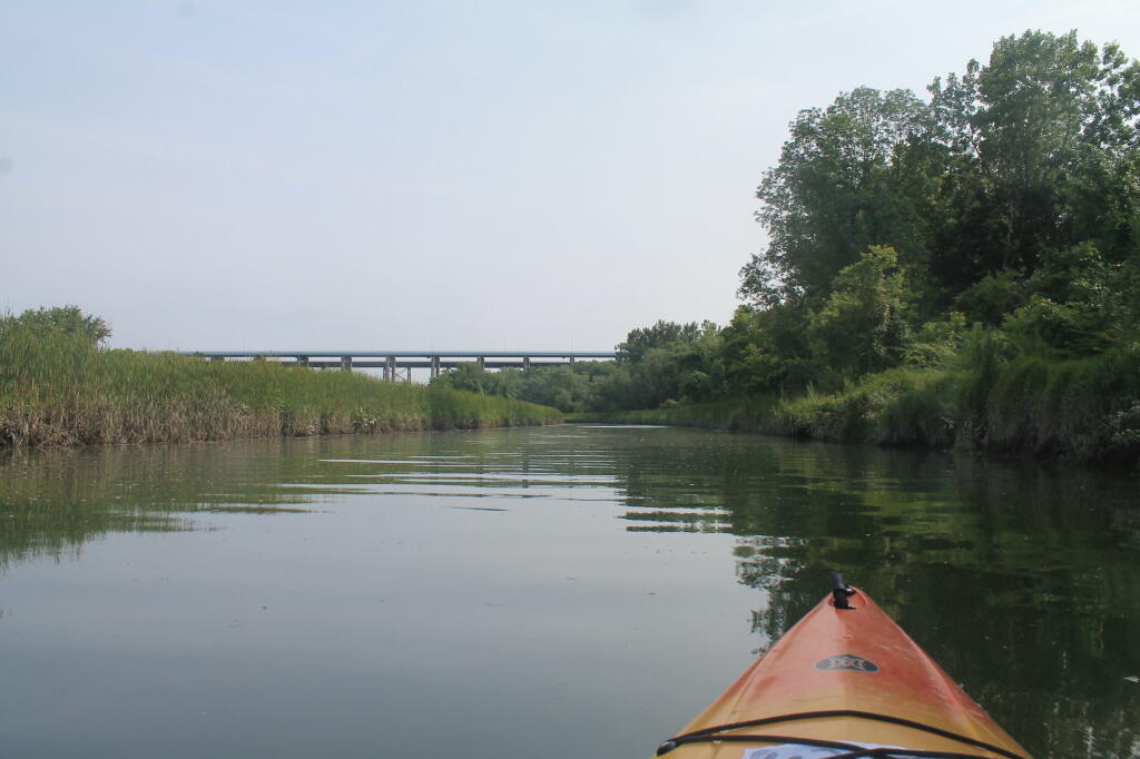
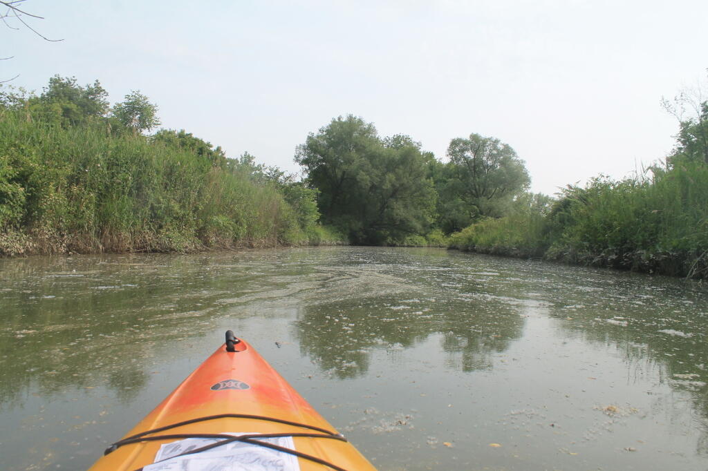
Offering paddling for several miles along the Hudson River, area turns to mud-flats in low tide, and a muddy brown that is paddle-able in high tide.

🖼️ Photos
Terrain Map: Cario Round Top LIDAR
SVGZ Graphic: Control of State Government - By Percentage of US Population
Terrain Map: Mahanoy Mountain
Map: Green Mountain National Forest North
SVGZ Graphic: Population Change from 1974 to 2024