Parameter Path


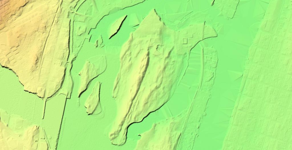
Peebles Island, perched high above the confluence of the Hudson and Mohawk Rivers has an interesting terrian to explore using LiDAR imaging and hillshade.

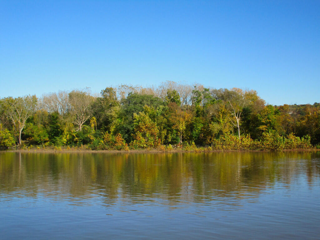
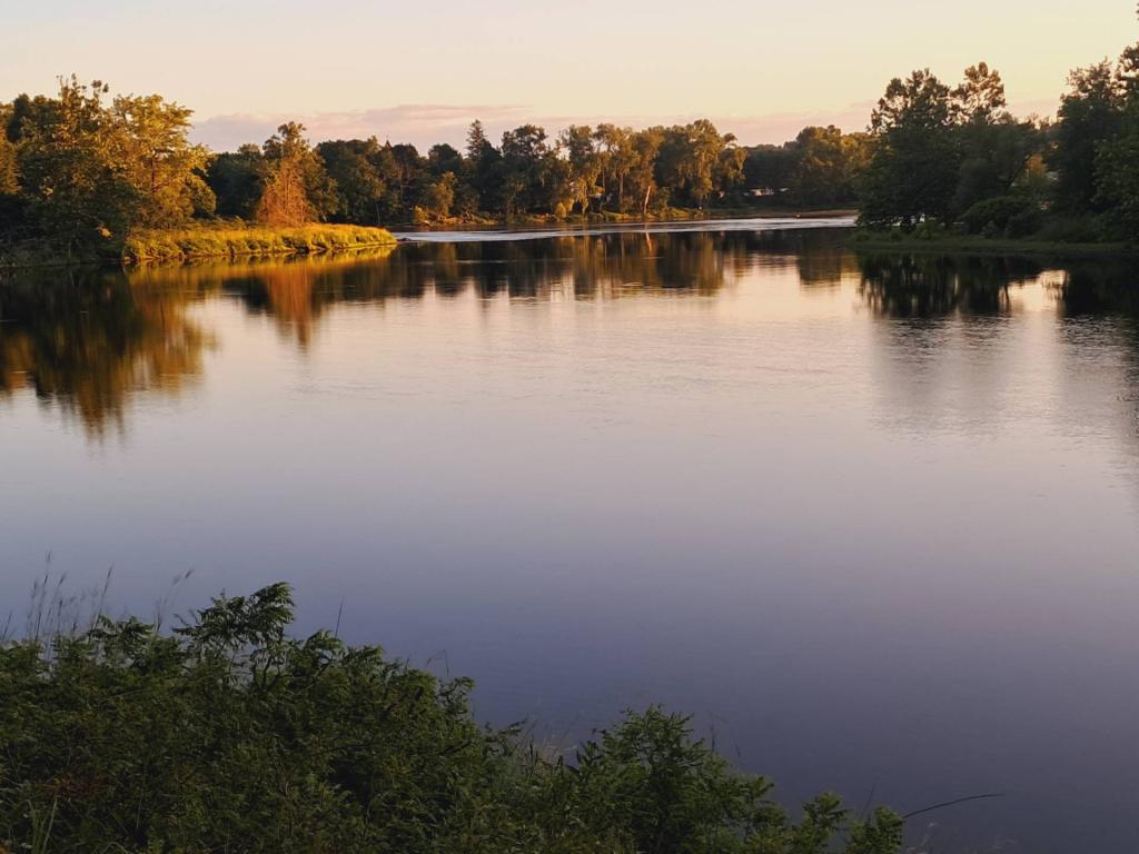
Some parts of the Mohawk and Hudson Rivers around Peebles Island are increadibly quiet, hiding the falls and dams that surround the island.
Saturday October 19, 2019 — Peebles Island State Park