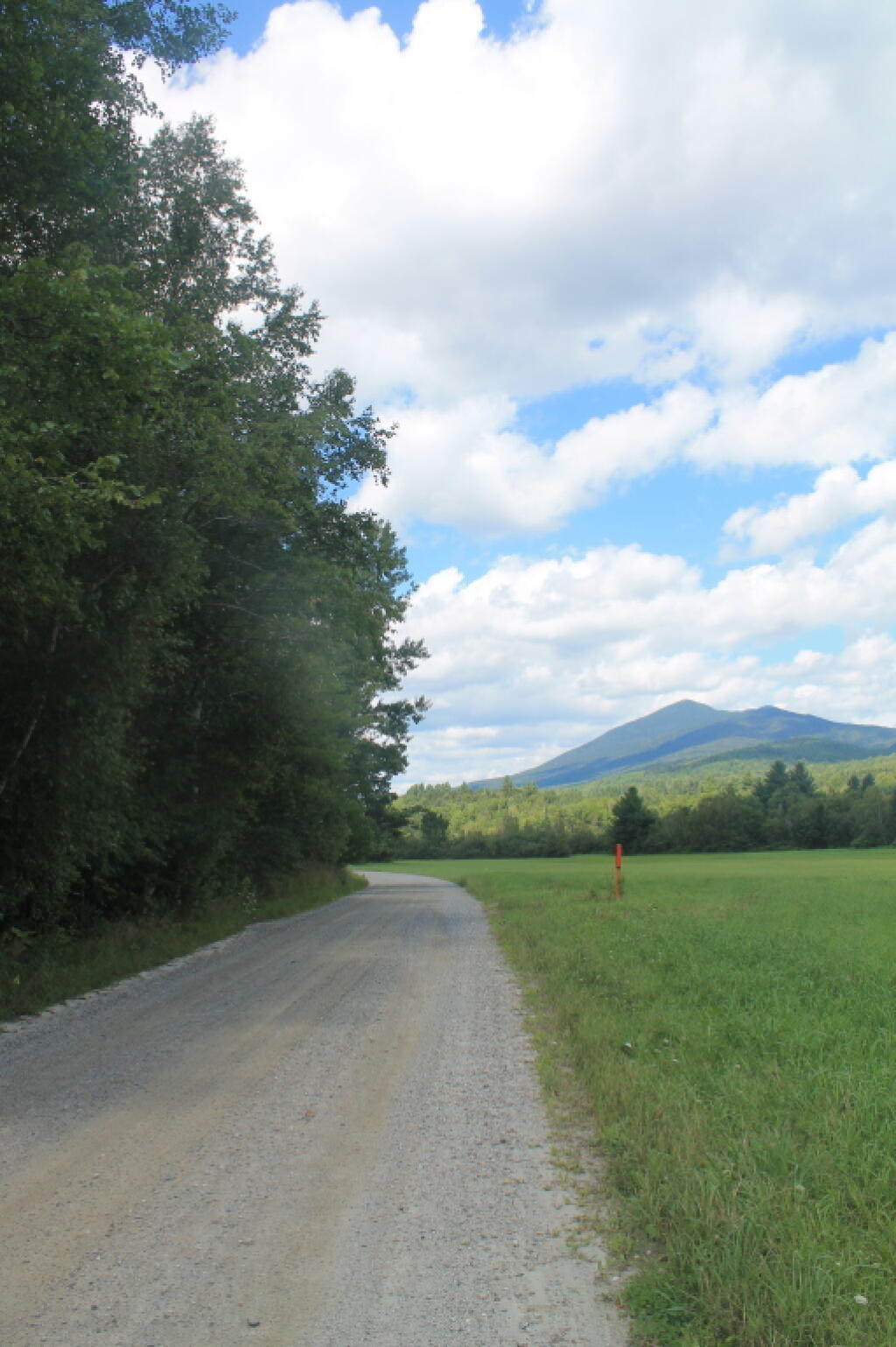
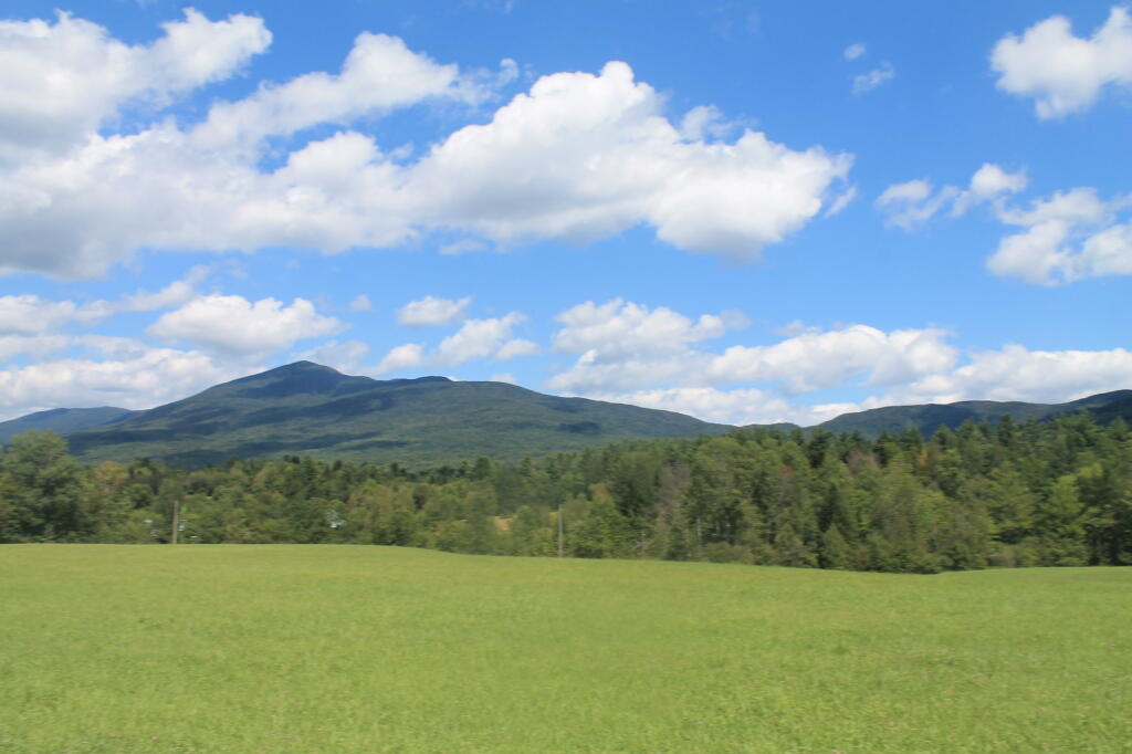
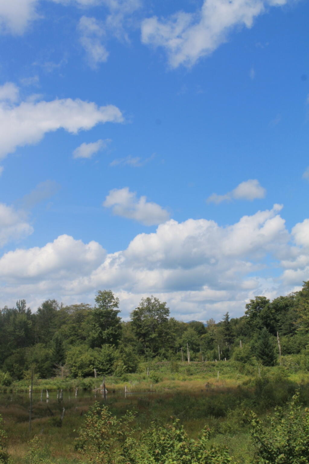
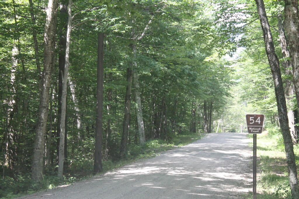
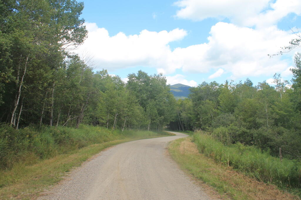
The Natural Turnpike is a scenic route running from South Lincoln to Breadloaf, VT. Also known a Forest Route 54 or South Lincoln road, it offers sweeping views of the major northern Green Mountain peaks like Mount Grant, Mount Wilson, Breadloaf, and Boyce Mountain. This scenic route is a smooth gravel route, with easy curves, that make it a delightful drive.