
US 6 in Pennsylvania 📍

🖼️ Photos 📽️ Videos
SVGZ Graphic: Distance to a Dollar Store

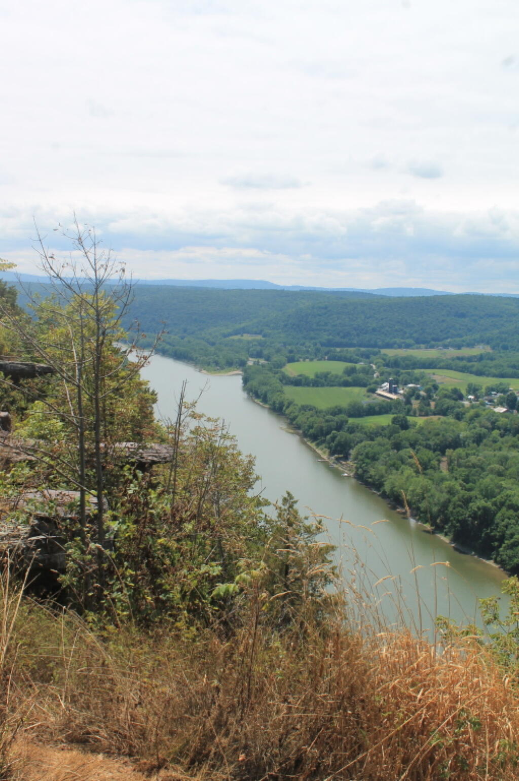
Marie Antoinette Overlook In The Fog.

Climbing US Route 6 to the Marie Antoinette Overlook in November, driving through heavy fog due to a temperature inversion. Plus a shot of me taking a picture after 8 days camping in the wilderness.

OpenStreetMap: One of the World's Largest Collaborative Geospatial Projects - GIS Lounge
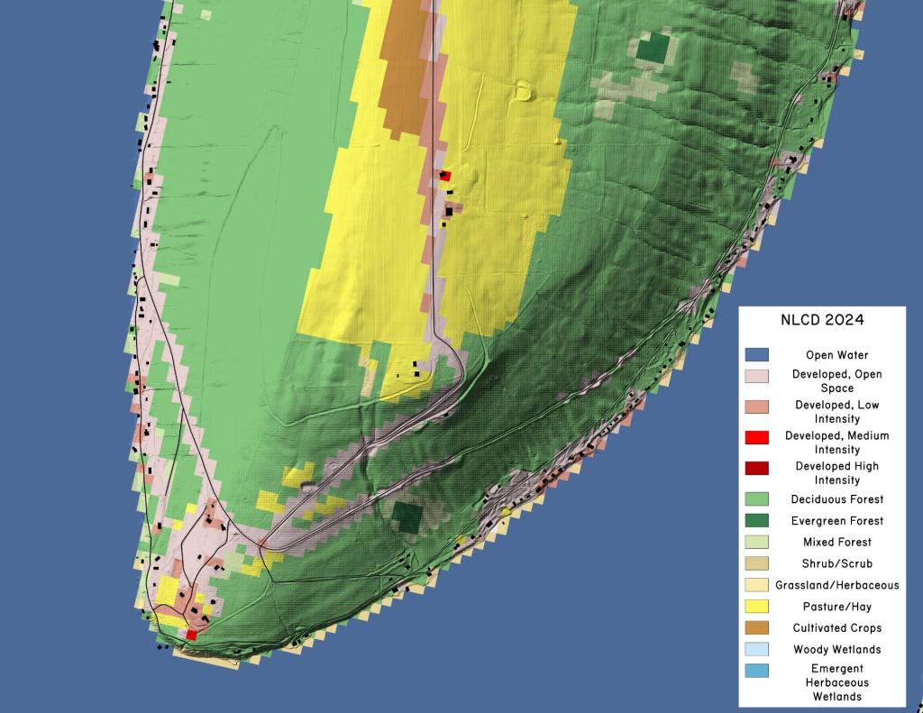
Terrain Map: Bluff Point LIDAR and NLCD 2024
Map: Northville To West Stoney Creek -  NPT
Terrain Map: Buildings Constructed in Capital Region, 2015-2020