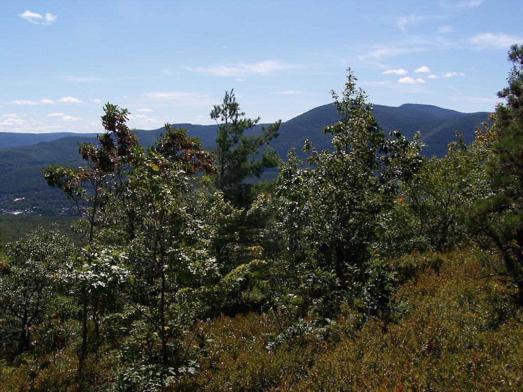
Mount Greylock
As seen through the trees atop of Pine Cobble.
Sunday September 6, 2009 — Pine Cobble

As seen through the trees atop of Pine Cobble.
Sunday September 6, 2009 — Pine Cobble

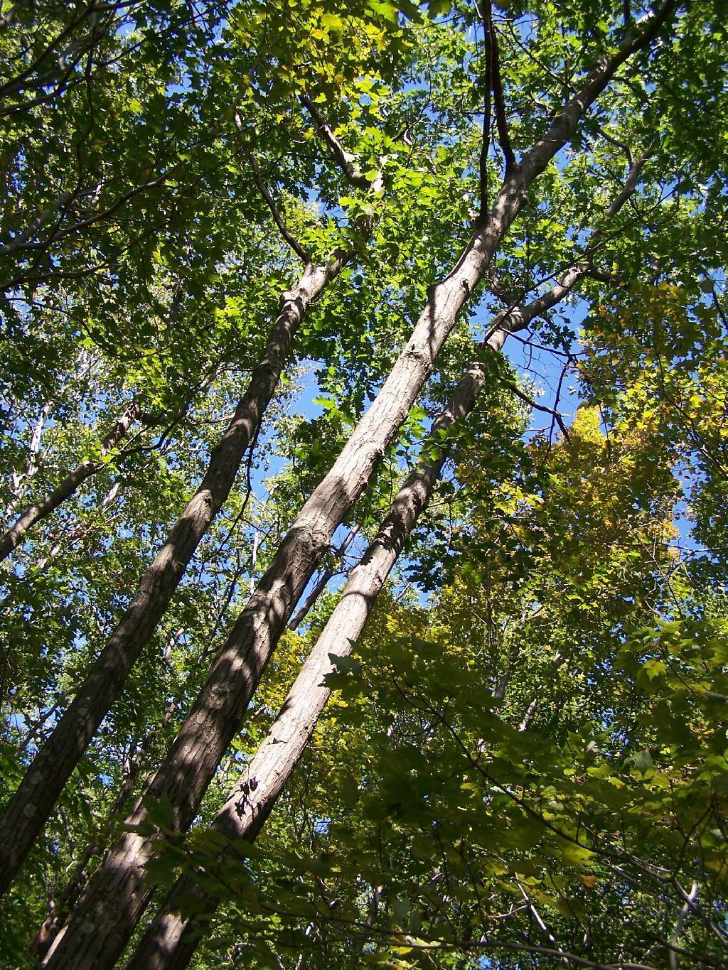

These are of the Petersburg ridge with the cobble along East Mountain.
Sunday September 6, 2009 — Pine Cobble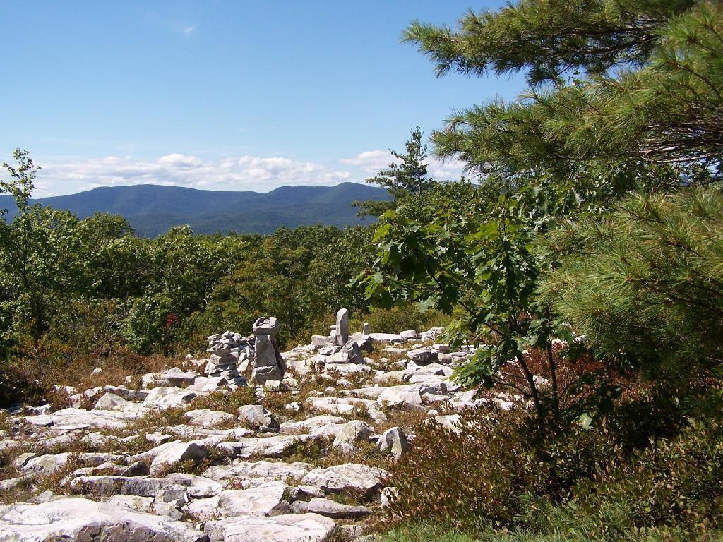

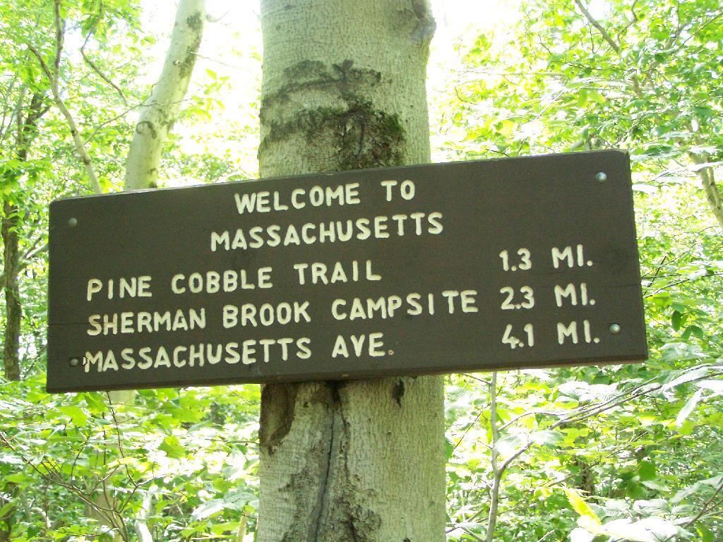
This is the Appalachian Trail where it crosses the state border from Massachusetts to Vermont. When it crosses the state line, it becomes part of the Green Mountain National Forest.
Sunday September 6, 2009 — Pine Cobble