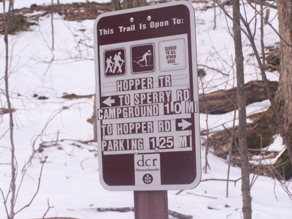
One Steep Mile Left Until Sperry Road

The farm where the parking area is a working beef cattle operation. Here is the barn.
Sunday December 13, 2009 — Mount Greylock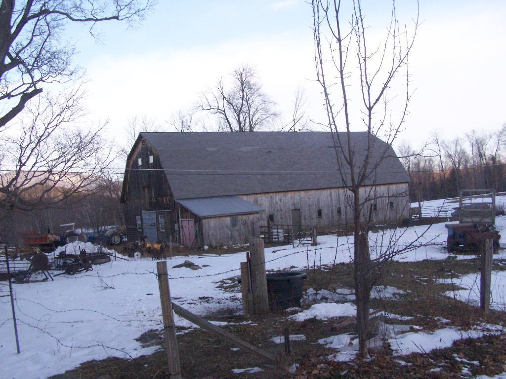

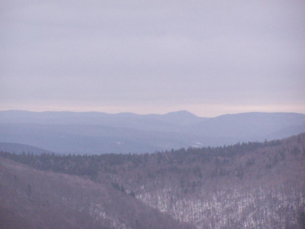
The Hopper Brook cuts deep between Mount Prospect, Stoney Clove, and Stony Ledge.
Sunday December 13, 2009 — Mount Greylock