Hinkley Reservior
Hinckley Lake is a reservoir located by Hinckley, New York. The lake serves water to 130,000 people in the greater Utica, New York area, is a source of hydropower, and supports recreation during all seasons. It provides flood control and helps ensure the Erie Canal has sufficient water all summer long. The lake is located in the towns of Russia in Herkimer County, and Remsen in Oneida County.

Looking Off Tassell Hill
Brilliant blue skies made for some nice views off Tassell Hill on Martin Luther King Day.
Monday January 16, 2023 — Alfred J Woodford State Forest — Albert J. Woodford Memorial State Forest 🗺 — Chittening Pond Fishing Area 🗺— PDF with All Maps 📚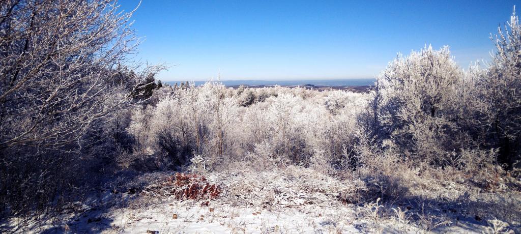
State Land – Timber Wildlife Recreation Water
I have not seen a Conservation Department State Land Marker like this one before, well before the modern DEC logo created in 1970 or possibly earlier.
Monday January 16, 2023 — Alfred J Woodford State Forest — Albert J. Woodford Memorial State Forest 🗺 — Chittening Pond Fishing Area 🗺— PDF with All Maps 📚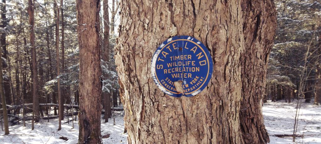

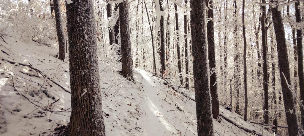
Mountain Bike Trail
Walking along a narrow part of the mountain bike trail that runs up to Tassell Hill. Most of the trail would be good for cross-country skiing but maybe not this very narrow section.
Monday January 16, 2023 — Alfred J Woodford State Forest — Albert J. Woodford Memorial State Forest 🗺 — Chittening Pond Fishing Area 🗺— PDF with All Maps 📚