Oneida County, NY 📍

Oneida County is a county located in the U.S. state of New York. As of the 2010 census, the population was 234,878. The county seat is Utica. The name is in honor of the Oneida, an Iroquoian tribe that lives in the region.

Oneida County is in the central portion of New York State, east of Syracuse, and west of Albany. Oneida Lake is on the northwestern corner of the county, and the Adirondack Park is on the northeast. Part of the Tug Hill Plateau is in the northern part of the county. Interestingly, Oneida County’s highest point does not lie on either the plateau nor in the Adirondack Park, but in the county’s southern extremity. The peak’s name is Tassel Hill. It is located slightly southeast of Hardscrabble Road (Tassel Hill Road), between the villages of Waterville and Cassville.

http://en.wikipedia.org/wiki/Oneida_County,_New_York

Download the PDF Map Pack
🗺️ Maps 🖼️ Photos

Waterville – Tassell Hill 1907

I pulled the 1907 Waterville Topographic Map as I was curious if any of the logging roads that are on Tassell Hill would appear on the old map. The answer is no.

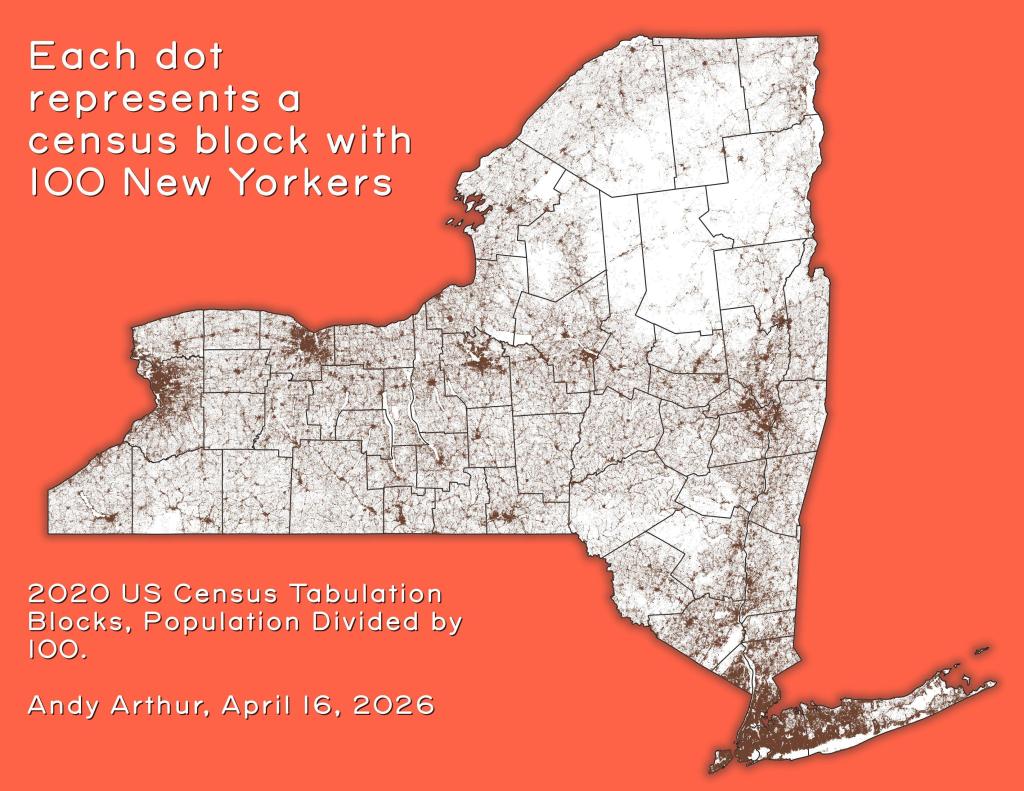
Thematic Map: Each dot represents a census block with 100 New Yorkers
SVGZ Graphic: 2022 Gubernatorial Race in NY City
SVGZ Graphic: BMI of Americans
SVGZ Graphic: Trains with Hazardous Materials That Derailed in 2022
Thematic Map: Natural Communities in Albany Pine Bush.jp