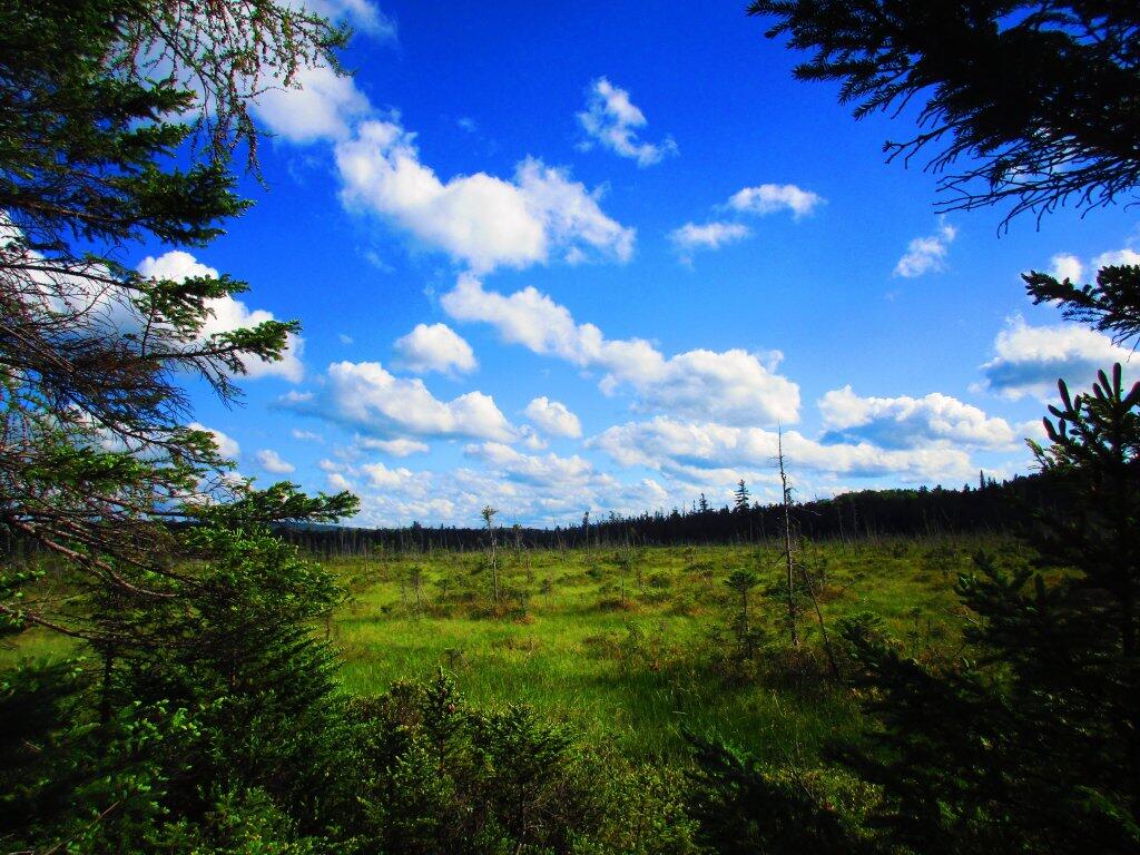
Backwater Marsh
Walking past one of the backwaters to Hitchens Pond along the Lows Upper Road.
Wednesday June 24, 2020 — Bog River Flow
Walking past one of the backwaters to Hitchens Pond along the Lows Upper Road.
Wednesday June 24, 2020 — Bog River Flow

Walking along Lows Upper Road aka Sabbist Scout Camp Road, there are mayn quiet and beautiful marshes to take in along the way.
Wednesday June 24, 2020 — Bog River Flow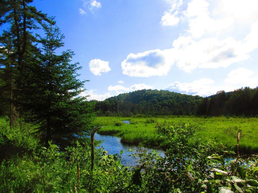

The stone-faced concrete bridge that takes NY 421 over the Bog River Falls, beautifully frames Tupper Lake and the bottom drop of the falls.
Thursday June 25, 2020 — Bog River Flow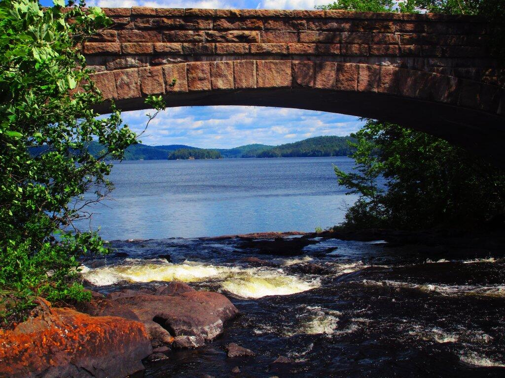

Above the short drop of the Bog River Falls into Tupper Lake, the river is y quiet placid, much like the more famous upper sections above the dam.
Thursday June 25, 2020 — Bog River Flow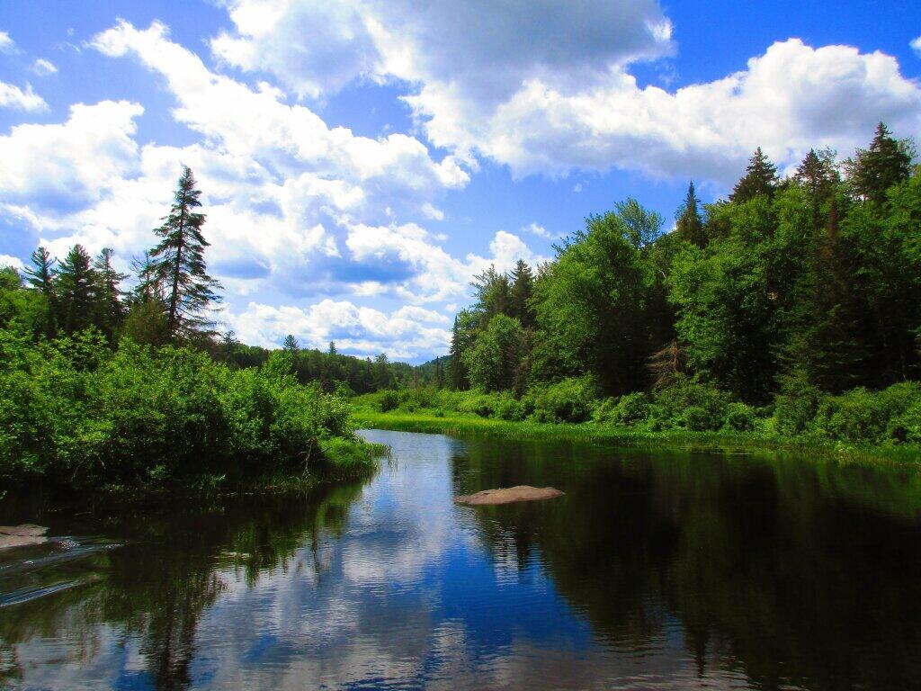

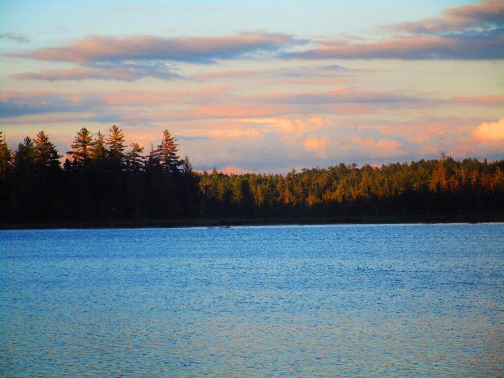
By the time I got off Lows Ledge and stopped at the Hitchens Pond Carry for a bit, it was almost 9 PM by the time I got back to my truck. I stopped and snapped this picture of the view along the way of Lows Upper Road, sometimes also called Sabbist Scout Camp Road. The road is gated, but it is maintained for DEC vehicles and the utility corridor that runs under it, and is a pleasant walk.
Wednesday June 24, 2020 — Bog River Flow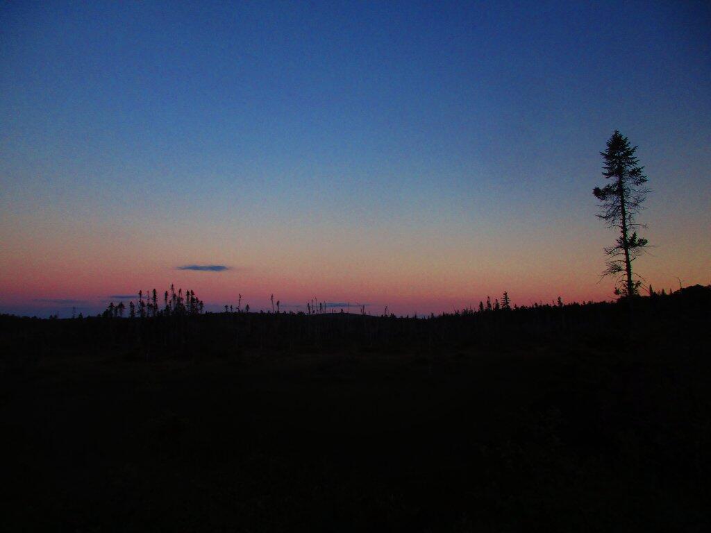

Enjoying a beautiful evening in the Adirondacks.
Wednesday June 24, 2020 — Bog River Flow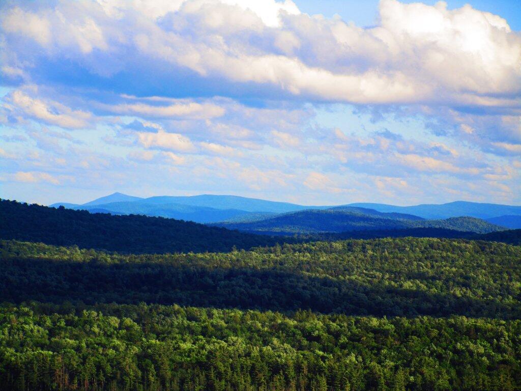

After hiking Lows Ledge, I spent some time down by Hitchens Pond at the carry, just taking in the darkening skies.
Wednesday June 24, 2020 — Bog River Flow