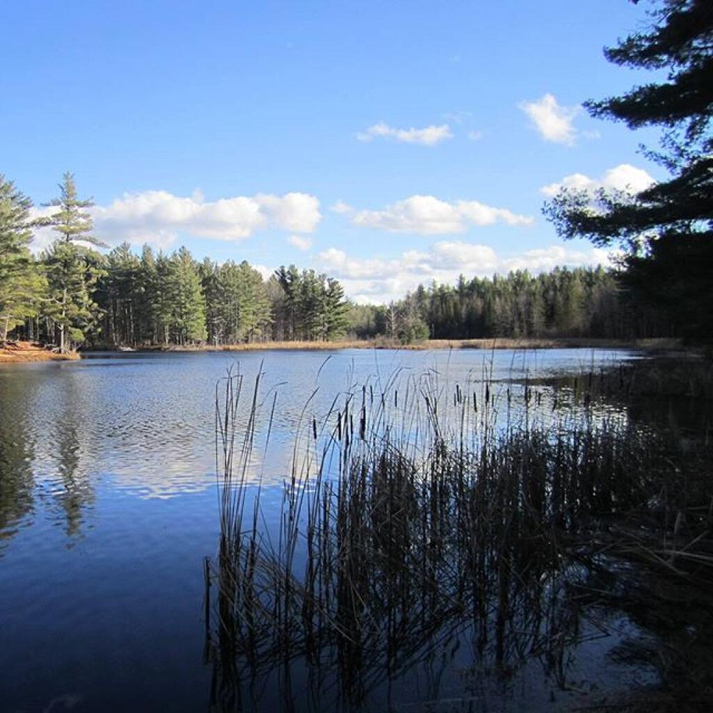
Redwater Pond


This is the swimming beach at Walter Pratt Campground. As you can see, it's some pretty nice swimming, although the lake is a little mucker then it appears in the pictures, and is a natural red-ish color from the minerals in the sand of the Saint Lawrence County.
Thursday August 20, 2009 — Brasher State Forest — Walter Pratt Forest Camping Area 🗺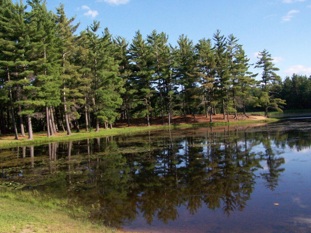


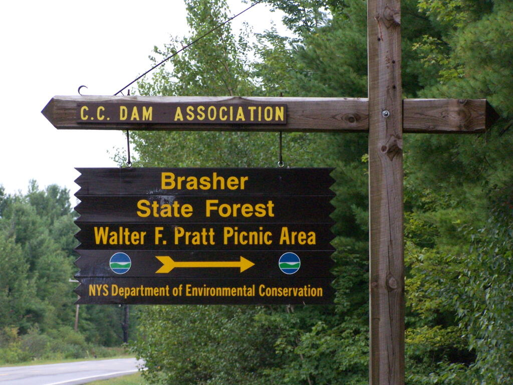
Here is the sign to the CC Dam Association / Walter Pratt Campground. It doesn't mention it's a campground on the sign, but when you go in it's quite apparent what it is. It's a nice place to spend a night or up to three without a permit or longer with a free DEC permit.
Friday August 21, 2009 — Brasher State Forest — Walter Pratt Forest Camping Area 🗺