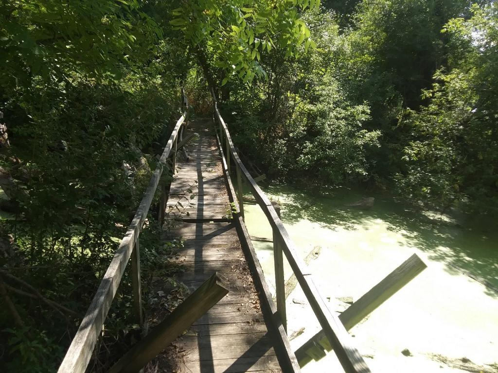
Catharine Creek WMA 📍

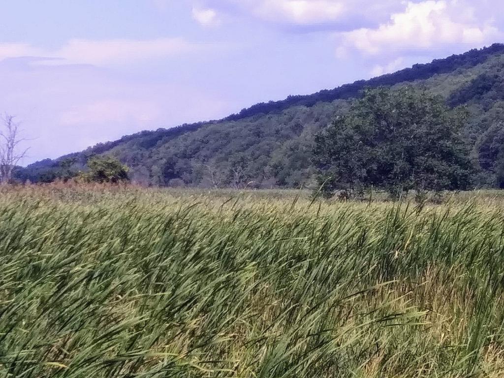
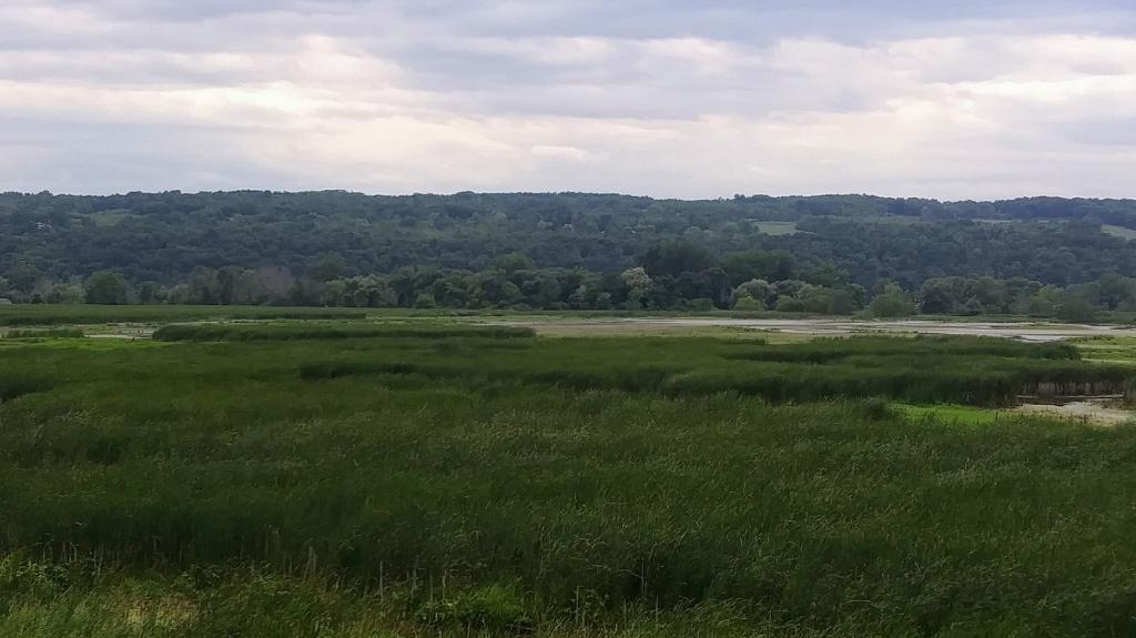
At the southern end of Seneca Lake, between Watkins Glen and Montour Falls, New York, an unusual natural area has evolved. Sedimentation and manipulation of the lake level has led to the formation of a 1,000 acre marsh complex. The area, named for the local Seneca Indian Queen, Catharine Montour, provides a haven for innumerable wildlife. Once navigable into what is now Montour Falls, the waters of Catharine Creek still feed a remnant section of the Chemung Barge Canal, which runs through the center of the marsh. This canal, critical to local industrial development, connected this portion of southern New York to the entire east coast. The Pennsylvania Railroad, bordering the canal through the marsh, served the area after the canal was closed in 1878. The area is rich with history from the time of the Senecas through the years, when much of the marsh was used for truck crop farming, muskrat farming and eventually reed harvesting.

http://www.dec.ny.gov/outdoor/24429.html
http://www.dec.ny.gov/outdoor/31021.html

🗺️ Maps 🖼️ Photos
Map: Wolf Creek Road
3D Map: Owls Head Trail in Long Lake
Map: Mad Tom Brook Trail
3D Map: Vromans Nose Trails
Map: Spruce Mountain Trail