
Middleburgh Cliff 📍

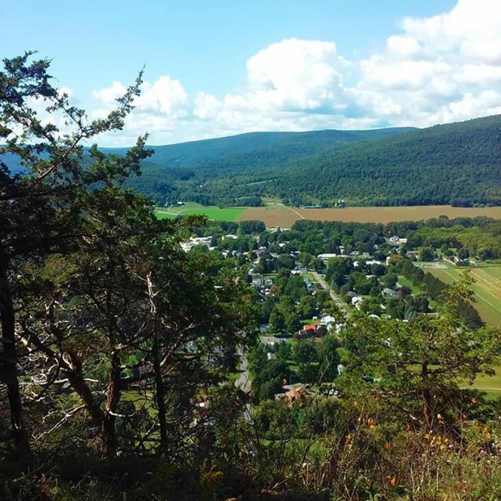
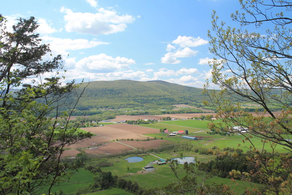
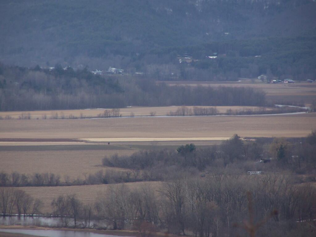
Directly to the East of Middleburgh there is a long narrow landform known as “The Cliff”. It’s a 500 foot high hill, with about 40 feet high cliffs, overlooking Middleburgh and Schoharie to the west. Cotton Hill sits above it to the east. While privately owned, the Long Path crosses it and you can use it to explore the cliffs.

🖼️ Photos
Map: Lincoln Mountain State Forest
Map: Stewart State Forest
Map: Severence Hill Trail

Christmas Lights

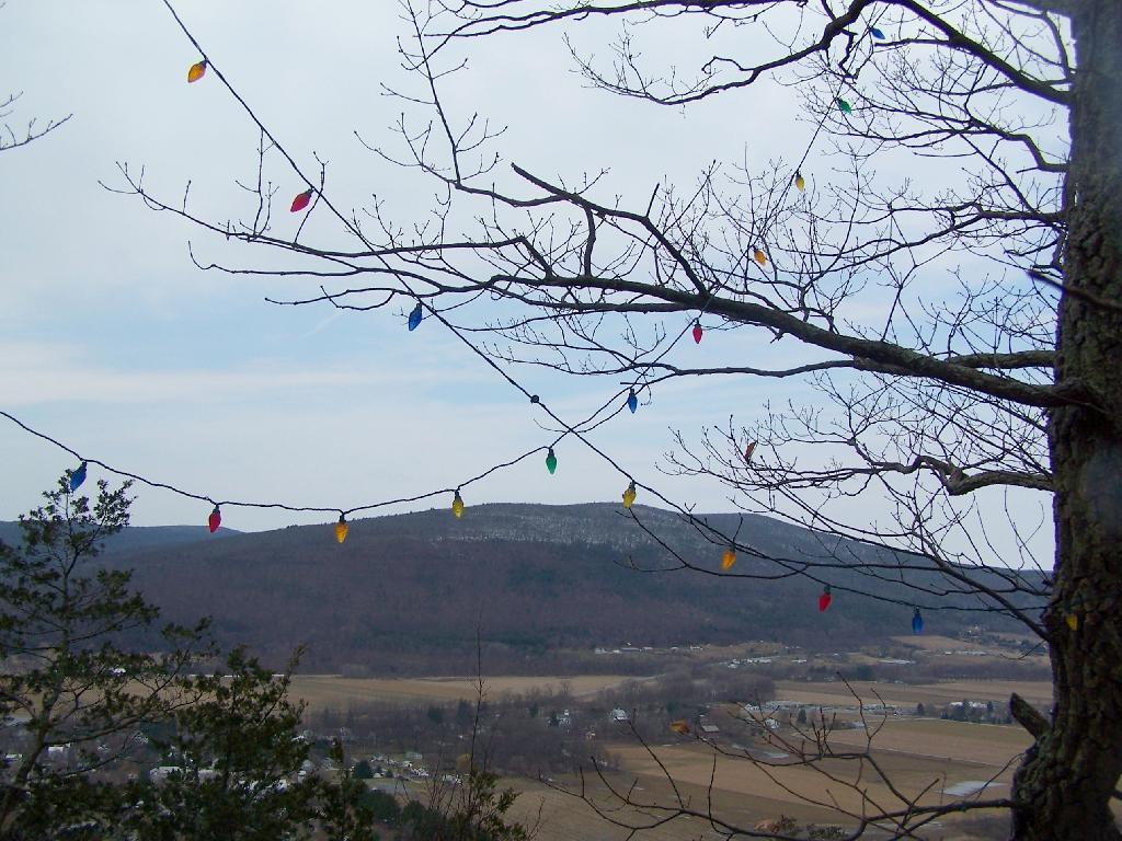
One of the stranger parts of the Cliff of Middleburgh is that a good portion of the cliff has Christmas Lights strung along the trees. Apparently during Christmas time, they light up the Cliff with Christmas lights. They've switched over a to a lot of LED lights, and the must power them by a generator.

Sunday March 21, 2010 — Middleburgh Cliff
Map: Big Buck State Forest And White Pond
SVGZ Graphic: Minnesota Population