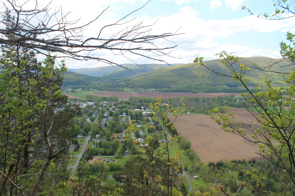
Middleburgh
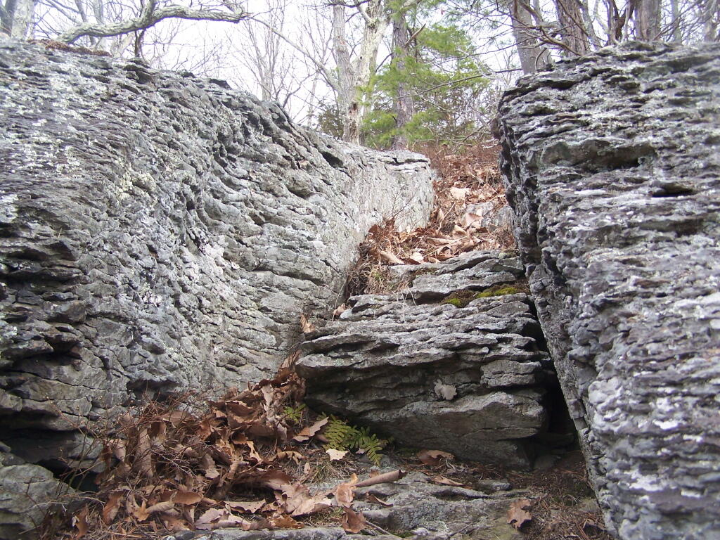

The Cliff of Middleburgh is not totally flat, but instead ascends several times as you go along it. The Long Path follows an ATV trail along this privately owned parcel.
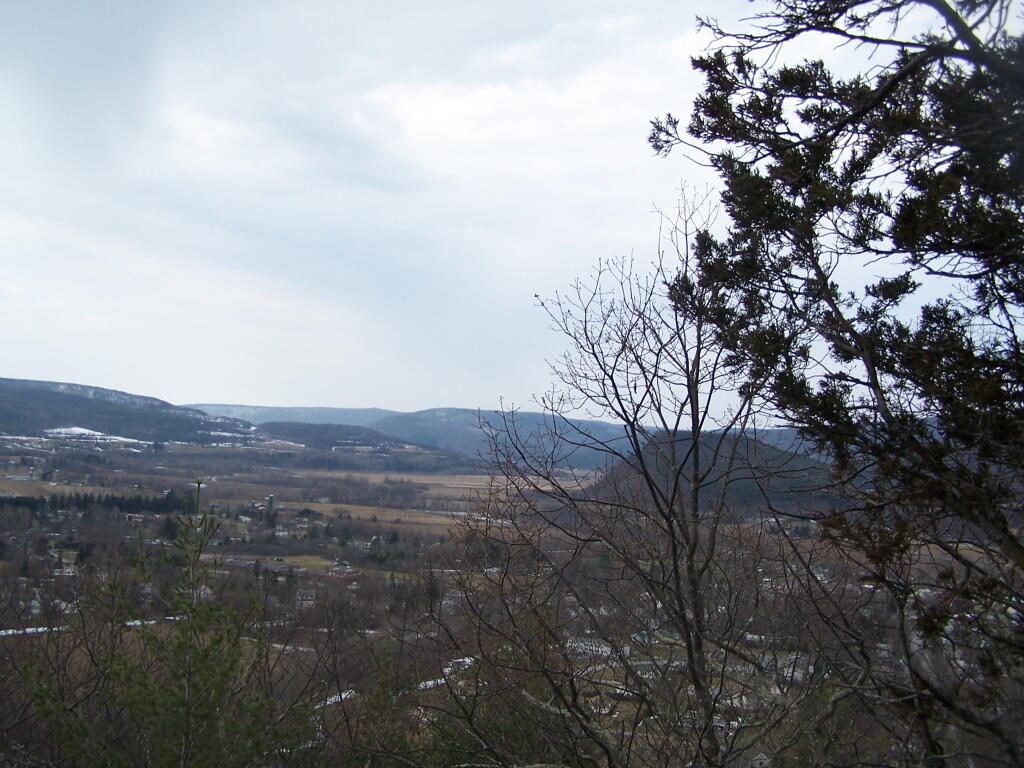
Sunday March 21, 2010 — Middleburgh Cliff

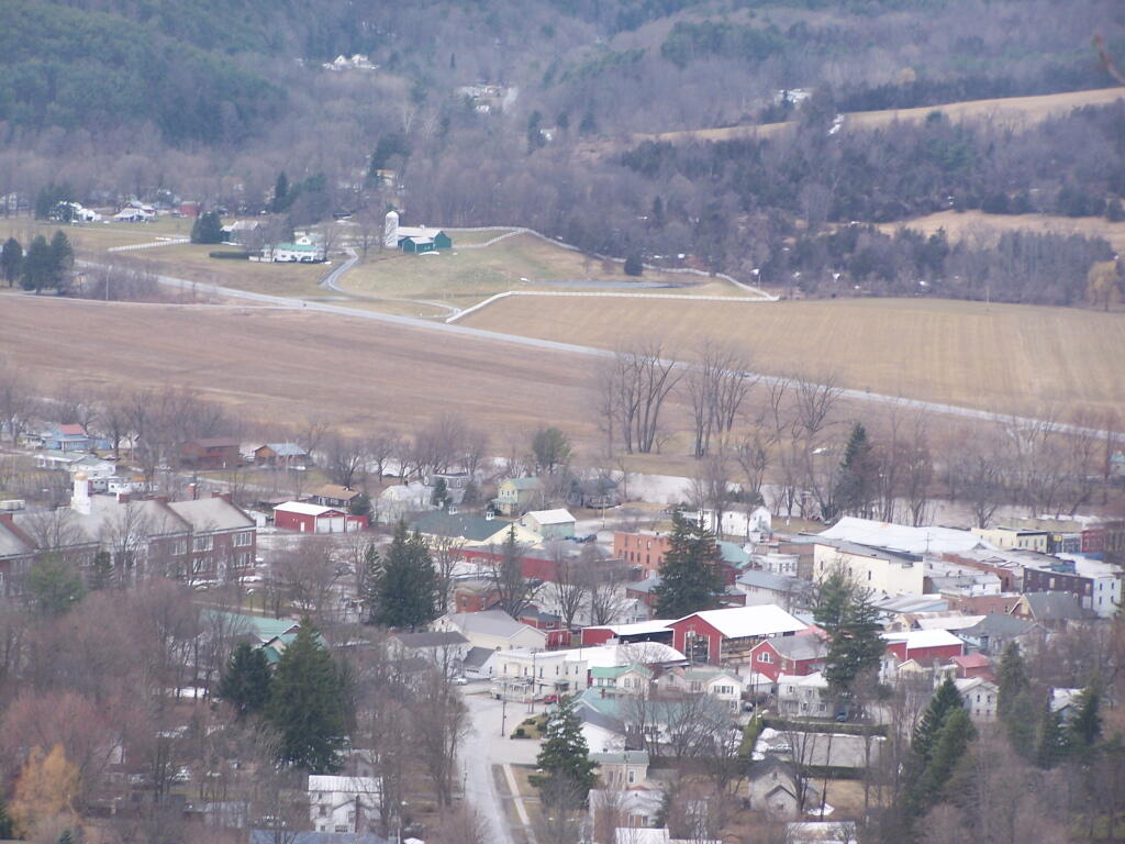

There are two ledges on the Cliff of Middleberg. From the first ledge, you start getting broken views to the south, including Vromans Nose.
Sunday March 21, 2010 — Middleburgh Cliff