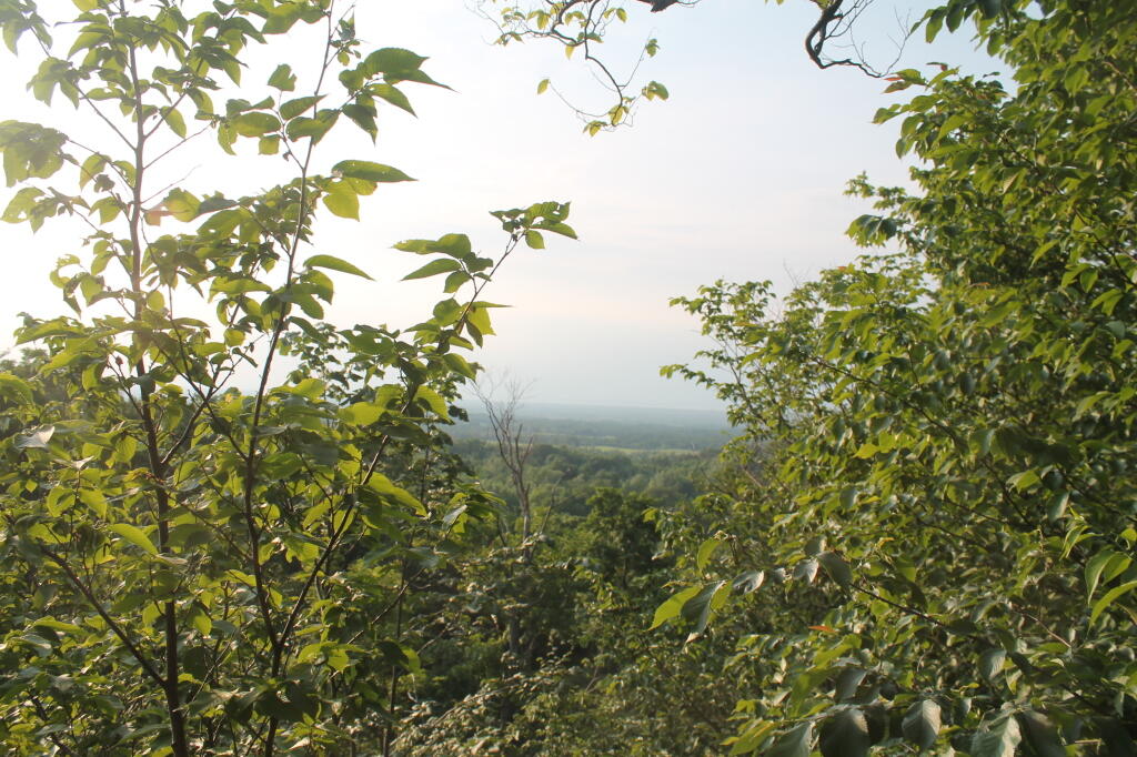
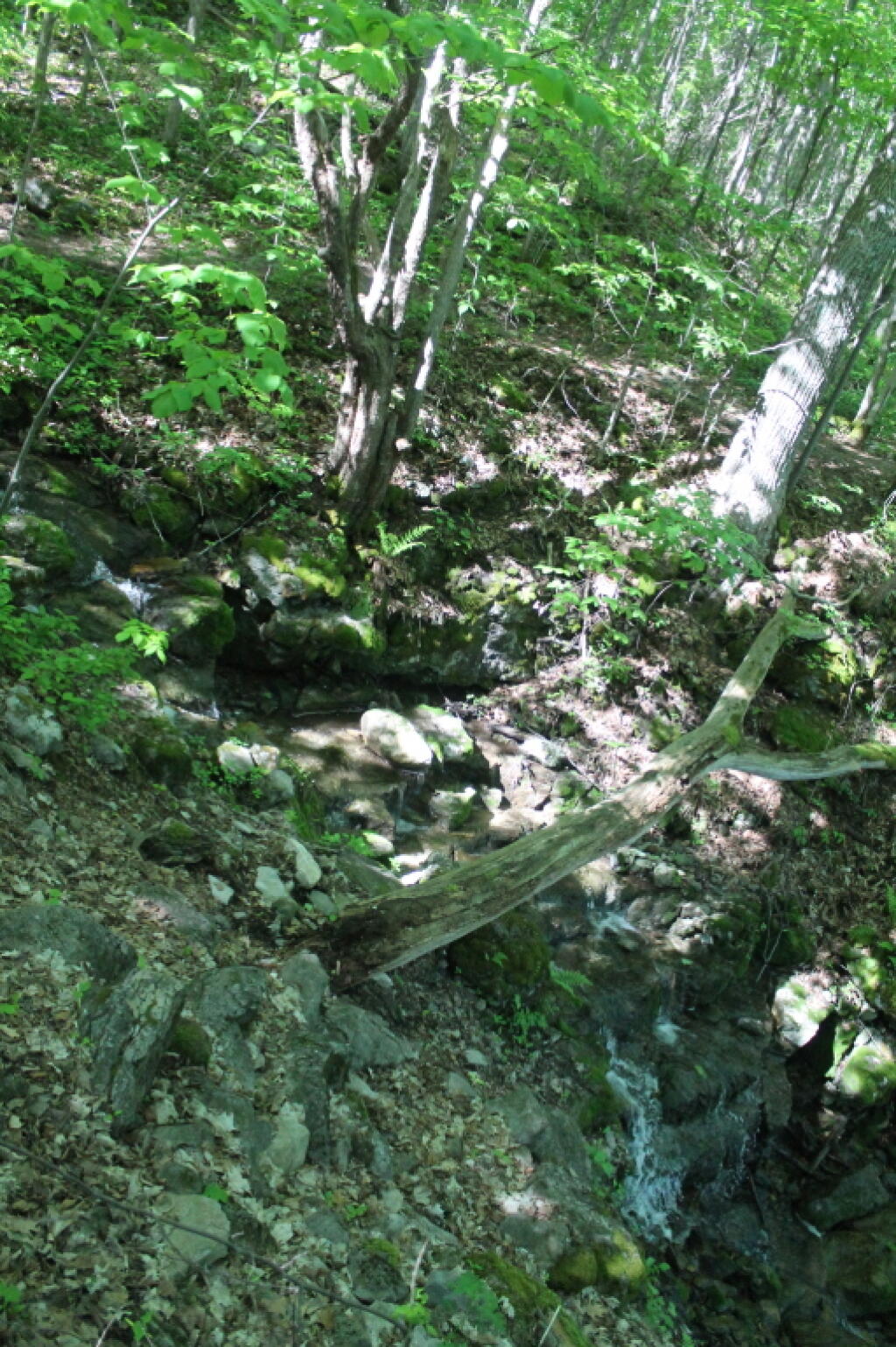
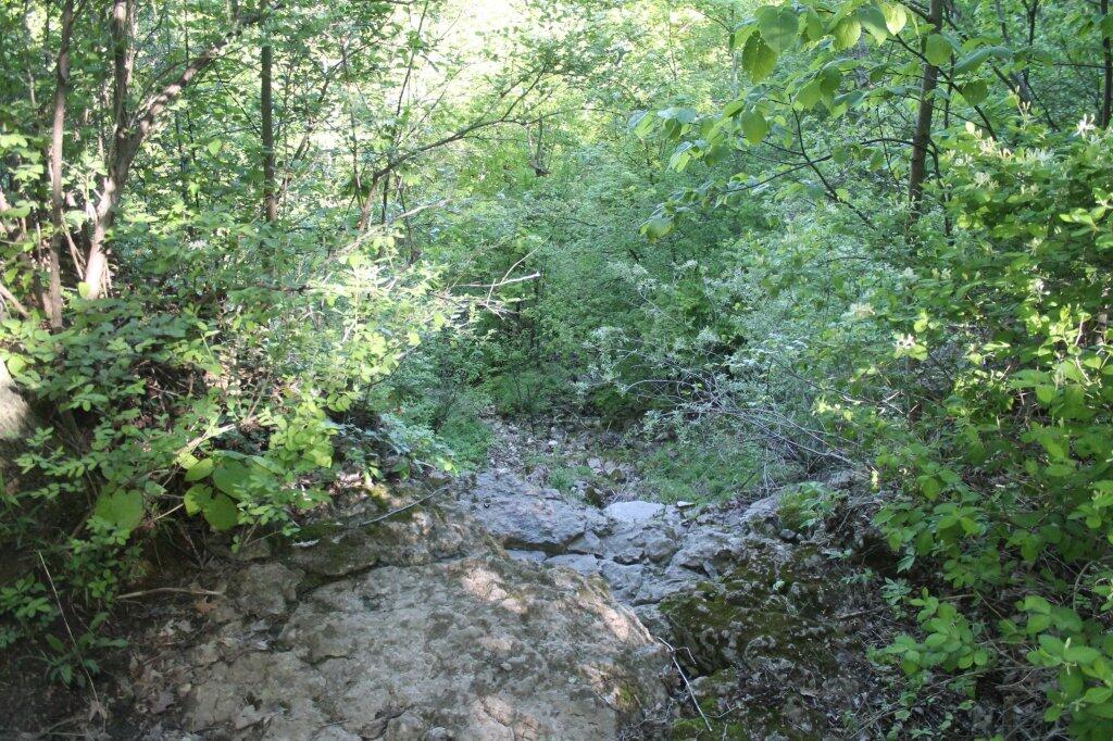
125 acres of woodland, streams, waterfalls, and rugged terrain. It is home to a picturesque 100-foot waterfall, and located on northern edge of geologic formation (Helderberg Escarpment) formed over 350 million years ago. It has great views of Oneida Lake, the Tug Hill Plateau, in an the distance, Lake Ontario. There are great sunsets from one of the overlooks here too.