North from Ferd’s Bog Trail


If you are looking to camp on a lake without the cost or crowds in a state campground, look no further than North Lake Reservoir, roughly a 1 hour drive northwest from Utica. Tucked deep within the southwestern foothills of the Adirondacks, this 432-acre reservior serves as part of the vital headwaters of the Black River, and is managed by the state Canal Authority to manage Black River levels and feed the Erie Canal.


North Lake Reservoir features 25 primitive campsites scattered along its shoreline.


Unlike many remote Adirondack ponds that restrict motorized use, motorboats are permitted on North Lake Reservoir. A small gravel boat launch makes it easy to get small motorized vessels, canoes, or kayaks onto the water. If you seeking solitude, you might be awoken by a motorboat. The reservoir is shallow and rocky in parts, use care when motorboating or paddling. While the reservoir has a medium acid content—making it a modest fish producer—anglers can still cast their lines for tiger muskie, white sucker, perch, and bullhead.


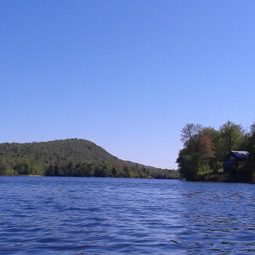
North Lake is partially developed. While you will enjoy plenty of pristine shoreline, you will also spot private cabins and camps interspersed along the south east of the waterfront:

Rich local history is anchored at the reservoir’s southern tip in the historic, ghost-like hamlet of Atwell, New York. The settlement was named after Atwell Martin, a legendary local hermit rumored to protect a secret silver mine with silver musket balls. When visiting, you can drive across the North Lake Dam (built originally in 1857) and spot the historic valve house resting just below the embankment. Nearby sits the decaying 1892 North Lake State House, which once housed the official reservoir tender tasked with hand-turning the water valves to feed the Erie Canal network.


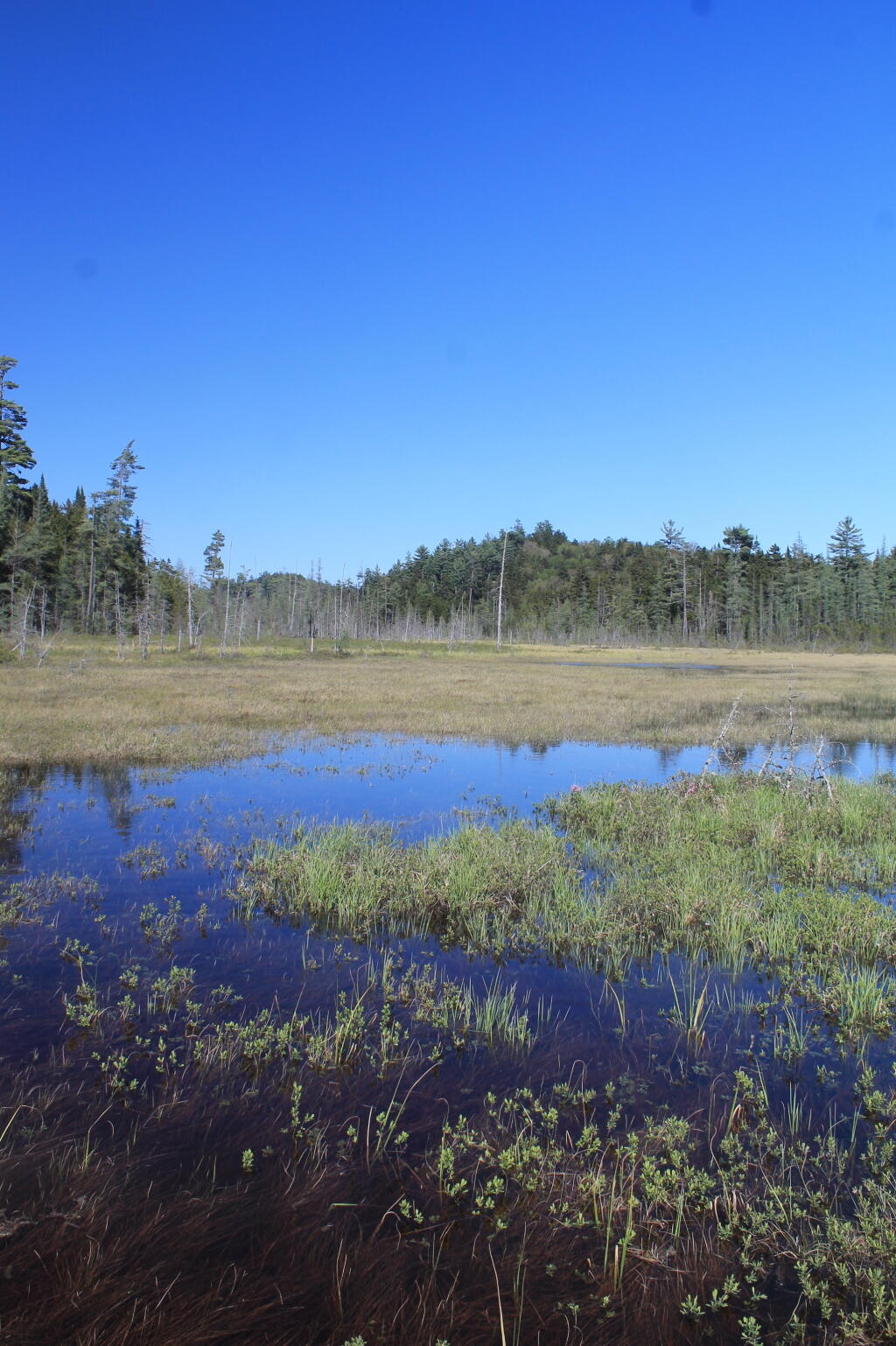
The surrounding trail system connects you to excellent backcountry hikes and adjacent waterways:


While you start out on asphalt North Lake Road in Forestport, it is a nice smooth drive. However, rhe road gets notably rougher as you get closer to North Lake – eventually becoming dirt. The unpaved forest road is open to all vehicles however it can be punishing on your suspension with many bumps and washboards. Slow down! 
Note: Cell service is virtually non-existent out here. Be sure to download offline maps or carry a physical topographic map before leaving Route 28!