
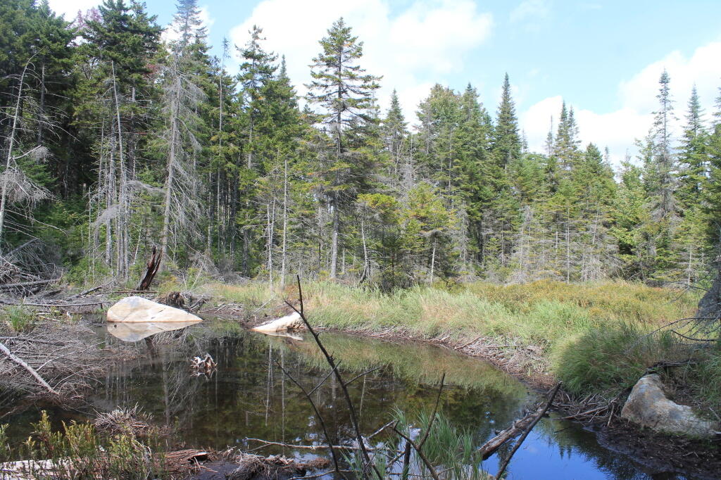
Falls Pond 📍

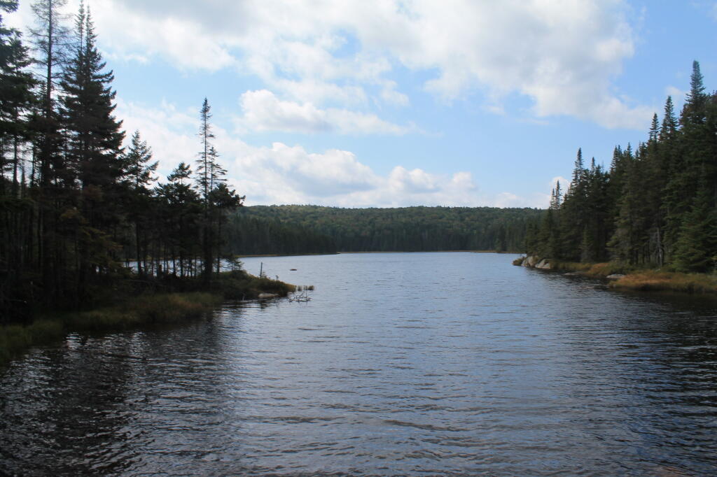
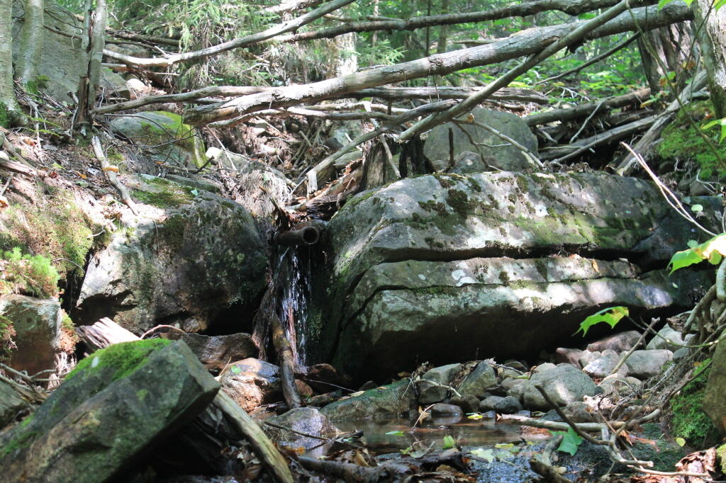
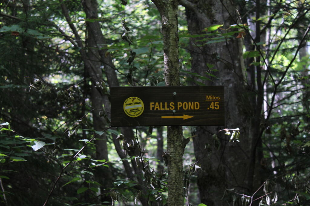
A less visited pond in the Moose River Plains complex, it is usually accessed from Indian Lake Road, one mile past the Otter Brook bridge, at the field where the Brookhouse Trailhead is. From there, you hike the Brookhouse Trail for 1.5 miles, which is an old logging road, before turning right at sign to Falls Pond. The Falls Pond trail is a bit rough to follow in parts, it crosses a stream and goes through some brambles, before you get to this delightful little wilderness lake.

http://www.adksports.com/aug12_5.html

🗺️ Maps 🖼️ Photos
Map: Coulumbe Creek Trail
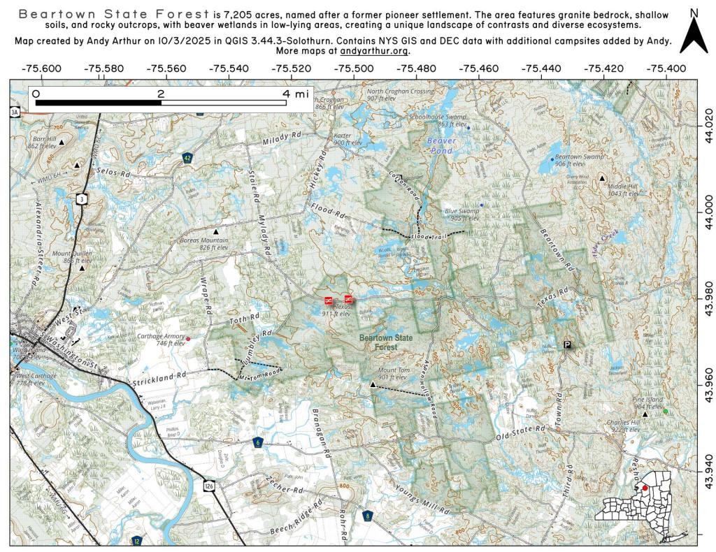
Map: Beartown State Forest
SVGZ Graphic: Adult Obesity in America
Thematic Map: Log Homes of Albany County
Map: Empire State Topography