
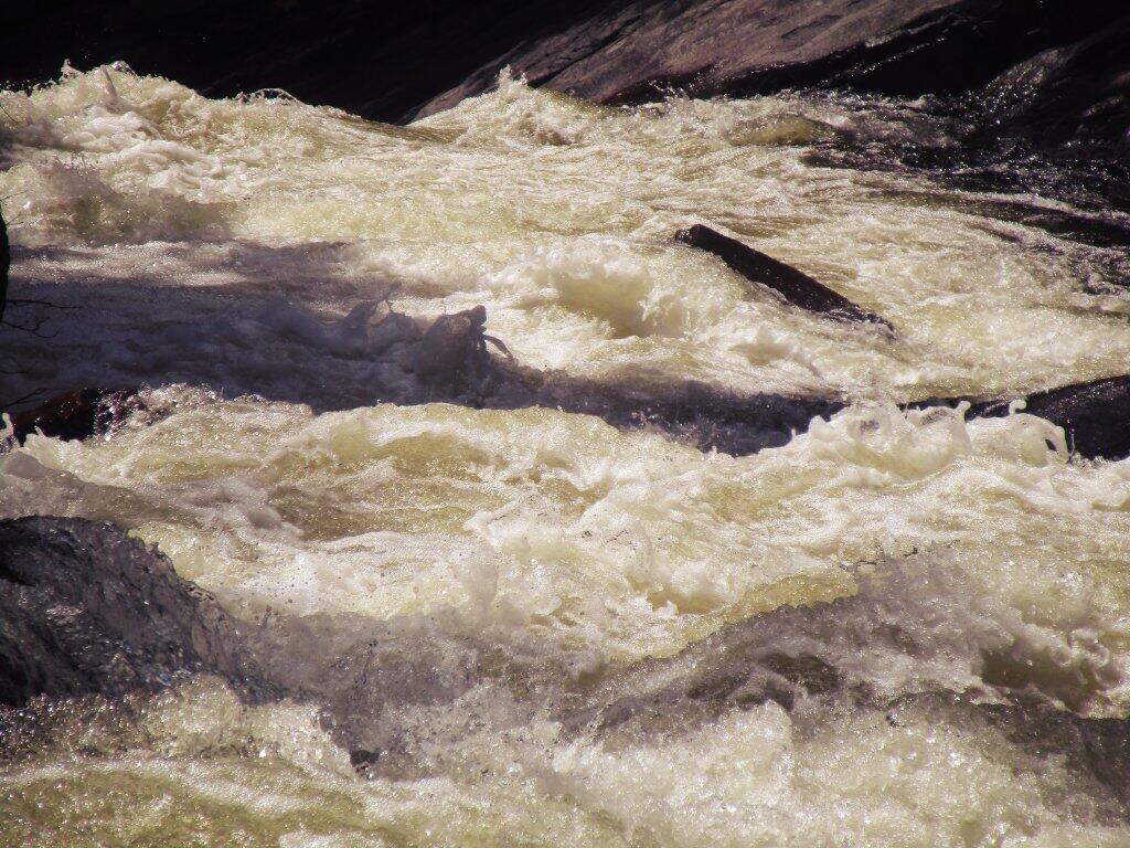
Foam
Below NY 8 Bleeds
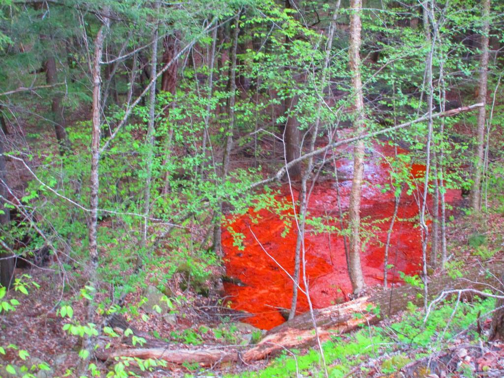
I noticed that the hillside below the modern NY 8 cut and fill near Auger Falls is bleeding red. I assume it's iron eating bacteria, from cutting and filling in part of the hillside as part of the 1968 bypass of Old Route 8A. Too red to be acid mine drainage, which is uncommon in Adirondacks unlike Appalachia.

Auger Falls Snowmobile Trail
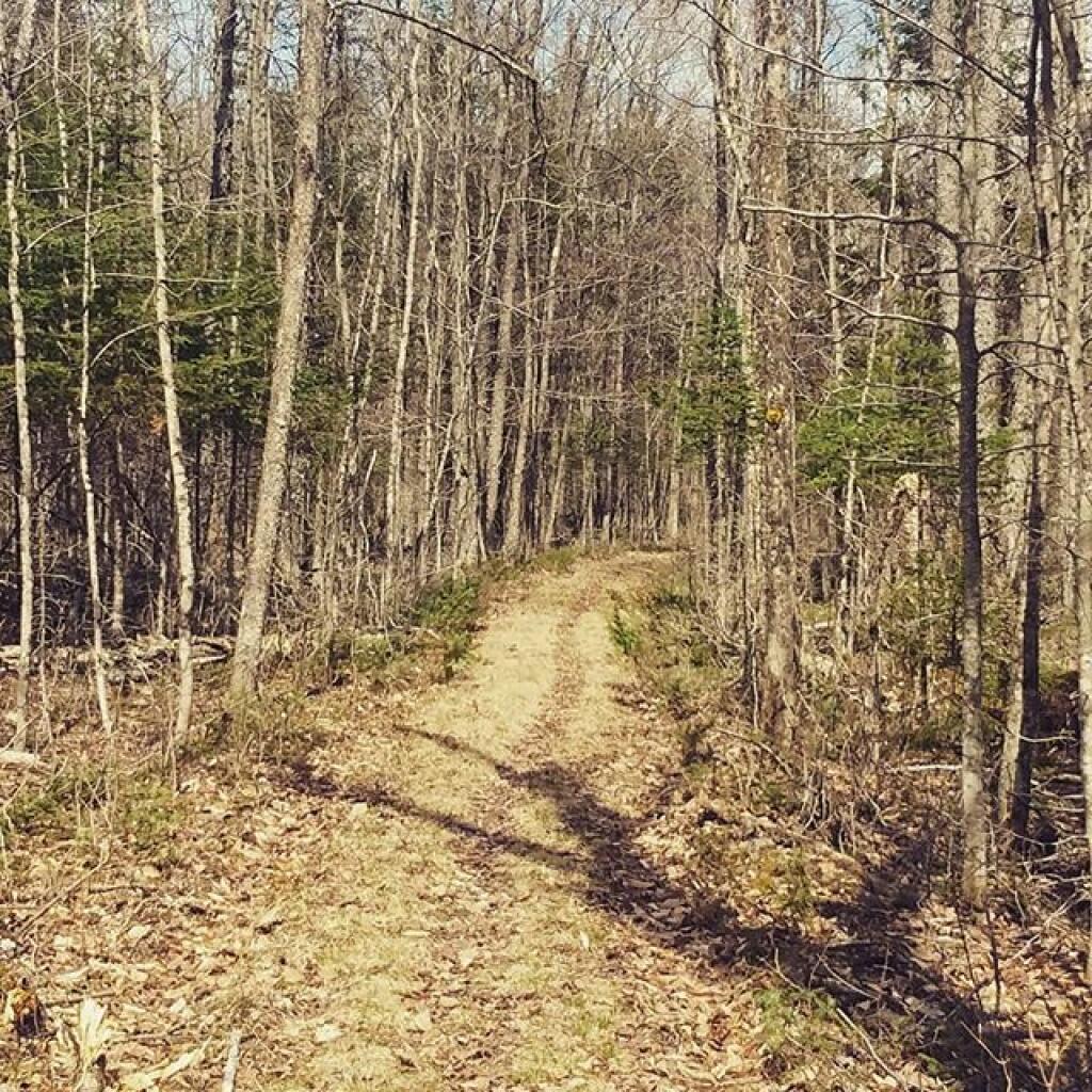

Old Route 8A
Past Auger Falls is quite visible on the aerial photography as the road remains cleared as a grass covered snowmobile trail with most of the pre-1968 routing still visible.