
Twin Mountain 📍

Twin Mountain is a mountain located in Greene County, New York. Twin gets its name from its two summits; the lower, 3,590-ft (1,090 m) peak is about .5 miles (0.8 km) to the southeast of the higher. The mountain is part of the Devil’s Path range of the Catskill Mountains. To the northwest, Twin Mtn. is separated from Sugarloaf Mountain by Pecoy Notch; to the southeast, Twin Mtn. is separated from Indian Head Mountain by Jimmy Dolan Notch.

https://www.wikiwand.com/en/Twin_Mountain_(Greene_County,_New_York)

🖼️ Photos
Map: Carters Pond Wildlife Management Area
Map: Green Mnt NF Forest Road 74 Camping
Map: Greenwood Creek State Forest
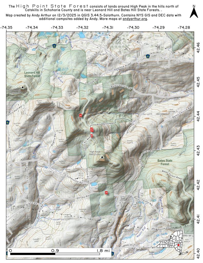
Map: High Point State Forest

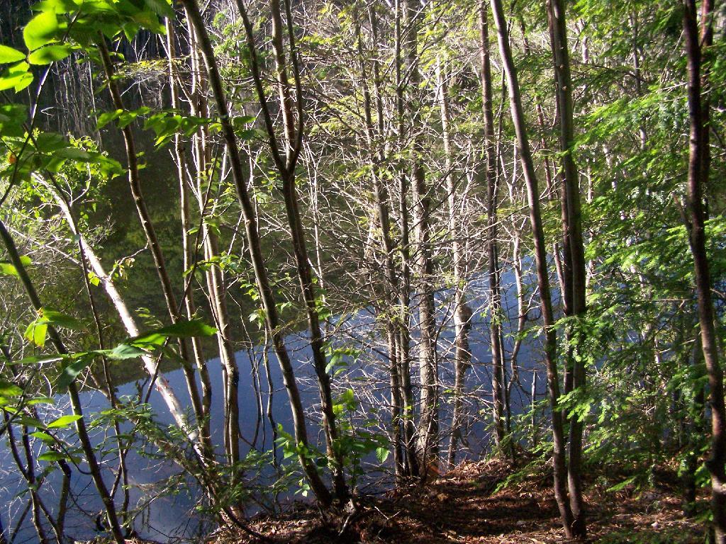
Beaver Swamp

This is the one of the headwaters that feeds the Upper Branch of the Schoharie Creek. You could say this where it "all starts" for the Schoharie Creek.

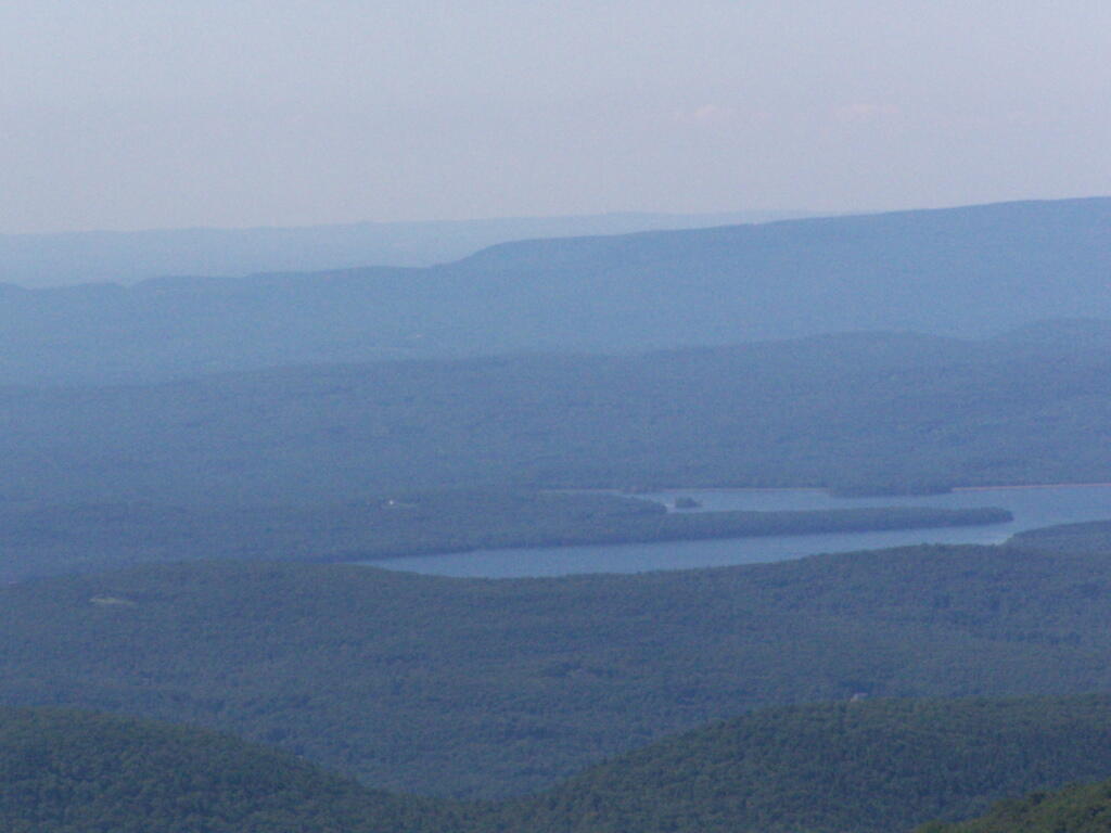
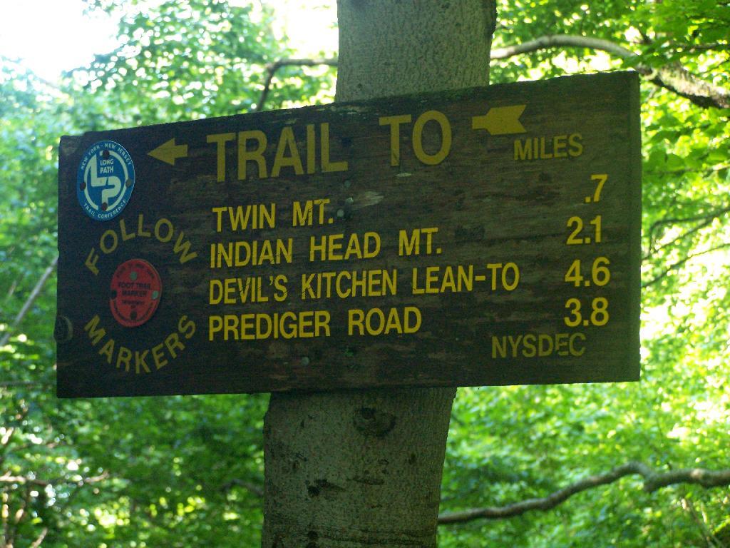
Sunday July 12, 2009 — Twin Mountain
Map: Golden Hill State Forest