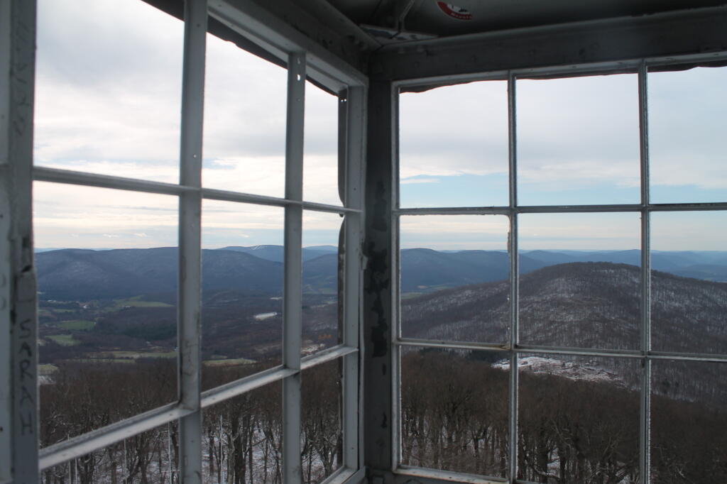
Hazy, Spring Day Overlooking Stamford
Stamford is below.
Saturday April 3, 2010 — Utsayantha Mountain
Stamford is below.
Saturday April 3, 2010 — Utsayantha Mountain


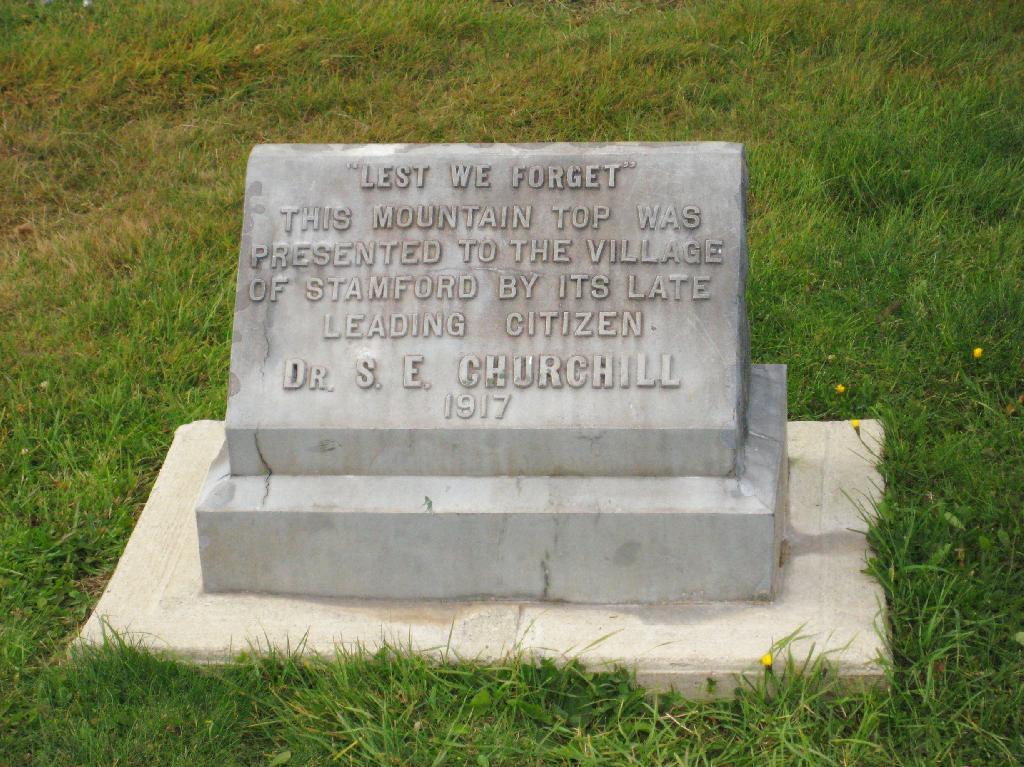
Dr. S.E. Churchill, a wealthy land owner in the area donated this mountaintop to the village in 1917.
Sunday October 11, 2009 — Utsayantha Mountain